Estimated Value: $330,000 - $1,034,000
1
Bed
1
Bath
644
Sq Ft
$989/Sq Ft
Est. Value
About This Home
This home is located at 231 Spruce, Unity, ME 04988 and is currently estimated at $637,035, approximately $989 per square foot. 231 Spruce is a home located in Waldo County with nearby schools including Mt. View Middle School, Mt. View High School, and Ecology Learning Center.
Ownership History
Date
Name
Owned For
Owner Type
Purchase Details
Closed on
Sep 28, 2022
Sold by
Mihos Dimitrios and Mihos Sandra C
Bought by
Stahlman Deborah L and Prout Kevin
Current Estimated Value
Purchase Details
Closed on
Aug 20, 2008
Sold by
Dalton Richard and Dalton Sandra
Bought by
Mihos Dimitrios and Mihos Sandra C
Home Financials for this Owner
Home Financials are based on the most recent Mortgage that was taken out on this home.
Original Mortgage
$138,000
Interest Rate
6.4%
Mortgage Type
Purchase Money Mortgage
Create a Home Valuation Report for This Property
The Home Valuation Report is an in-depth analysis detailing your home's value as well as a comparison with similar homes in the area
Purchase History
| Date | Buyer | Sale Price | Title Company |
|---|---|---|---|
| Stahlman Deborah L | $775,000 | None Available | |
| Mihos Dimitrios | -- | -- |
Source: Public Records
Mortgage History
| Date | Status | Borrower | Loan Amount |
|---|---|---|---|
| Previous Owner | Mihos Dimitrios | $138,000 |
Source: Public Records
Tax History
| Year | Tax Paid | Tax Assessment Tax Assessment Total Assessment is a certain percentage of the fair market value that is determined by local assessors to be the total taxable value of land and additions on the property. | Land | Improvement |
|---|---|---|---|---|
| 2024 | $3,485 | $230,000 | $131,200 | $98,800 |
| 2022 | $2,927 | $184,100 | $105,000 | $79,100 |
| 2021 | $2,973 | $184,100 | $105,000 | $79,100 |
| 2020 | $3,125 | $179,100 | $105,000 | $74,100 |
| 2019 | $2,429 | $139,200 | $105,000 | $34,200 |
| 2018 | $2,357 | $140,700 | $105,000 | $35,700 |
| 2017 | $2,343 | $140,700 | $105,000 | $35,700 |
| 2016 | $2,371 | $140,700 | $105,000 | $35,700 |
| 2014 | $2,082 | $140,700 | $105,000 | $35,700 |
| 2013 | $1,885 | $140,700 | $105,000 | $35,700 |
Source: Public Records
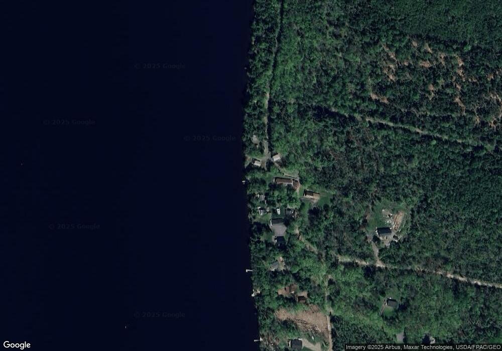
Map
Nearby Homes
- Lot # 5 Locust Ln
- 126 Rancourt Ln
- Lot 45-1 Maine 220
- 44 Charles Taylor Ln
- 23 Bangor Rd
- 12-03 Horseback Rd
- Pond View Subdivision Us-202
- M12 L31-3 Stage Coach Rd
- 5 Chestnut St
- 13 Chestnut St
- 126 Newell Ct
- 391 School St
- Lot 4A Off Morgan Rd
- M 5 Lot 41 Morgan Rd
- M 5 Lot 40 Morgan Rd
- M5 Lot 43 Morgan Rd
- 550 Troy Rd
- 45 Carter
- 194 E Gulch Rd
- 3 Pine Ln
- 231 Natures Ln
- 171 Redwood Ln
- 175 Redwood Ln
- 176 Redwood Ln
- 165 Heald Camp Rd
- 161 Heald Camp Rd
- 157 Heald Camp Rd
- 111 Redwood Ln
- 143 Heald Camp Rd
- 151 Heald Camp Rd
- 9 Robin Ln
- 166 Heald Camp Rd
- 147 Heald Camp Rd
- 30 Robin Ln
- 145 Heald Camp Rd
- 145 Heald Camp Rd
- 15 Robin Ln
- 0 Robin Ln Unit 1512795
- Lot 3 Robin Ln
- 101 Robin Ln
Your Personal Tour Guide
Ask me questions while you tour the home.