Estimated Value: $272,000 - $313,000
4
Beds
3
Baths
1,666
Sq Ft
$181/Sq Ft
Est. Value
About This Home
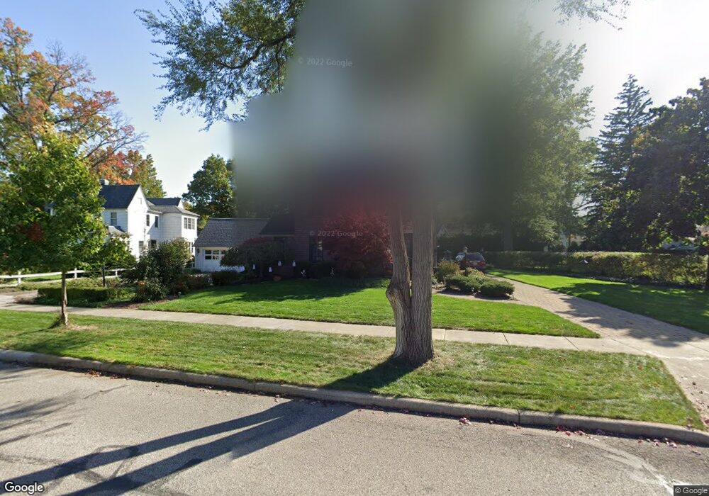
This home is located at 231 Stanford Dr, Berea, OH 44017 and is currently estimated at $301,547, approximately $181 per square foot. 231 Stanford Dr is a home located in Cuyahoga County with nearby schools including Grindstone Elementary School, Berea-Midpark Middle School, and Berea-Midpark High School.
Ownership History
Date
Name
Owned For
Owner Type
Purchase Details
Closed on
Aug 31, 2012
Sold by
Burke Dennis T and Burke Mary Ann
Bought by
Burke Dennis T and Burke Mary Ann
Current Estimated Value
Purchase Details
Closed on
Jun 25, 1991
Sold by
Knight Henry F
Bought by
Burke Dennis T
Purchase Details
Closed on
Oct 11, 1989
Sold by
Zabor Thurley M
Bought by
Knight Henry F
Purchase Details
Closed on
Sep 24, 1979
Bought by
Zabor Thurley M
Purchase Details
Closed on
Oct 19, 1977
Sold by
Zabor Elmer J and Zabor Thurley M
Bought by
Zabor Thurley M Trustee
Purchase Details
Closed on
Jan 1, 1975
Bought by
Zabor Elmer J and Zabor Thurley M
Create a Home Valuation Report for This Property
The Home Valuation Report is an in-depth analysis detailing your home's value as well as a comparison with similar homes in the area
Home Values in the Area
Average Home Value in this Area
Purchase History
| Date | Buyer | Sale Price | Title Company |
|---|---|---|---|
| Burke Dennis T | -- | None Available | |
| Burke Dennis T | $155,000 | -- | |
| Knight Henry F | $120,000 | -- | |
| Zabor Thurley M | $40,000 | -- | |
| Zabor Thurley M - Trs | -- | -- | |
| Zabor Thurley M Trustee | -- | -- | |
| Zabor Elmer J | -- | -- |
Source: Public Records
Tax History
| Year | Tax Paid | Tax Assessment Tax Assessment Total Assessment is a certain percentage of the fair market value that is determined by local assessors to be the total taxable value of land and additions on the property. | Land | Improvement |
|---|---|---|---|---|
| 2024 | $5,189 | $99,470 | $15,540 | $83,930 |
| 2023 | $4,104 | $68,400 | $12,430 | $55,970 |
| 2022 | $4,107 | $68,390 | $12,430 | $55,970 |
| 2021 | $4,070 | $68,390 | $12,430 | $55,970 |
| 2020 | $3,789 | $57,960 | $10,540 | $47,430 |
| 2019 | $3,688 | $165,600 | $30,100 | $135,500 |
| 2018 | $3,855 | $57,960 | $10,540 | $47,430 |
| 2017 | $4,323 | $62,620 | $11,940 | $50,680 |
| 2016 | $4,291 | $62,620 | $11,940 | $50,680 |
| 2015 | $4,056 | $62,620 | $11,940 | $50,680 |
| 2014 | $4,056 | $62,620 | $11,940 | $50,680 |
Source: Public Records
Map
Nearby Homes
- 211 W Bridge St
- 209 Gibson St
- 160 Marian Ln Unit 6A
- 146 Marian Ln
- 216 Kraft St
- 47 Prospect St
- 57 Riverside Dr
- 300 West St
- 404 Crescent Dr
- 287 Edgewood Dr
- 93 W 5th Ave
- 445 Berea St
- 388 Fairwood Cir
- 41 W 5th Ave
- 487 Karen Dr
- 49 Monroe St
- 628 Lindbergh Blvd
- 56 3rd Ave
- 0 E Bagley Rd Unit 5111166
- 275 Quarrystone Ln
- 249 Stanford Dr
- 223 Westbridge Dr
- 136 Baker St
- 142 Baker St
- 232 Stanford Dr
- 132 Baker St
- 217 Westbridge Dr
- 238 Stanford Dr
- 146 Baker St
- 226 Stanford Dr
- 242 Stanford Dr
- 126 Baker St
- 220 Stanford Dr
- 150 Baker St
- 246 Stanford Dr
- 122 Baker St
- 211 Westbridge Dr
- 211 E Bridge St
- 250 Stanford Dr
- 116 Baker St
Your Personal Tour Guide
Ask me questions while you tour the home.