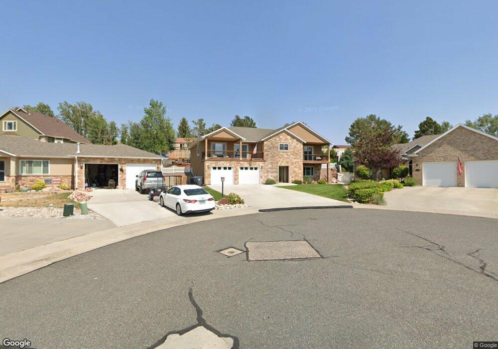
231 Talon Ct Cheyenne, WY 82009
Estimated Value: $625,994 - $802,000
4
Beds
3
Baths
1,900
Sq Ft
$381/Sq Ft
Est. Value
About This Home
This home is located at 231 Talon Ct, Cheyenne, WY 82009 and is currently estimated at $724,749, approximately $381 per square foot. 231 Talon Ct is a home located in Laramie County with nearby schools including Davis Elementary School, McCormick Junior High School, and Central High School.
Ownership History
Date
Name
Owned For
Owner Type
Purchase Details
Closed on
Sep 16, 2011
Sold by
Troudt Craig
Bought by
Smith Jeffrey S and Smith Verdeanne L
Current Estimated Value
Home Financials for this Owner
Home Financials are based on the most recent Mortgage that was taken out on this home.
Original Mortgage
$270,000
Outstanding Balance
$107,182
Interest Rate
4.43%
Mortgage Type
New Conventional
Estimated Equity
$617,567
Purchase Details
Closed on
Mar 9, 2011
Sold by
Gms Investment Holdings Llc
Bought by
Troudt Dennis
Create a Home Valuation Report for This Property
The Home Valuation Report is an in-depth analysis detailing your home's value as well as a comparison with similar homes in the area
Purchase History
| Date | Buyer | Sale Price | Title Company |
|---|---|---|---|
| Smith Jeffrey S | -- | None Available | |
| Troudt Craig | -- | None Available | |
| Troudt Dennis | -- | None Available |
Source: Public Records
Mortgage History
| Date | Status | Borrower | Loan Amount |
|---|---|---|---|
| Open | Smith Jeffrey S | $270,000 |
Source: Public Records
Tax History
| Year | Tax Paid | Tax Assessment Tax Assessment Total Assessment is a certain percentage of the fair market value that is determined by local assessors to be the total taxable value of land and additions on the property. | Land | Improvement |
|---|---|---|---|---|
| 2025 | $4,458 | $47,052 | $5,783 | $41,269 |
| 2024 | $4,458 | $63,047 | $7,711 | $55,336 |
| 2023 | $4,460 | $63,081 | $7,711 | $55,370 |
| 2022 | $4,225 | $58,541 | $7,711 | $50,830 |
| 2021 | $3,606 | $49,851 | $7,483 | $42,368 |
| 2020 | $3,539 | $49,055 | $7,483 | $41,572 |
| 2019 | $2,971 | $41,145 | $7,483 | $33,662 |
| 2018 | $2,898 | $40,524 | $7,483 | $33,041 |
| 2017 | $2,884 | $39,956 | $7,483 | $32,473 |
| 2016 | $2,833 | $39,245 | $7,297 | $31,948 |
| 2015 | $2,727 | $37,758 | $7,297 | $30,461 |
| 2014 | $2,648 | $36,429 | $7,297 | $29,132 |
Source: Public Records
Map
Nearby Homes
- 6231 Kemp Hill Dr
- 6810 Yellowstone Rd
- 7219 Yellowstone Rd
- 101 Applewood Ct
- 113 Applewood Ct
- 6902 Manhattan Ln
- 7106 Willshire Blvd
- 7017 Willshire Blvd
- 6819 Willshire Blvd
- 7413 Willshire Blvd
- 7120 Pasadena Rd
- 7415 Windsor Blvd
- 713 Gabriel Ct
- 5925 Townsend Place
- 122 Brookfield Ct Unit 3
- 7308 Legacy Pkwy
- 6805 Grand Teton Ct
- 5907 Townsend Place
- 234 Miller Ln Unit A
- 85 Lupe Rd
Your Personal Tour Guide
Ask me questions while you tour the home.