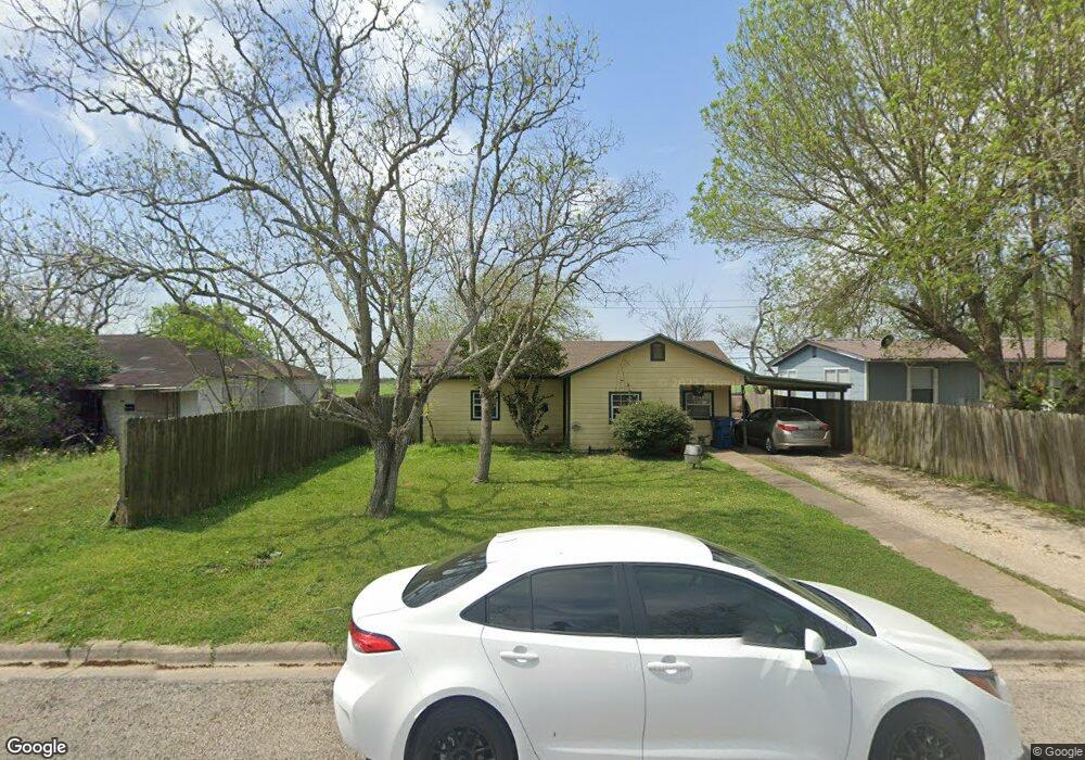
231 Tommy Dr Port Lavaca, TX 77979
Estimated Value: $139,000 - $162,000
--
Bed
--
Bath
1,460
Sq Ft
$103/Sq Ft
Est. Value
About This Home
This home is located at 231 Tommy Dr, Port Lavaca, TX 77979 and is currently estimated at $150,671, approximately $103 per square foot. 231 Tommy Dr is a home located in Calhoun County with nearby schools including Jackson-Roosevelt Elementary School, Travis Middle School, and Calhoun High School.
Ownership History
Date
Name
Owned For
Owner Type
Purchase Details
Closed on
Aug 5, 2021
Sold by
Riojas Susan P
Bought by
Riojas Francisco and Riojas Lucy U
Current Estimated Value
Purchase Details
Closed on
Sep 9, 2005
Sold by
Hunt Michal Lee and Hunt Stacic
Bought by
Riojas Susan P
Home Financials for this Owner
Home Financials are based on the most recent Mortgage that was taken out on this home.
Original Mortgage
$36,500
Outstanding Balance
$19,442
Interest Rate
5.78%
Mortgage Type
New Conventional
Estimated Equity
$131,229
Create a Home Valuation Report for This Property
The Home Valuation Report is an in-depth analysis detailing your home's value as well as a comparison with similar homes in the area
Home Values in the Area
Average Home Value in this Area
Purchase History
| Date | Buyer | Sale Price | Title Company |
|---|---|---|---|
| Riojas Francisco | -- | None Available | |
| Riojas Susan P | -- | -- |
Source: Public Records
Mortgage History
| Date | Status | Borrower | Loan Amount |
|---|---|---|---|
| Open | Riojas Susan P | $36,500 |
Source: Public Records
Tax History Compared to Growth
Tax History
| Year | Tax Paid | Tax Assessment Tax Assessment Total Assessment is a certain percentage of the fair market value that is determined by local assessors to be the total taxable value of land and additions on the property. | Land | Improvement |
|---|---|---|---|---|
| 2024 | $3,210 | $157,830 | $8,500 | $149,330 |
| 2023 | $2,625 | $122,470 | $8,500 | $113,970 |
| 2022 | $1,704 | $72,340 | $4,300 | $68,040 |
| 2021 | $1,780 | $69,650 | $4,300 | $65,350 |
| 2020 | $1,584 | $65,790 | $4,300 | $61,490 |
| 2019 | $1,584 | $61,170 | $4,300 | $56,870 |
| 2018 | $1,584 | $61,170 | $4,300 | $56,870 |
| 2017 | $1,739 | $67,270 | $4,300 | $62,970 |
| 2016 | $1,739 | $67,270 | $4,300 | $62,970 |
| 2015 | -- | $67,270 | $4,300 | $62,970 |
| 2014 | -- | $68,040 | $4,300 | $63,740 |
Source: Public Records
Map
Nearby Homes
- 0 Bauer Dr
- 1601 Meadowview Dr
- 409 S Bauer Dr
- 0 Knipling St
- 1908 W Austin St
- 1705 Holloman Dr
- TBD Holloman Dr
- 50 Catherine St
- 1916 Holloman Dr
- 355 Aquarius Ln
- 00 S Aquarius Ln
- 238 Seadrift St
- 1421 Justice Dr
- 2012 Leon Dr
- 1704 Jackson St
- 311 N Ann St
- Lot 179 Driftwood Shores at Wolf Point
- 15 E 22nd St
- 202 S Virginia St
- TBD Puppy Drum Ln