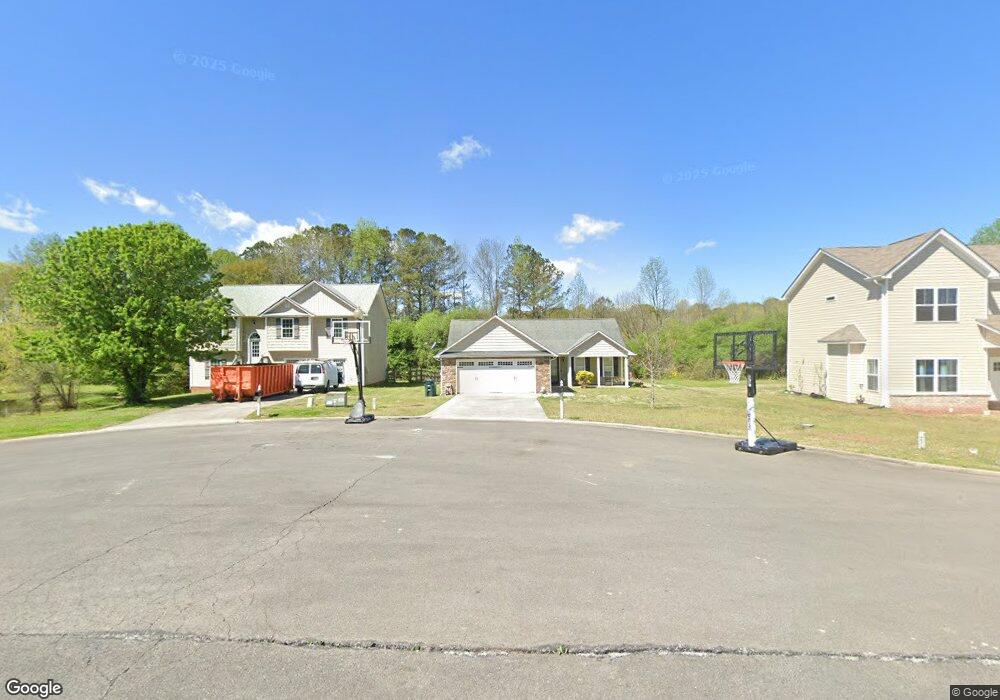
231 Village Way SW Calhoun, GA 30701
Estimated Value: $267,000 - $283,000
--
Bed
2
Baths
1,297
Sq Ft
$210/Sq Ft
Est. Value
About This Home
This home is located at 231 Village Way SW, Calhoun, GA 30701 and is currently estimated at $272,066, approximately $209 per square foot. 231 Village Way SW is a home located in Gordon County with nearby schools including Swain Elementary School, Ashworth Middle School, and Gordon Central High School.
Ownership History
Date
Name
Owned For
Owner Type
Purchase Details
Closed on
Jan 27, 2009
Sold by
Northwest Georgia Residential Group Llc
Bought by
Mcbee Jeffrey C
Current Estimated Value
Home Financials for this Owner
Home Financials are based on the most recent Mortgage that was taken out on this home.
Original Mortgage
$143,877
Outstanding Balance
$90,850
Interest Rate
5.08%
Mortgage Type
New Conventional
Estimated Equity
$181,216
Purchase Details
Closed on
Oct 5, 2007
Sold by
Mcdaniel Flipper
Bought by
Northwest Ga Residential Group Llc
Create a Home Valuation Report for This Property
The Home Valuation Report is an in-depth analysis detailing your home's value as well as a comparison with similar homes in the area
Home Values in the Area
Average Home Value in this Area
Purchase History
| Date | Buyer | Sale Price | Title Company |
|---|---|---|---|
| Mcbee Jeffrey C | $140,000 | -- | |
| Northwest Ga Residential Group Llc | -- | -- |
Source: Public Records
Mortgage History
| Date | Status | Borrower | Loan Amount |
|---|---|---|---|
| Open | Mcbee Jeffrey C | $143,877 |
Source: Public Records
Tax History Compared to Growth
Tax History
| Year | Tax Paid | Tax Assessment Tax Assessment Total Assessment is a certain percentage of the fair market value that is determined by local assessors to be the total taxable value of land and additions on the property. | Land | Improvement |
|---|---|---|---|---|
| 2024 | $1,998 | $80,640 | $6,160 | $74,480 |
| 2023 | $1,866 | $75,440 | $6,160 | $69,280 |
| 2022 | $1,766 | $67,360 | $6,160 | $61,200 |
| 2021 | $1,570 | $58,040 | $6,160 | $51,880 |
| 2020 | $1,622 | $58,600 | $6,160 | $52,440 |
| 2019 | $1,630 | $58,600 | $6,160 | $52,440 |
| 2018 | $1,505 | $54,240 | $6,160 | $48,080 |
| 2017 | $1,469 | $51,560 | $6,160 | $45,400 |
| 2016 | $1,472 | $51,560 | $6,160 | $45,400 |
| 2015 | $1,458 | $50,640 | $6,160 | $44,480 |
| 2014 | $1,329 | $47,640 | $6,160 | $41,480 |
Source: Public Records
Map
Nearby Homes
- 176 Village Way SW
- The Braselton II Plan at Fair Oak
- The Reynolds Plan at Fair Oak
- The Buford II Plan at Fair Oak
- The Lawson Plan at Fair Oak
- The Caldwell Plan at Fair Oak
- The Benson II Plan at Fair Oak
- The Greenbrier II Plan at Fair Oak
- 413 Beamer Rd SW
- 130 Brookstone Dr SW
- 210 Madison Dr SW
- 137 Regency Row SW
- 121 Foxhall Dr SW
- 0 Highway 53 Spur SW Unit 7529096
- 215 Wilson St
- 2108 Roland Hayes Pkwy SW
- 227 Mcconnell Rd
- 0 Reeves Station Rd SW Unit 10548197
- 0 Reeves Station Rd SW Unit 7601645
- 100 Neal St
- 237 Village Way SW
- 225 Village Way SW
- 219 Village Way SW
- 211 Village Way SW
- 232 Village Way SW
- 222 Village Way SW
- 238 Village Way SW
- 203 Village Way SW
- 214 Village Way SW
- 204 Village Way SW
- 211 Lakecrest Cir SW
- 223 Lakecrest Cir SW
- 235 Lakecrest Cir SW
- 189 Lakecrest Cir SW
- 196 Village Way SW
- 000 Lakecrest
- 171 Lakecrest Cir SW Unit 80
- 171 Lakecrest Cir SW
- 188 Village Way SW
- 266 Lakecrest Cir SW