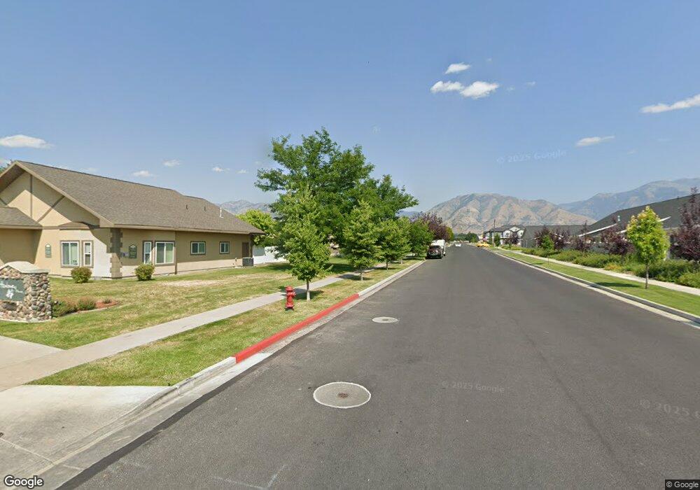
231 W 1600 N Logan, UT 84341
Bridger NeighborhoodEstimated Value: $714,000 - $992,000
Studio
--
Bath
4,954
Sq Ft
$169/Sq Ft
Est. Value
About This Home
This home is located at 231 W 1600 N, Logan, UT 84341 and is currently estimated at $839,000, approximately $169 per square foot. 231 W 1600 N is a home with nearby schools including Bridger School, Mount Logan Middle School, and Logan High School.
Ownership History
Date
Name
Owned For
Owner Type
Purchase Details
Closed on
Feb 25, 2011
Sold by
Thompson Kim P
Bought by
Thompson Robert and Thompson Kim P
Current Estimated Value
Home Financials for this Owner
Home Financials are based on the most recent Mortgage that was taken out on this home.
Original Mortgage
$243,750
Interest Rate
4.67%
Mortgage Type
New Conventional
Purchase Details
Closed on
Jun 17, 2010
Sold by
Thompson Robert
Bought by
Thompson Robert and Thompson Kim P
Create a Home Valuation Report for This Property
The Home Valuation Report is an in-depth analysis detailing your home's value as well as a comparison with similar homes in the area
Home Values in the Area
Average Home Value in this Area
Purchase History
| Date | Buyer | Sale Price | Title Company |
|---|---|---|---|
| Thompson Robert | -- | Hickman Land Title Company | |
| Thompson Kim P | -- | Hickman Land Title Company | |
| Thompson Robert | -- | Hickman Land Title Company |
Source: Public Records
Mortgage History
| Date | Status | Borrower | Loan Amount |
|---|---|---|---|
| Closed | Thompson Kim P | $243,750 |
Source: Public Records
Tax History
| Year | Tax Paid | Tax Assessment Tax Assessment Total Assessment is a certain percentage of the fair market value that is determined by local assessors to be the total taxable value of land and additions on the property. | Land | Improvement |
|---|---|---|---|---|
| 2025 | $2,919 | $686,368 | $135,048 | $551,320 |
| 2024 | $3,014 | $686,368 | $135,048 | $551,320 |
| 2023 | $3,149 | $683,720 | $132,400 | $551,320 |
| 2022 | $3,373 | $683,720 | $132,400 | $551,320 |
| 2021 | $3,678 | $633,600 | $132,400 | $501,200 |
| 2020 | $2,833 | $439,200 | $90,000 | $349,200 |
| 2019 | $2,961 | $439,200 | $90,000 | $349,200 |
| 2018 | $2,786 | $377,270 | $65,000 | $312,270 |
| 2017 | $2,784 | $199,320 | $0 | $0 |
| 2016 | $2,886 | $199,320 | $0 | $0 |
| 2015 | $2,889 | $199,320 | $0 | $0 |
| 2014 | $2,612 | $199,320 | $0 | $0 |
| 2013 | -- | $171,410 | $0 | $0 |
Source: Public Records
Map
Nearby Homes
- 1593 N 160 W Unit 201
- 1555 N 280 W Unit 102
- 49 Kensington Place
- 54 Kensington Place
- 2 Somerset Place
- 1515 N 450 W Unit 103
- 1852 N 340 W
- 519 W 1570 N Unit 103
- 1903 N 300 W
- 1926 Lavender Loop Unit 6
- 2200 N 220 W
- 1492 N 565 W Unit 103
- 490 W 1950 N Unit 27
- 1368 N 590 W
- 723 W 1400 N Unit 3
- 239 E 1530 N
- 253 E 1725 N Unit 2
- 272 E 1725 N Unit 3
- 1030 N 250 W
- 395 E 1530 N
- 211 W 1600 N
- 1633 N 200 W
- 235 W 1580 N Unit 102
- 235 W 1580 N Unit 3-101
- 255 W 1580 N Unit 2-103
- 195 W 1600 N Unit 120
- 1638 N 200 W
- 285 W 1580 N Unit 102
- 1562 N 280 W Unit 101
- 1593 N 160 W Unit 1
- 1593 N 160 W Unit 101
- 1593 N 160 W Unit 102
- 1593 N 160 W Unit 202
- 1593 N 160 W
- 1591 N 160 W Unit 2
- 180 W 1575 N Unit 108
- 180 W 1575 N Unit 107
- 180 W 1575 N Unit 203
- 180 W 1575 N Unit 205
- 180 W 1575 N Unit 206
Your Personal Tour Guide
Ask me questions while you tour the home.