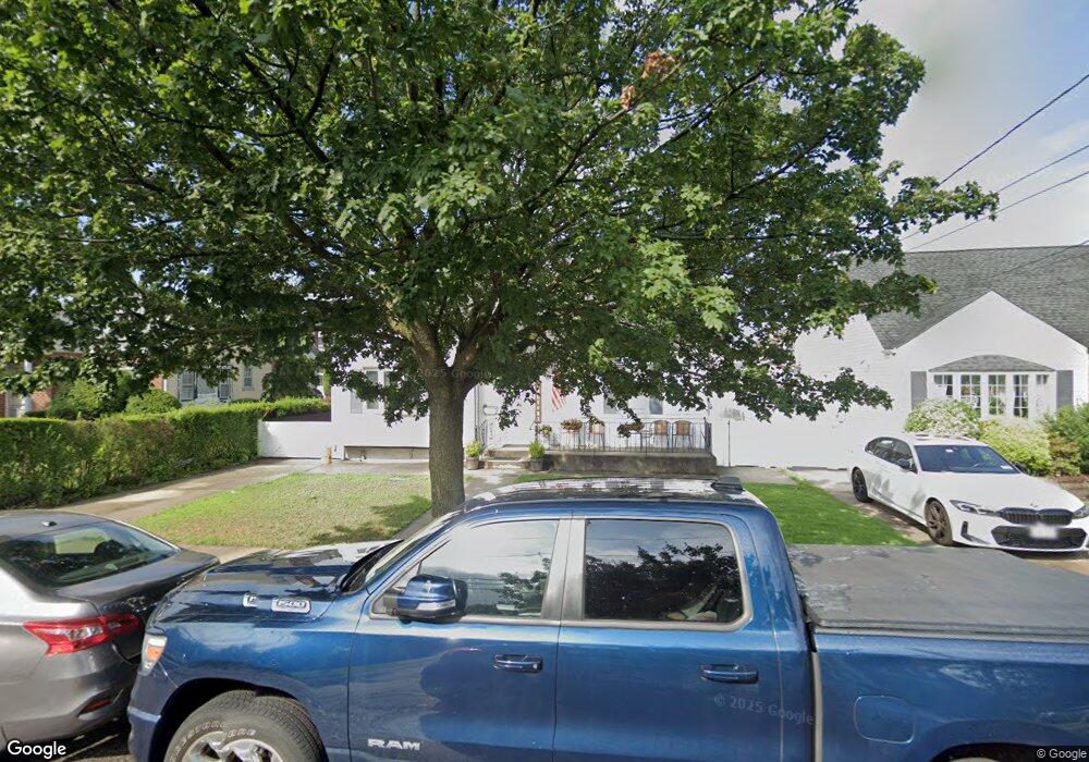
231 White Rd Mineola, NY 11501
Estimated Value: $690,000 - $730,438
--
Bed
1
Bath
1,313
Sq Ft
$541/Sq Ft
Est. Value
About This Home
This home is located at 231 White Rd, Mineola, NY 11501 and is currently estimated at $710,219, approximately $540 per square foot. 231 White Rd is a home located in Nassau County with nearby schools including Jackson Avenue School, Mineola Middle School, and Mineola High School.
Ownership History
Date
Name
Owned For
Owner Type
Purchase Details
Closed on
Jul 29, 2022
Sold by
Bourke Nicholas and Bourke Margaret
Bought by
Bourke Margaret and Bourke Nicholas
Current Estimated Value
Purchase Details
Closed on
Aug 9, 2012
Sold by
Rooney Margaret M
Bought by
Bourke Nicholas and Bourke Margaret
Home Financials for this Owner
Home Financials are based on the most recent Mortgage that was taken out on this home.
Original Mortgage
$140,000
Outstanding Balance
$96,365
Interest Rate
3.61%
Mortgage Type
New Conventional
Estimated Equity
$613,854
Purchase Details
Closed on
Oct 27, 1999
Sold by
Rooney Peter F and Rooney Margaret M
Bought by
Rooney Margaret M
Create a Home Valuation Report for This Property
The Home Valuation Report is an in-depth analysis detailing your home's value as well as a comparison with similar homes in the area
Home Values in the Area
Average Home Value in this Area
Purchase History
| Date | Buyer | Sale Price | Title Company |
|---|---|---|---|
| Bourke Margaret | -- | Judicial Title | |
| Bourke Margaret | -- | Judicial Title | |
| Bourke Margaret | -- | Judicial Title | |
| Bourke Nicholas | $290,000 | -- | |
| Bourke Nicholas | $290,000 | -- | |
| Bourke Nicholas | $290,000 | -- | |
| Bourke Nicholas | $290,000 | -- | |
| Bourke Nicholas | $290,000 | -- | |
| Rooney Margaret M | -- | Commonwealth Land Title Ins | |
| Rooney Margaret M | -- | Commonwealth Land Title Ins |
Source: Public Records
Mortgage History
| Date | Status | Borrower | Loan Amount |
|---|---|---|---|
| Open | Bourke Nicholas | $140,000 | |
| Closed | Bourke Nicholas | $140,000 |
Source: Public Records
Tax History Compared to Growth
Tax History
| Year | Tax Paid | Tax Assessment Tax Assessment Total Assessment is a certain percentage of the fair market value that is determined by local assessors to be the total taxable value of land and additions on the property. | Land | Improvement |
|---|---|---|---|---|
| 2025 | $10,094 | $540 | $286 | $254 |
| 2024 | $2,267 | $540 | $286 | $254 |
| 2023 | $10,127 | $540 | $286 | $254 |
| 2022 | $10,127 | $540 | $286 | $254 |
| 2021 | $10,400 | $538 | $285 | $253 |
| 2020 | $11,029 | $903 | $750 | $153 |
| 2019 | $10,964 | $903 | $750 | $153 |
| 2018 | $10,453 | $903 | $0 | $0 |
| 2017 | $7,249 | $903 | $750 | $153 |
| 2016 | $9,407 | $903 | $750 | $153 |
| 2015 | $2,003 | $903 | $750 | $153 |
| 2014 | $2,003 | $903 | $750 | $153 |
| 2013 | $2,665 | $903 | $750 | $153 |
Source: Public Records
Map
Nearby Homes
- 239 White Rd
- 372 Jackson Ave
- 466 Jefferson Place
- 244 Andrews Rd
- 136 Wardwell Rd
- 360 Foch Blvd
- 62 12th Ave
- 338 Bauer Place
- 96 Millington Place
- 134 Marcellus Rd
- 311 Horton Hwy
- 424 Andrews Rd
- 236 Jackson Ave
- 437 Andrews Rd
- 452 Latham Rd
- 453 Andrews Rd
- 452 MacAtee Place
- 120 Horton Hwy Unit A-12
- 120 Horton Hwy Unit A9
- 120 Horton Hwy Unit . A13