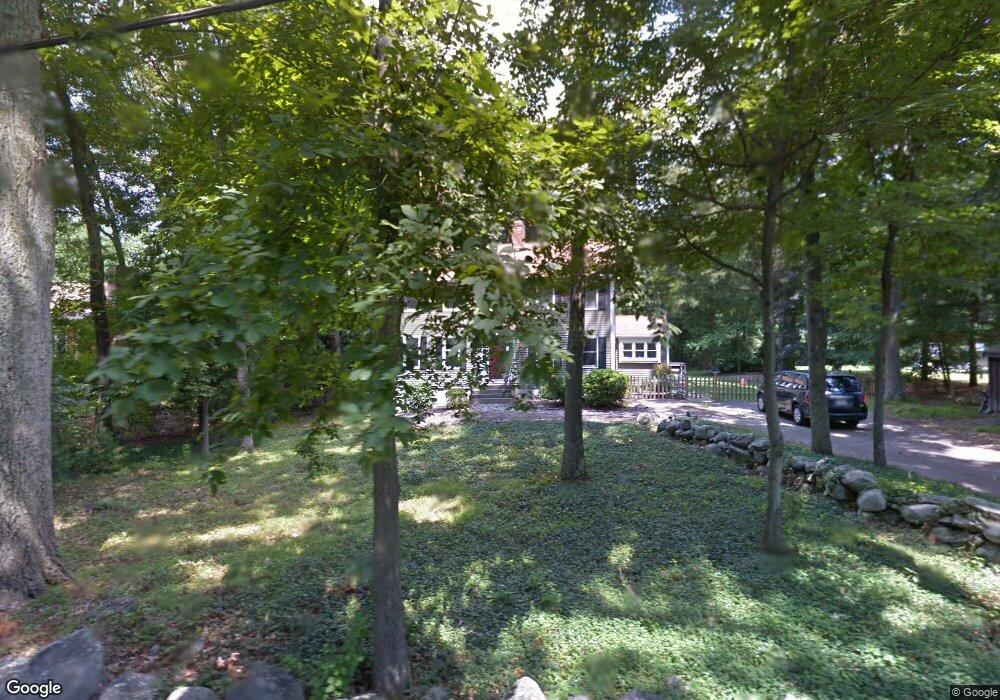
231 Williams St Mansfield, MA 02048
Estimated Value: $734,191 - $841,000
4
Beds
3
Baths
2,128
Sq Ft
$374/Sq Ft
Est. Value
About This Home
This home is located at 231 Williams St, Mansfield, MA 02048 and is currently estimated at $796,798, approximately $374 per square foot. 231 Williams St is a home located in Bristol County with nearby schools including Everett W. Robinson Elementary School, Jordan/Jackson Elementary School, and Harold L. Qualters Middle School.
Ownership History
Date
Name
Owned For
Owner Type
Purchase Details
Closed on
Jun 29, 2006
Sold by
Miller Brent D and Miller Carolyn A
Bought by
Sottak Colleen A and Sottak Timothy J
Current Estimated Value
Home Financials for this Owner
Home Financials are based on the most recent Mortgage that was taken out on this home.
Original Mortgage
$340,000
Outstanding Balance
$201,068
Interest Rate
6.58%
Mortgage Type
Purchase Money Mortgage
Estimated Equity
$595,730
Create a Home Valuation Report for This Property
The Home Valuation Report is an in-depth analysis detailing your home's value as well as a comparison with similar homes in the area
Home Values in the Area
Average Home Value in this Area
Purchase History
| Date | Buyer | Sale Price | Title Company |
|---|---|---|---|
| Sottak Colleen A | $425,000 | -- |
Source: Public Records
Mortgage History
| Date | Status | Borrower | Loan Amount |
|---|---|---|---|
| Open | Sottak Colleen A | $340,000 |
Source: Public Records
Tax History
| Year | Tax Paid | Tax Assessment Tax Assessment Total Assessment is a certain percentage of the fair market value that is determined by local assessors to be the total taxable value of land and additions on the property. | Land | Improvement |
|---|---|---|---|---|
| 2025 | $8,086 | $614,000 | $241,800 | $372,200 |
| 2024 | $7,845 | $581,100 | $241,800 | $339,300 |
| 2023 | $7,586 | $538,400 | $241,800 | $296,600 |
| 2022 | $7,286 | $480,300 | $223,800 | $256,500 |
| 2021 | $2,564 | $473,200 | $196,000 | $277,200 |
| 2020 | $7,010 | $456,400 | $186,600 | $269,800 |
| 2019 | $6,510 | $427,700 | $155,400 | $272,300 |
| 2018 | $6,471 | $415,600 | $148,200 | $267,400 |
| 2017 | $6,070 | $404,100 | $144,000 | $260,100 |
| 2016 | $5,820 | $377,700 | $137,100 | $240,600 |
| 2015 | $5,667 | $365,600 | $137,100 | $228,500 |
Source: Public Records
Map
Nearby Homes
- 128 Tremont St
- 24 Maverick Dr
- 14 Claire Ave
- 150 Gilbert St
- 1769 West St
- 17 Childs Ln
- 25 Shepherd St
- 401 South St
- 2 Oak St Unit 2B
- 9 Coach Rd
- 84 Messenger St
- 25 Munroe Dr
- 40 Treasure Island Rd
- 451R Gilbert St
- 346 South St
- 16 Treasure Island Rd
- 33 Colonial Way
- 166 Chauncy St
- 49 Pheasant Hill Rd
- 115 Westfield Dr
- 245 Williams St
- 217 Williams St
- 203 Williams St
- 255 Williams St
- 214 Williams St
- 230 Williams St
- 206 Williams St
- 189 Williams St
- 265 Williams St
- 190 Williams St
- 256 Williams St
- 175 Williams St
- 268 Williams St
- 180 Williams St
- 3 Nelson Way
- 203 Tremont St
- 197 Tremont St
- 4 Nelson Way
- 209 Tremont St
- 285 Williams St
Your Personal Tour Guide
Ask me questions while you tour the home.