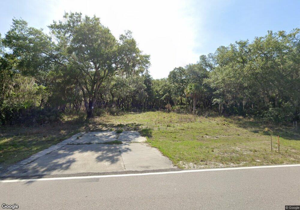
2310 Flamingo Blvd Port Charlotte, FL 33948
Estimated Value: $22,000 - $485,000
--
Bed
2
Baths
1,255
Sq Ft
$150/Sq Ft
Est. Value
About This Home
This home is located at 2310 Flamingo Blvd, Port Charlotte, FL 33948 and is currently estimated at $188,333, approximately $150 per square foot. 2310 Flamingo Blvd is a home located in Charlotte County with nearby schools including Liberty Elementary School, Murdock Middle School, and Port Charlotte High School.
Ownership History
Date
Name
Owned For
Owner Type
Purchase Details
Closed on
Apr 24, 2018
Sold by
Cole Kayla
Bought by
Charlotte County
Current Estimated Value
Purchase Details
Closed on
Oct 17, 2002
Sold by
Cole Richard Allen
Bought by
Cole Rachel B
Purchase Details
Closed on
Mar 10, 1994
Sold by
Housing & Urban Dev
Bought by
Cole Junior and Cole Rachel B
Home Financials for this Owner
Home Financials are based on the most recent Mortgage that was taken out on this home.
Original Mortgage
$28,000
Interest Rate
6.97%
Create a Home Valuation Report for This Property
The Home Valuation Report is an in-depth analysis detailing your home's value as well as a comparison with similar homes in the area
Home Values in the Area
Average Home Value in this Area
Purchase History
| Date | Buyer | Sale Price | Title Company |
|---|---|---|---|
| Charlotte County | -- | Attorney | |
| Cole Rachel B | -- | -- | |
| Cole Junior | $33,100 | -- |
Source: Public Records
Mortgage History
| Date | Status | Borrower | Loan Amount |
|---|---|---|---|
| Previous Owner | Cole Junior | $28,000 |
Source: Public Records
Tax History Compared to Growth
Tax History
| Year | Tax Paid | Tax Assessment Tax Assessment Total Assessment is a certain percentage of the fair market value that is determined by local assessors to be the total taxable value of land and additions on the property. | Land | Improvement |
|---|---|---|---|---|
| 2023 | $0 | $4,731 | $0 | $0 |
| 2022 | $0 | $11,475 | $11,475 | $0 |
| 2021 | $0 | $3,910 | $3,910 | $0 |
| 2020 | $0 | $3,570 | $3,570 | $0 |
| 2019 | $0 | $3,570 | $3,570 | $0 |
| 2018 | $1,750 | $86,588 | $3,825 | $82,763 |
| 2017 | $651 | $33,396 | $0 | $0 |
| 2016 | $644 | $32,709 | $0 | $0 |
| 2015 | $619 | $32,482 | $0 | $0 |
| 2014 | $594 | $32,224 | $0 | $0 |
Source: Public Records
Map
Nearby Homes
- 17067 Banks Ave
- 2477 Hilton St
- 2201 Hilton St
- 17100 Portland Ave
- 17052 Johns Ave
- 17043 Arthur Ave
- 2263 Fernwood St
- 17068 Irving Ave
- 17076 Irving Ave
- 17092 Johns Ave
- 17092 Irving Ave
- 2209 Hilton St
- 16464 Eunic Ave
- 17132 Portland & Wharton Ave
- 16454 Eunic Ave
- 17124 Irving Ave
- 2206 Tea St
- 17073 Baker Ave
- 2311 Hilton St
- 2303 & 2311 Hilton St
- 2303 Hilton St
- 2319 Hilton St
- 2289 Hilton St
- 2327 Hilton St
- 17043 Banks Ave
- 17091 Banks Ave
- 17115 Banks Ave
- 17051 Banks Ave
- 17131 Banks Ave
- 17043 Greenan Ave
- 17044 Greenan Ave NW
- 2279 Hilton St
- 17051 Greenan Ave
- 17059 Greenan Ave NW
- 2255 Hilton St Unit 11
- 2399 Hilton St
- 2359/2367 Hilton St
- 2351 Hilton St
