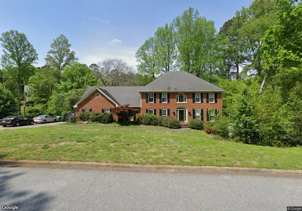
2310 Kimbrough Ct Unit 1 Atlanta, GA 30350
Dunwoody Panhandle NeighborhoodEstimated Value: $879,936 - $1,057,000
5
Beds
5
Baths
3,887
Sq Ft
$248/Sq Ft
Est. Value
About This Home
This home is located at 2310 Kimbrough Ct Unit 1, Atlanta, GA 30350 and is currently estimated at $965,734, approximately $248 per square foot. 2310 Kimbrough Ct Unit 1 is a home located in Fulton County with nearby schools including Dunwoody Springs Elementary School, Sandy Springs Middle School, and North Springs High School.
Ownership History
Date
Name
Owned For
Owner Type
Purchase Details
Closed on
Apr 30, 2001
Sold by
Miller Micheal G and Miller Charmaine R
Bought by
Lew Glen
Current Estimated Value
Home Financials for this Owner
Home Financials are based on the most recent Mortgage that was taken out on this home.
Original Mortgage
$351,900
Outstanding Balance
$130,620
Interest Rate
6.95%
Mortgage Type
New Conventional
Estimated Equity
$835,114
Purchase Details
Closed on
Jul 16, 1998
Sold by
Turner Ann S and Turner Bruce
Bought by
Miller Michael G and Miller Charman
Home Financials for this Owner
Home Financials are based on the most recent Mortgage that was taken out on this home.
Original Mortgage
$296,700
Interest Rate
7.02%
Mortgage Type
New Conventional
Create a Home Valuation Report for This Property
The Home Valuation Report is an in-depth analysis detailing your home's value as well as a comparison with similar homes in the area
Home Values in the Area
Average Home Value in this Area
Purchase History
| Date | Buyer | Sale Price | Title Company |
|---|---|---|---|
| Lew Glen | $439,900 | -- | |
| Miller Michael G | $329,800 | -- |
Source: Public Records
Mortgage History
| Date | Status | Borrower | Loan Amount |
|---|---|---|---|
| Open | Lew Glen | $351,900 | |
| Previous Owner | Miller Michael G | $296,700 |
Source: Public Records
Tax History Compared to Growth
Tax History
| Year | Tax Paid | Tax Assessment Tax Assessment Total Assessment is a certain percentage of the fair market value that is determined by local assessors to be the total taxable value of land and additions on the property. | Land | Improvement |
|---|---|---|---|---|
| 2025 | $2,835 | $289,080 | $57,960 | $231,120 |
| 2023 | $8,126 | $287,880 | $54,200 | $233,680 |
| 2022 | $2,806 | $286,440 | $76,640 | $209,800 |
| 2021 | $2,752 | $278,080 | $74,400 | $203,680 |
| 2020 | $2,740 | $269,520 | $49,560 | $219,960 |
| 2019 | $7,473 | $264,760 | $48,680 | $216,080 |
| 2018 | $3,156 | $231,320 | $34,640 | $196,680 |
| 2017 | $5,955 | $196,000 | $33,320 | $162,680 |
| 2016 | $6,226 | $196,000 | $33,320 | $162,680 |
| 2015 | $6,238 | $196,000 | $33,320 | $162,680 |
| 2014 | $6,210 | $222,440 | $33,320 | $189,120 |
Source: Public Records
Map
Nearby Homes
- 5352 Waterford Dr
- 2381 Briarleigh Way
- 1655 Redbourne Dr
- 5264 Brooke Ridge Dr
- 355 Aldenshire Place
- 7695 Brigham Dr
- 4641 Brunning Ct
- 5284 Brookelake Dr
- 7640 Ryefield Dr
- 5318 Brooke Farm Dr
- 2293 Littlebrooke Trace
- 130 Belvedere Ct
- 5201 Brooke Farm Dr
- 7700 Wickley Way
- 5513 N Peachtree Rd
- 7410 Chestwick Ct
- 7790 Stables Dr
- 7510 Brigham Dr
- 2320 Kimbrough Ct Unit 1
- 2300 Kimbrough Ct Unit 1
- 7500 Brigham Dr Unit 3
- 0 Kimbrough Ct Unit 8312225
- 0 Kimbrough Ct Unit 8599499
- 0 Kimbrough Ct Unit 7223119
- 0 Kimbrough Ct Unit 7238989
- 0 Kimbrough Ct Unit 7250857
- 0 Kimbrough Ct Unit 7312608
- 7540 Brigham Dr
- 2305 Kimbrough Ct
- 2330 Kimbrough Ct
- 2330 Kimbrough Ct Unit 134
- 7550 Brigham Dr
- 7485 Brigham Dr Unit 3
- 7495 Brigham Dr Unit 3
- 2315 Kimbrough Ct Unit 1
- 7475 Brigham Dr
- 7525 Brigham Dr Unit 1