2310 Popo Agie Dr Unit Sweetwater Drive Rock Springs, WY 82901
Estimated Value: $212,000 - $558,000
4
Beds
3
Baths
3,976
Sq Ft
$117/Sq Ft
Est. Value
About This Home
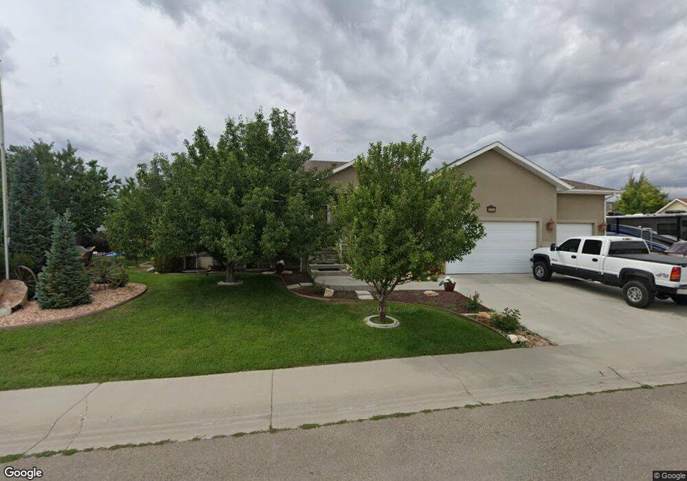
This home is located at 2310 Popo Agie Dr Unit Sweetwater Drive, Rock Springs, WY 82901 and is currently estimated at $464,567, approximately $116 per square foot. 2310 Popo Agie Dr Unit Sweetwater Drive is a home located in Sweetwater County with nearby schools including Sage Elementary School, Rock Springs Junior High School, and Rock Springs High School.
Ownership History
Date
Name
Owned For
Owner Type
Purchase Details
Closed on
Oct 16, 2020
Sold by
Steinaker Debra C
Bought by
Bingham Dustin F and Romango Jaden R
Current Estimated Value
Home Financials for this Owner
Home Financials are based on the most recent Mortgage that was taken out on this home.
Original Mortgage
$400,900
Outstanding Balance
$356,579
Interest Rate
2.9%
Mortgage Type
New Conventional
Estimated Equity
$107,988
Create a Home Valuation Report for This Property
The Home Valuation Report is an in-depth analysis detailing your home's value as well as a comparison with similar homes in the area
Home Values in the Area
Average Home Value in this Area
Purchase History
| Date | Buyer | Sale Price | Title Company |
|---|---|---|---|
| Bingham Dustin F | $501,125 | -- | |
| Bingham Dustin F | -- | None Listed On Document | |
| Bingham Dustin F | -- | None Listed On Document |
Source: Public Records
Mortgage History
| Date | Status | Borrower | Loan Amount |
|---|---|---|---|
| Open | Bingham Dustin F | $400,900 | |
| Closed | Bingham Dustin F | $400,900 |
Source: Public Records
Tax History Compared to Growth
Tax History
| Year | Tax Paid | Tax Assessment Tax Assessment Total Assessment is a certain percentage of the fair market value that is determined by local assessors to be the total taxable value of land and additions on the property. | Land | Improvement |
|---|---|---|---|---|
| 2025 | $3,450 | $34,740 | $3,563 | $31,177 |
| 2024 | $3,450 | $46,659 | $4,750 | $41,909 |
| 2023 | $3,303 | $45,617 | $4,750 | $40,867 |
| 2022 | $3,002 | $41,088 | $4,750 | $36,338 |
| 2021 | $2,825 | $38,561 | $4,750 | $33,811 |
| 2020 | $2,777 | $37,951 | $4,750 | $33,201 |
| 2019 | $2,731 | $37,602 | $4,750 | $32,852 |
| 2018 | $2,640 | $36,274 | $4,750 | $31,524 |
| 2017 | $2,642 | $36,145 | $4,750 | $31,395 |
| 2015 | -- | $35,343 | $0 | $0 |
| 2014 | -- | $34,626 | $0 | $0 |
Source: Public Records
Map
Nearby Homes
- 314 Tamarack Dr
- 3126 Cache Valley Dr
- 612 Central St
- 517 Archers Trail
- 1012 Palomino St
- 516 Oak Creek Dr
- 210 Mountain Rd
- 2308 Victor Rd
- 3501b Cleveland Dr
- 2794 Foothill Blvd
- 1050 Truman St
- 3406 Madison Dr
- 911 Laramie St
- 913 Rosewood Dr
- 916 Peachwood Dr
- 920 Laramie St
- 3408 Homestead Ave
- 1010 Winchester Blvd
- 3424 Darlington Ave
- 212 Taylor St
- 2310 Popo Agie Dr
- 2610 Little Sandy Dr
- 2238 Popo Agie Dr
- 2311 Popo Agie Dr
- 2601 Little Sandy Dr
- 2616 Little Sandy Dr
- 2321 Popo Agie Dr
- 2321 Popo Agie Dr Unit Little Sandy Drive
- 2609 Little Sandy Dr
- 2232 Popo Agie Dr
- 2615 Little Sandy Dr
- 2615 Little Sandy Dr Unit Popo Agie
- 2401 Popo Agie Dr
- 1011 Arrowhead Cir
- 1107 View St
- 1021 Arrowhead Cir
- 2602 Cache Valley Dr
- 2624 Little Sandy Dr
- 200 Tamarack Dr
- 200 Tamarack Dr Unit Cache Valley