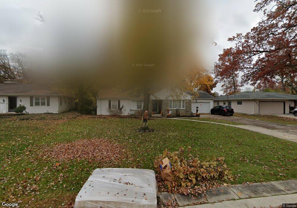
2310 Springfield Ave Fort Wayne, IN 46805
Frances Slocum NeighborhoodEstimated Value: $203,000 - $239,000
4
Beds
1
Bath
1,610
Sq Ft
$134/Sq Ft
Est. Value
About This Home
This home is located at 2310 Springfield Ave, Fort Wayne, IN 46805 and is currently estimated at $215,559, approximately $133 per square foot. 2310 Springfield Ave is a home located in Allen County with nearby schools including Forest Park Elementary School, Lakeside Middle School, and North Side High School.
Ownership History
Date
Name
Owned For
Owner Type
Purchase Details
Closed on
Sep 17, 2008
Sold by
Roehm Robert E and Roehm Martha D
Bought by
Arrow Drive Property Holdings Llc
Current Estimated Value
Purchase Details
Closed on
Nov 8, 2007
Sold by
Parkison Debra Ann
Bought by
Roehm Robert E and Roehm Martha D
Home Financials for this Owner
Home Financials are based on the most recent Mortgage that was taken out on this home.
Original Mortgage
$106,000
Interest Rate
6.44%
Mortgage Type
Purchase Money Mortgage
Create a Home Valuation Report for This Property
The Home Valuation Report is an in-depth analysis detailing your home's value as well as a comparison with similar homes in the area
Home Values in the Area
Average Home Value in this Area
Purchase History
| Date | Buyer | Sale Price | Title Company |
|---|---|---|---|
| Arrow Drive Property Holdings Llc | -- | None Available | |
| Roehm Robert E | -- | None Available |
Source: Public Records
Mortgage History
| Date | Status | Borrower | Loan Amount |
|---|---|---|---|
| Previous Owner | Roehm Robert E | $106,000 |
Source: Public Records
Tax History Compared to Growth
Tax History
| Year | Tax Paid | Tax Assessment Tax Assessment Total Assessment is a certain percentage of the fair market value that is determined by local assessors to be the total taxable value of land and additions on the property. | Land | Improvement |
|---|---|---|---|---|
| 2024 | $3,276 | $146,500 | $15,000 | $131,500 |
| 2022 | $2,594 | $115,400 | $14,100 | $101,300 |
| 2021 | $2,181 | $97,400 | $13,300 | $84,100 |
| 2020 | $2,053 | $93,800 | $14,200 | $79,600 |
| 2019 | $1,831 | $84,100 | $13,400 | $70,700 |
| 2018 | $1,666 | $76,000 | $12,400 | $63,600 |
| 2017 | $1,664 | $75,200 | $14,900 | $60,300 |
| 2016 | $1,637 | $75,100 | $14,700 | $60,400 |
| 2014 | $1,555 | $74,800 | $16,700 | $58,100 |
| 2013 | $1,524 | $73,400 | $17,000 | $56,400 |
Source: Public Records
Map
Nearby Homes
- 3440 Rolston St
- 2029 Glenwood Ave
- 2520 Glenwood Ave
- 2817 Whitegate Dr
- 2021 Kenwood Ave
- 1903 Glenwood Ave
- 1909 Kenwood Ave
- 2517 Charlotte Ave
- 2402 Charlotte Ave
- 1928 Lawndale Dr
- 2717 Clara Ave
- 2435 Dodge Ave
- 2521 Dodge Ave
- 1519 Glenwood Ave
- 2510 Dodge Ave
- 2517 N Anthony Blvd
- 2601 Lynn Ave
- 3020 White Oak Ave
- 1309 Somerset Ln
- 2520 Lynn Ave
- 2304 Springfield Ave
- 2320 Springfield Ave
- 2224 Springfield Ave
- 2307 Springfield Ave
- 2315 Springfield Ave
- 2402 Springfield Ave
- 2210 Springfield Ave
- 2401 Springfield Ave
- 2225 Springfield Ave
- 2215 Springfield Ave
- 2405 Springfield Ave
- 2207 Springfield Ave
- 2206 Springfield Ave
- 2409 Springfield Ave
- 2201 Springfield Ave
- 3510 Kirkwood Cir
- 3520 Kirkwood Cir
- 2140 Springfield Ave
- 3422 Kirkwood Dr
- 2425 Springfield Ave