Estimated Value: $190,000 - $301,000
3
Beds
1
Bath
1,300
Sq Ft
$175/Sq Ft
Est. Value
About This Home
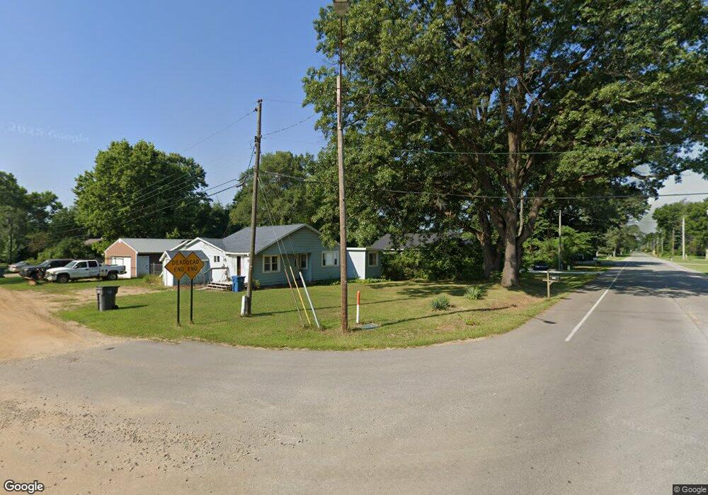
This home is located at 2310 W Olive Branch Rd, Niles, MI 49120 and is currently estimated at $227,467, approximately $174 per square foot. 2310 W Olive Branch Rd is a home located in Berrien County with nearby schools including River Valley Middle/High School.
Ownership History
Date
Name
Owned For
Owner Type
Purchase Details
Closed on
Dec 23, 2020
Sold by
Rubin Richard E
Bought by
Aranda Mario J
Current Estimated Value
Purchase Details
Closed on
Mar 29, 2012
Sold by
Kronenberg Heidi
Bought by
Rubin Richard E
Purchase Details
Closed on
Feb 11, 2005
Sold by
Troglio Susan M
Bought by
Kronenberg Heidi
Home Financials for this Owner
Home Financials are based on the most recent Mortgage that was taken out on this home.
Original Mortgage
$105,600
Interest Rate
5.78%
Mortgage Type
Purchase Money Mortgage
Purchase Details
Closed on
Nov 30, 1999
Purchase Details
Closed on
Nov 23, 1998
Purchase Details
Closed on
Jun 1, 1998
Purchase Details
Closed on
Jan 29, 1991
Create a Home Valuation Report for This Property
The Home Valuation Report is an in-depth analysis detailing your home's value as well as a comparison with similar homes in the area
Home Values in the Area
Average Home Value in this Area
Purchase History
| Date | Buyer | Sale Price | Title Company |
|---|---|---|---|
| Aranda Mario J | $137,000 | Chicago Title Of Mi Inc | |
| Rubin Richard E | -- | Chicago Title Of Michigan | |
| Kronenberg Heidi | $132,000 | Meridian Title Corp | |
| -- | $100 | -- | |
| -- | $25,000 | -- | |
| -- | $10,000 | -- | |
| -- | -- | -- |
Source: Public Records
Mortgage History
| Date | Status | Borrower | Loan Amount |
|---|---|---|---|
| Previous Owner | Kronenberg Heidi | $105,600 |
Source: Public Records
Tax History Compared to Growth
Tax History
| Year | Tax Paid | Tax Assessment Tax Assessment Total Assessment is a certain percentage of the fair market value that is determined by local assessors to be the total taxable value of land and additions on the property. | Land | Improvement |
|---|---|---|---|---|
| 2025 | $1,650 | $64,300 | $0 | $0 |
| 2024 | $421 | $49,000 | $0 | $0 |
| 2023 | $401 | $39,500 | $0 | $0 |
| 2022 | $382 | $35,900 | $0 | $0 |
| 2021 | $1,389 | $34,000 | $8,000 | $26,000 |
| 2020 | $541 | $30,000 | $0 | $0 |
| 2019 | $489 | $27,400 | $5,700 | $21,700 |
| 2018 | $495 | $27,400 | $0 | $0 |
| 2017 | $485 | $27,553 | $0 | $0 |
| 2016 | $860 | $24,989 | $0 | $0 |
| 2015 | $438 | $21,328 | $0 | $0 |
| 2014 | $259 | $24,167 | $0 | $0 |
Source: Public Records
Map
Nearby Homes
- 19196 Cleveland Ave
- 33260 State Line Rd
- 2046 US Highway 12
- Lot 5 Railroad St
- 122 N Cleveland Ave
- 4318 Olive Branch Rd
- 301 N Grant St
- 311 George St
- 0 Mount Zion Rd
- 6475 Olive Branch Rd
- 0 Trail Unit 202444357
- 32670 Chicago Trail
- 6484 E 1000 N
- 8101 N Laporte Blvd
- 7838 N Walker Rd
- 0 E Pansy Ln
- 0 N Holling Blvd Unit NRA816189
- 0 Pansy Ln Unit NRA819907
- 5563 Spring Creek Rd
- 55330 Timothy Rd
- 2310 Olive Branch Rd
- 2354 Olive Branch Rd
- 2261 Olive Branch Rd
- 2228 Olive Branch Rd
- 2453 Olive Branch Rd
- 2209 Olive Branch Rd
- 999 Olive Branch Rd
- 3173 Olive Branch Rd
- 2131 Olive Branch Rd
- 19290 Rickerman Rd
- 2107 Olive Branch Rd
- 2555 Olive Branch Rd
- 2074 Olive Branch Rd
- 2050 Olive Branch Rd
- 2015 Olive Branch Rd
- 1979 Olive Branch Rd
- 1922 Olive Branch Rd
- 1923 Olive Branch Rd
- 0 Cleveland Ave
- 19406 Cleveland Ave