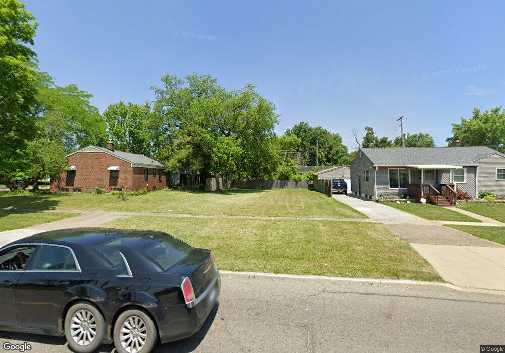
2310 W Stewart Ave Flint, MI 48504
Bel-Aire Woods NeighborhoodEstimated Value: $17,000 - $54,000
3
Beds
1
Bath
1,445
Sq Ft
$26/Sq Ft
Est. Value
About This Home
This home is located at 2310 W Stewart Ave, Flint, MI 48504 and is currently estimated at $37,000, approximately $25 per square foot. 2310 W Stewart Ave is a home located in Genesee County with nearby schools including Brownell STEM Academy, Eagle's Nest Academy, and Greater Heights Academy.
Ownership History
Date
Name
Owned For
Owner Type
Purchase Details
Closed on
Dec 21, 2011
Sold by
Genesee County Treasurer
Bought by
Genesee County Land Bank
Current Estimated Value
Purchase Details
Closed on
May 27, 2009
Sold by
Creative Properties
Bought by
Gilot Farrah
Purchase Details
Closed on
Nov 21, 2008
Sold by
Kildee Daniel T
Bought by
Creative Properties
Purchase Details
Closed on
Apr 26, 2001
Sold by
Hudson Larry D and Hudson Yumeika T
Bought by
Hudson Larry D and Hudson Yumeika T
Create a Home Valuation Report for This Property
The Home Valuation Report is an in-depth analysis detailing your home's value as well as a comparison with similar homes in the area
Home Values in the Area
Average Home Value in this Area
Purchase History
| Date | Buyer | Sale Price | Title Company |
|---|---|---|---|
| Genesee County Land Bank | -- | None Available | |
| Gilot Farrah | $1,224 | None Available | |
| Creative Properties | $750 | None Available | |
| Hudson Larry D | -- | Cislo Title Company |
Source: Public Records
Tax History Compared to Growth
Tax History
| Year | Tax Paid | Tax Assessment Tax Assessment Total Assessment is a certain percentage of the fair market value that is determined by local assessors to be the total taxable value of land and additions on the property. | Land | Improvement |
|---|---|---|---|---|
| 2025 | $142 | $2,300 | $0 | $0 |
| 2024 | $132 | $2,300 | $0 | $0 |
| 2023 | $139 | $2,600 | $0 | $0 |
| 2022 | $0 | $1,600 | $0 | $0 |
| 2021 | $172 | $1,400 | $0 | $0 |
| 2020 | $162 | $1,300 | $0 | $0 |
| 2019 | $183 | $1,600 | $0 | $0 |
| 2018 | $153 | $1,600 | $0 | $0 |
| 2017 | $0 | $0 | $0 | $0 |
| 2016 | $0 | $0 | $0 | $0 |
| 2015 | -- | $0 | $0 | $0 |
| 2014 | -- | $0 | $0 | $0 |
| 2012 | -- | $0 | $0 | $0 |
Source: Public Records
Map
Nearby Homes
- 2118 Santa Barbara Dr
- 3330 Maywood Dr
- 1913 Cherrylawn Dr
- 3819 Brownell Blvd
- 3617 Kellar Ave
- 5106 Cloverlawn Dr
- 3084 Roanoke St
- 3145 Raywood St
- 3412 Comstock Ave
- 3420 Fleming Rd
- 1705 W Pasadena Ave
- 3722 Sterling St
- 1720 Marlowe Dr
- 1902 Marlowe Dr
- 5616 Griggs Dr
- 5620 Marlowe Dr
- 4515 Baldwin Blvd
- 3802 Milbourne Ave
- 4006 Donnelly St
- 2907 Trumbull Ave
- 2306 W Stewart Ave
- 4302 Wisner St
- 2302 W Stewart Ave
- 2331 Santa Barbara Dr
- 4312 Wisner St
- 2327 Santa Barbara Dr
- 2218 W Stewart Ave
- 2323 Santa Barbara Dr
- 2307 W Stewart Ave
- 4301 Wisner St
- 4236 Wisner St
- 4233 Seneca St
- 2214 W Stewart Ave
- 4315 Wisner St
- 2319 Santa Barbara Dr
- 2408 W Stewart Ave
- 4311 Wisner St
- 2210 W Stewart Ave
- 4226 Wisner St
- 2334 Santa Barbara Dr