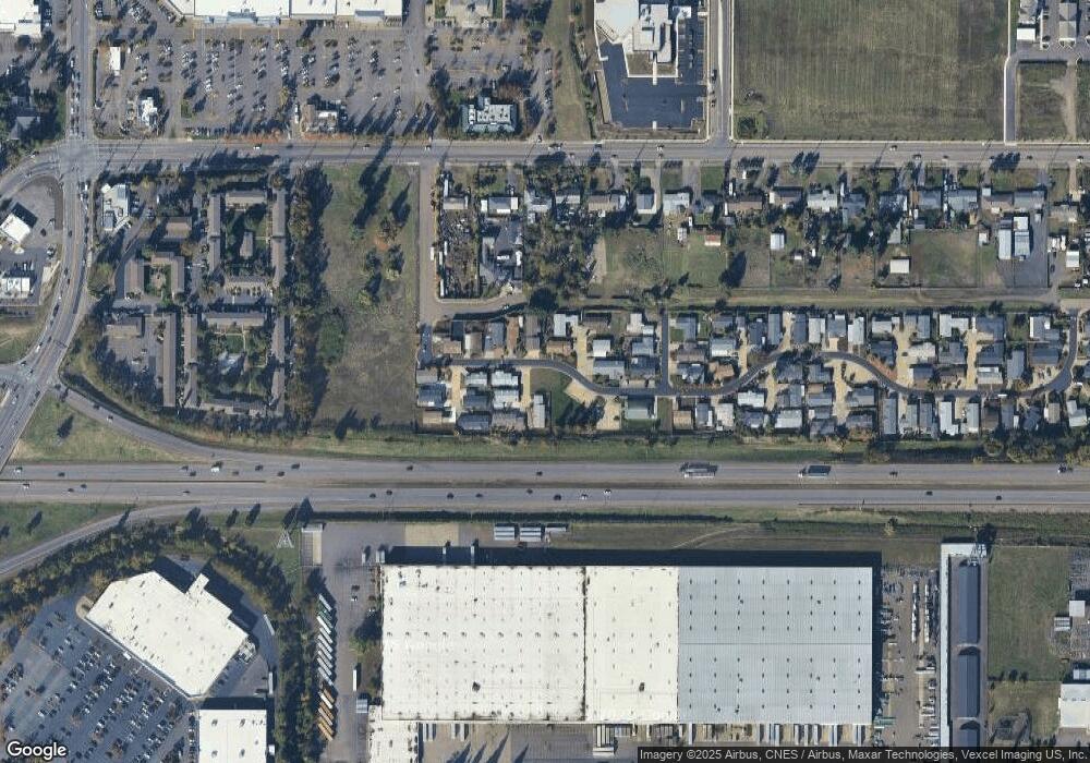
2311 Maia Loop Springfield, OR 97477
North Springfield NeighborhoodEstimated Value: $112,979 - $470,000
Studio
--
Bath
--
Sq Ft
6,098
Sq Ft Lot
About This Home
This home is located at 2311 Maia Loop, Springfield, OR 97477 and is currently estimated at $308,245. 2311 Maia Loop is a home located in Lane County with nearby schools including Yolanda Elementary School, Briggs Middle School, and Thurston High School.
Ownership History
Date
Name
Owned For
Owner Type
Purchase Details
Closed on
Feb 15, 2016
Sold by
Harlow George R and Harlow Artie Mae
Bought by
Gray Robert E and Gray Carol A
Current Estimated Value
Home Financials for this Owner
Home Financials are based on the most recent Mortgage that was taken out on this home.
Original Mortgage
$5,000
Interest Rate
3.97%
Mortgage Type
Seller Take Back
Purchase Details
Closed on
Oct 23, 2002
Sold by
Maia Llc
Bought by
Harlow George R and Harlow Artie Mae
Create a Home Valuation Report for This Property
The Home Valuation Report is an in-depth analysis detailing your home's value as well as a comparison with similar homes in the area
Home Values in the Area
Average Home Value in this Area
Purchase History
| Date | Buyer | Sale Price | Title Company |
|---|---|---|---|
| Gray Robert E | $54,500 | Evergreen Land Title Company | |
| Harlow George R | -- | Western Pioneer Title Co |
Source: Public Records
Mortgage History
| Date | Status | Borrower | Loan Amount |
|---|---|---|---|
| Closed | Gray Robert E | $5,000 |
Source: Public Records
Tax History
| Year | Tax Paid | Tax Assessment Tax Assessment Total Assessment is a certain percentage of the fair market value that is determined by local assessors to be the total taxable value of land and additions on the property. | Land | Improvement |
|---|---|---|---|---|
| 2025 | $866 | $47,250 | -- | -- |
| 2024 | $852 | $45,874 | -- | -- |
| 2023 | $852 | $44,538 | $0 | $0 |
| 2022 | $789 | $43,241 | $0 | $0 |
| 2021 | $773 | $41,982 | $0 | $0 |
| 2020 | $719 | $40,759 | $0 | $0 |
| 2019 | $718 | $40,759 | $0 | $0 |
| 2018 | $697 | $40,759 | $0 | $0 |
| 2017 | $701 | $40,759 | $0 | $0 |
| 2016 | $655 | $37,768 | $0 | $0 |
| 2015 | $605 | $35,150 | $0 | $0 |
| 2014 | $607 | $34,776 | $0 | $0 |
Source: Public Records
Map
Nearby Homes
Your Personal Tour Guide
Ask me questions while you tour the home.