Estimated Value: $842,697 - $981,000
5
Beds
4
Baths
3,843
Sq Ft
$232/Sq Ft
Est. Value
About This Home
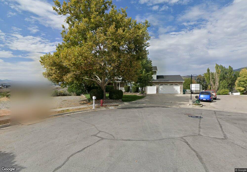
This home is located at 2311 N 850 E, Lehi, UT 84043 and is currently estimated at $893,232, approximately $232 per square foot. 2311 N 850 E is a home located in Utah County with nearby schools including Freedom Elementary School, Lehi Junior High School, and Skyridge High School.
Ownership History
Date
Name
Owned For
Owner Type
Purchase Details
Closed on
Oct 25, 2018
Sold by
Pronghorn Properties Llc
Bought by
Arthur Kevin C and Arthur Brindee A
Current Estimated Value
Home Financials for this Owner
Home Financials are based on the most recent Mortgage that was taken out on this home.
Original Mortgage
$451,250
Outstanding Balance
$395,153
Interest Rate
4.6%
Mortgage Type
New Conventional
Estimated Equity
$498,079
Purchase Details
Closed on
Feb 15, 2017
Sold by
Mathews Shannon Dale and Mathews Colette C
Bought by
Pronghorn Properties Llc
Purchase Details
Closed on
Mar 10, 2000
Sold by
Patterson Construction Inc
Bought by
Mathews Shannon Dale and Mathews Colette C
Purchase Details
Closed on
Jul 23, 1998
Sold by
Mathews Shannon Dale and Mathews Colette C
Bought by
Mathews Shannon Dale
Home Financials for this Owner
Home Financials are based on the most recent Mortgage that was taken out on this home.
Original Mortgage
$228,000
Interest Rate
6.9%
Create a Home Valuation Report for This Property
The Home Valuation Report is an in-depth analysis detailing your home's value as well as a comparison with similar homes in the area
Home Values in the Area
Average Home Value in this Area
Purchase History
| Date | Buyer | Sale Price | Title Company |
|---|---|---|---|
| Arthur Kevin C | -- | Gt Title Services | |
| Pronghorn Properties Llc | $120,000 | Accommodation | |
| Mathews Shannon Dale | -- | First American Title Co | |
| Mathews Shannon Dale | -- | -- |
Source: Public Records
Mortgage History
| Date | Status | Borrower | Loan Amount |
|---|---|---|---|
| Open | Arthur Kevin C | $451,250 | |
| Previous Owner | Mathews Shannon Dale | $228,000 |
Source: Public Records
Tax History
| Year | Tax Paid | Tax Assessment Tax Assessment Total Assessment is a certain percentage of the fair market value that is determined by local assessors to be the total taxable value of land and additions on the property. | Land | Improvement |
|---|---|---|---|---|
| 2025 | $3,285 | $442,805 | -- | -- |
| 2024 | $3,285 | $384,450 | $0 | $0 |
| 2023 | $3,099 | $393,745 | $0 | $0 |
| 2022 | $3,303 | $406,890 | $0 | $0 |
| 2021 | $2,994 | $557,500 | $149,300 | $408,200 |
| 2020 | $2,823 | $519,700 | $138,200 | $381,500 |
| 2019 | $2,716 | $519,700 | $138,200 | $381,500 |
| 2018 | $2,839 | $513,700 | $132,200 | $381,500 |
| 2017 | $2,531 | $243,430 | $0 | $0 |
| 2016 | $2,356 | $210,210 | $0 | $0 |
| 2015 | $2,465 | $208,835 | $0 | $0 |
| 2014 | -- | $187,275 | $0 | $0 |
Source: Public Records
Map
Nearby Homes
- 4233 N 325 E Unit 1415
- 975 E 2850 N
- 2539 N 300 E
- 10365 N 6960 W
- 878 E 3050 N
- 352 E 1650 N
- 6756 W 10050 N
- 1370 N Cedar Hollow Blvd
- 3239 N 620 E
- 2139 N Banbury Ct
- 532 E 3270 N
- 3368 N 700 E
- 9967 N 6670 W
- 1272 N Cedar Hollow Blvd
- 565 E 3375 N
- 687 E 3420 N
- 1602 E Center Pointe Dr
- 1610 E Center Pointe Dr
- 1618 E Center Pointe Dr
- 1117 N Cedar Hollow Blvd
Your Personal Tour Guide
Ask me questions while you tour the home.