2313 Highway 82 Statham, GA 30666
Estimated Value: $1,357,000 - $1,980,194
4
Beds
3
Baths
7,223
Sq Ft
$242/Sq Ft
Est. Value
About This Home
This home is located at 2313 Highway 82, Statham, GA 30666 and is currently estimated at $1,749,398, approximately $242 per square foot. 2313 Highway 82 is a home located in Barrow County with nearby schools including Statham Elementary School, Bear Creek Middle School, and Winder-Barrow High School.
Ownership History
Date
Name
Owned For
Owner Type
Purchase Details
Closed on
May 23, 2018
Sold by
Hershberger Jeremy
Bought by
2313 Land Llc
Current Estimated Value
Purchase Details
Closed on
Sep 9, 2016
Sold by
Joan Elaine
Bought by
Hershberger Jeremy
Purchase Details
Closed on
Nov 18, 2014
Sold by
Almond Jerroll W
Bought by
Almond Joan Elaine
Purchase Details
Closed on
Jan 29, 1998
Sold by
Rives Farms Ltd
Bought by
Almond Jerrol W and Almond Joan E
Create a Home Valuation Report for This Property
The Home Valuation Report is an in-depth analysis detailing your home's value as well as a comparison with similar homes in the area
Home Values in the Area
Average Home Value in this Area
Purchase History
| Date | Buyer | Sale Price | Title Company |
|---|---|---|---|
| 2313 Land Llc | -- | -- | |
| Hershberger Jeremy | $600,000 | -- | |
| Almond Tim | -- | -- | |
| Almond Jeffrey W | -- | -- | |
| Almond Joan Elaine | -- | -- | |
| Almond Jerrol W | $1,249,100 | -- | |
| Rives Farms Ltd | -- | -- |
Source: Public Records
Tax History Compared to Growth
Tax History
| Year | Tax Paid | Tax Assessment Tax Assessment Total Assessment is a certain percentage of the fair market value that is determined by local assessors to be the total taxable value of land and additions on the property. | Land | Improvement |
|---|---|---|---|---|
| 2024 | $8,026 | $602,105 | $335,333 | $266,772 |
| 2023 | $7,946 | $602,105 | $335,333 | $266,772 |
| 2022 | $6,988 | $523,309 | $335,333 | $187,976 |
| 2021 | $6,912 | $468,812 | $295,056 | $173,756 |
| 2020 | $6,468 | $454,592 | $295,056 | $159,536 |
| 2019 | $6,548 | $454,592 | $295,056 | $159,536 |
| 2018 | $6,464 | $454,592 | $295,056 | $159,536 |
| 2017 | $12,902 | $443,141 | $295,056 | $148,085 |
| 2016 | $5,004 | $441,860 | $324,274 | $117,586 |
| 2015 | $4,740 | $441,860 | $324,274 | $117,586 |
| 2014 | $4,797 | $321,879 | $204,293 | $117,586 |
| 2013 | -- | $311,854 | $204,292 | $107,561 |
Source: Public Records
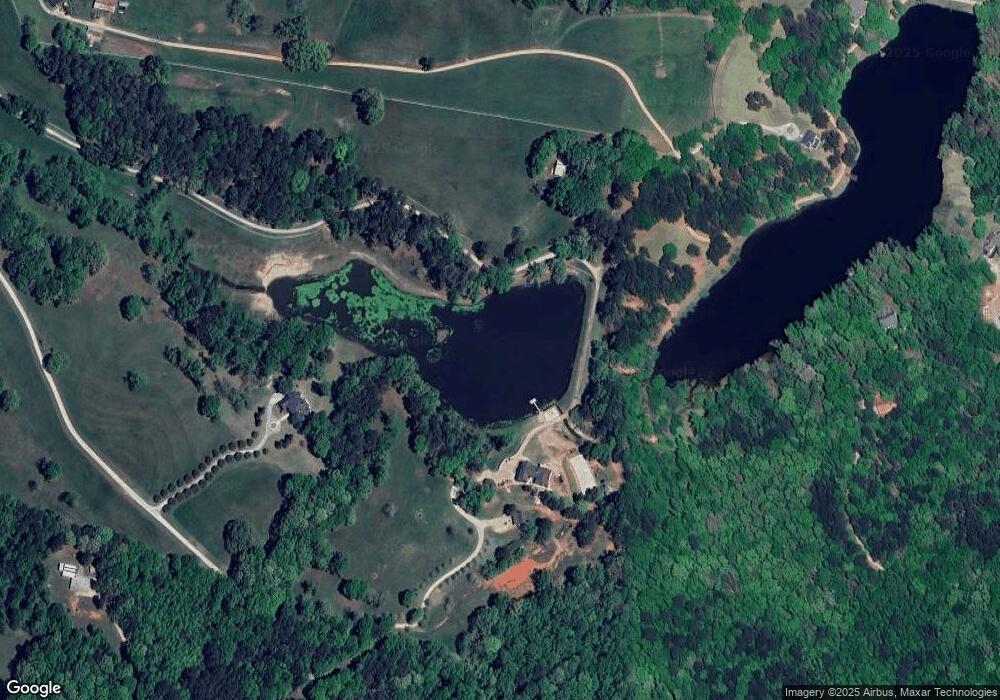
Map
Nearby Homes
- 3845 S Highway 82
- 126 Old Indian Trail
- 0 Old Hunter Rd Unit TRACT 5
- 0 Old Hunter Rd Unit TRACT 3 10552618
- 0 Old Hunter Road Tract 3
- 0 Old Hunter Road Tract 5
- 0 Georgia 330
- 2200 Lebanon Church Lot 3 Rd
- 310 Jacobs Ln
- 3036 Johnson-Hale Rd
- 1914 Hearthstone Ct
- 1916 Hearthstone Ct
- 1917 Hearthstone Ct
- 2200 BLOCK Lebanon Church Rd Unit LOT 3
- 0 Lebanon Church Rd Unit 180224
- 0 Lebanon Church Rd Unit 254186
- 0 Lebanon Church Rd Unit 10532406
- 308 Kinsley Way
- 385 Feldspar Dr
- 1955 Paynes Point
- 2313 Highway 82
- 2313 Georgia 82
- 2317 Highway 82
- 3851 Hwy 82s
- 3851 Highway 82
- 3851 Hwy 82
- 3841 Georgia 82
- 2305 Highway 82
- 2305 Georgia 82
- 3849 Hwy 82
- 3849 Hwy 82
- 3849 Highway 82
- 3849 Highway 82
- 546 Dotson Rd
- 513 Thurmond Cir
- 558 Dotson Rd
- 3845 Highway 82
- 3845 Georgia 82
- 519 Thurmond Cir
- 508 Thurmond Cir