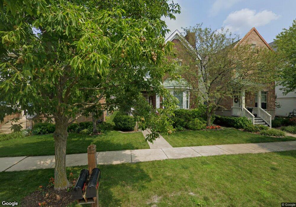
2313 Sundrop Dr Glenview, IL 60026
The Glen NeighborhoodEstimated Value: $858,000 - $1,017,000
4
Beds
3
Baths
2,375
Sq Ft
$407/Sq Ft
Est. Value
About This Home
This home is located at 2313 Sundrop Dr, Glenview, IL 60026 and is currently estimated at $967,191, approximately $407 per square foot. 2313 Sundrop Dr is a home located in Cook County with nearby schools including Westbrook Elementary School, Glen Grove Elementary School, and Attea Middle School.
Ownership History
Date
Name
Owned For
Owner Type
Purchase Details
Closed on
Dec 10, 2001
Sold by
Drh Cambridge Homes Inc
Bought by
Fydyshyn Andrew P and Fydyshyn Helen M
Current Estimated Value
Home Financials for this Owner
Home Financials are based on the most recent Mortgage that was taken out on this home.
Original Mortgage
$150,000
Outstanding Balance
$58,439
Interest Rate
6.53%
Estimated Equity
$908,752
Create a Home Valuation Report for This Property
The Home Valuation Report is an in-depth analysis detailing your home's value as well as a comparison with similar homes in the area
Home Values in the Area
Average Home Value in this Area
Purchase History
| Date | Buyer | Sale Price | Title Company |
|---|---|---|---|
| Fydyshyn Andrew P | $445,500 | Ticor Title Insurance Compan |
Source: Public Records
Mortgage History
| Date | Status | Borrower | Loan Amount |
|---|---|---|---|
| Open | Fydyshyn Andrew P | $150,000 |
Source: Public Records
Tax History Compared to Growth
Tax History
| Year | Tax Paid | Tax Assessment Tax Assessment Total Assessment is a certain percentage of the fair market value that is determined by local assessors to be the total taxable value of land and additions on the property. | Land | Improvement |
|---|---|---|---|---|
| 2024 | $14,521 | $68,923 | $10,093 | $58,830 |
| 2023 | $14,595 | $68,923 | $10,093 | $58,830 |
| 2022 | $14,595 | $71,274 | $10,093 | $61,181 |
| 2021 | $14,304 | $60,799 | $4,844 | $55,955 |
| 2020 | $14,480 | $61,977 | $4,844 | $57,133 |
| 2019 | $13,491 | $68,107 | $4,844 | $63,263 |
| 2018 | $13,239 | $61,000 | $4,238 | $56,762 |
| 2017 | $12,900 | $61,000 | $4,238 | $56,762 |
| 2016 | $12,375 | $61,000 | $4,238 | $56,762 |
| 2015 | $12,946 | $56,987 | $3,431 | $53,556 |
| 2014 | $12,722 | $56,987 | $3,431 | $53,556 |
| 2013 | $12,809 | $59,142 | $3,431 | $55,711 |
Source: Public Records
Map
Nearby Homes
- 2005 Valor Ct Unit 43
- 102 Yale Ct Unit 34LH10
- 187 Princeton Ln Unit 35RG18
- 1867 Admiral Ct Unit 91
- 1891 Admiral Ct Unit 79
- 1735 Patriot Blvd
- 804 8th St
- 2000 Chestnut Ave Unit 103
- 2701 Commons Dr Unit 210
- 1838 Aberdeen Dr
- 431 4th St
- 1719 Wildberry Dr Unit B
- 1855 Tanglewood Dr Unit F
- 1847 Tanglewood Dr Unit 3B
- 1847 Tanglewood Dr Unit 2B
- 2101 Valley lo Ln
- 2050 Valencia Dr Unit 300C
- 2050 Valencia Dr Unit 405C
- 2700 Summit Dr Unit 101
- 2545 Salceda Dr Unit 5B2545S