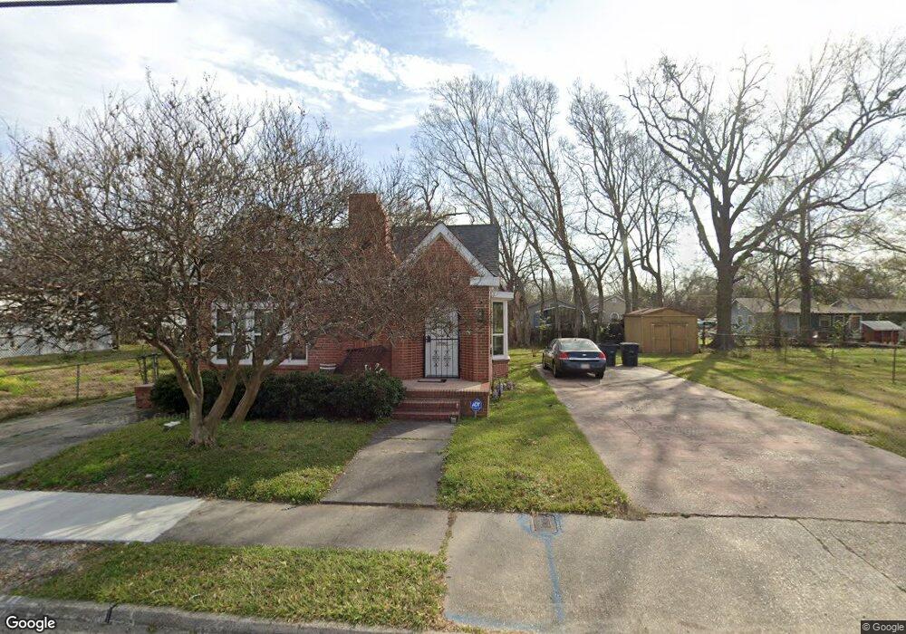
2313 Thomas H Delpit Dr Baton Rouge, LA 70802
Highlands/Perkins NeighborhoodEstimated Value: $59,952 - $69,000
--
Bed
--
Bath
--
Sq Ft
3,964
Sq Ft Lot
About This Home
This home is located at 2313 Thomas H Delpit Dr, Baton Rouge, LA 70802 and is currently estimated at $64,238. 2313 Thomas H Delpit Dr is a home located in East Baton Rouge Parish with nearby schools including Buchanan Elementary School, Glasgow Middle School, and Mckinley Senior High School.
Ownership History
Date
Name
Owned For
Owner Type
Purchase Details
Closed on
Aug 19, 2024
Sold by
Ranias Realty Llc
Bought by
Rbc 2677 Nicholson Llc
Current Estimated Value
Home Financials for this Owner
Home Financials are based on the most recent Mortgage that was taken out on this home.
Original Mortgage
$2,574,724
Outstanding Balance
$2,545,700
Interest Rate
6.89%
Mortgage Type
New Conventional
Estimated Equity
-$2,481,462
Create a Home Valuation Report for This Property
The Home Valuation Report is an in-depth analysis detailing your home's value as well as a comparison with similar homes in the area
Home Values in the Area
Average Home Value in this Area
Purchase History
| Date | Buyer | Sale Price | Title Company |
|---|---|---|---|
| Rbc 2677 Nicholson Llc | $1,247,506 | None Listed On Document | |
| Rbc 2677 Nicholson Llc | $1,247,506 | None Listed On Document |
Source: Public Records
Mortgage History
| Date | Status | Borrower | Loan Amount |
|---|---|---|---|
| Open | Rbc 2677 Nicholson Llc | $2,574,724 | |
| Closed | Rbc 2677 Nicholson Llc | $2,574,724 |
Source: Public Records
Tax History Compared to Growth
Tax History
| Year | Tax Paid | Tax Assessment Tax Assessment Total Assessment is a certain percentage of the fair market value that is determined by local assessors to be the total taxable value of land and additions on the property. | Land | Improvement |
|---|---|---|---|---|
| 2024 | $66 | $5,488 | $123 | $5,365 |
| 2023 | $66 | $4,900 | $110 | $4,790 |
| 2022 | $585 | $4,900 | $110 | $4,790 |
| 2021 | $572 | $4,900 | $110 | $4,790 |
| 2020 | $568 | $4,900 | $110 | $4,790 |
| 2019 | $539 | $4,450 | $100 | $4,350 |
| 2018 | $532 | $4,450 | $100 | $4,350 |
| 2017 | $532 | $4,450 | $100 | $4,350 |
| 2016 | $38 | $2,928 | $100 | $2,828 |
| 2015 | $56 | $4,300 | $100 | $4,200 |
| 2014 | $56 | $4,300 | $100 | $4,200 |
| 2013 | -- | $4,300 | $100 | $4,200 |
Source: Public Records
Map
Nearby Homes
- 2389 Tennessee St
- 824 E Polk St
- 2227 Kentucky St
- 262 E Grant St
- 1965 Kansas St
- 1952 Thomas H Delpit Dr
- 1820 Nebraska St
- 1907 Kansas St
- 1915 Tennessee St
- 478 W Johnson St
- 210 W Polk St
- 2352 Carolina St
- 3005 Highland Rd Unit 27
- 2138 Minnesota St
- 230 Taylor St
- 126 W Harrison St Unit 3
- 126 W Harrison St
- 624 Lorri Burgess Ave
- 616 Lorri Burgess Ave
- Lot 23 W Johnson St
- 2255 Thomas H Delpit Dr
- 2312 Tennessee St
- 2245 Thomas H Delpit Dr
- 2337 Thomas H Delpit Dr
- 2340 Thomas H Delpit Dr
- 2248 Tennessee St
- 2332 Tennessee St
- 2233 Thomas H Delpit Dr
- 568 E Harding St
- 2344 Tennessee St
- 552 E Harding St
- 2354 Tennessee St
- 539 Taft St
- 2289 Tennessee St
- 2227 Thomas H Delpit Dr
- 2361 Thomas H Delpit Dr
- 2249 Tennessee St
- 2319 Tennessee St
- 2364 Tennessee St
- 537 Taft St