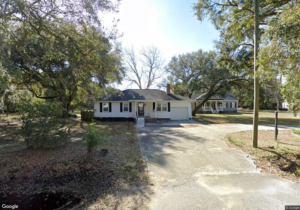
2315 Rifle Range Rd Mount Pleasant, SC 29466
Estimated Value: $616,000 - $921,000
2
Beds
2
Baths
1,178
Sq Ft
$612/Sq Ft
Est. Value
About This Home
This home is located at 2315 Rifle Range Rd, Mount Pleasant, SC 29466 and is currently estimated at $720,508, approximately $611 per square foot. 2315 Rifle Range Rd is a home located in Charleston County with nearby schools including Jennie Moore Elementary School, Laing Middle School, and Wando High School.
Ownership History
Date
Name
Owned For
Owner Type
Purchase Details
Closed on
Feb 14, 2021
Sold by
Hills Nancy M and Estate Of Anthony Denis Hills
Bought by
Ray Vicky L
Current Estimated Value
Purchase Details
Closed on
Oct 23, 2019
Sold by
Hills Nancy M
Bought by
Hills Nancy M and Hills Anthony Denis
Purchase Details
Closed on
Aug 26, 2019
Sold by
Hills Nancy M
Bought by
Hills Anthony Denis and Hills Tiffany N
Create a Home Valuation Report for This Property
The Home Valuation Report is an in-depth analysis detailing your home's value as well as a comparison with similar homes in the area
Home Values in the Area
Average Home Value in this Area
Purchase History
| Date | Buyer | Sale Price | Title Company |
|---|---|---|---|
| Ray Vicky L | -- | None Available | |
| Hills Nancy M | -- | None Available | |
| Hills Anthony Denis | -- | None Available |
Source: Public Records
Tax History Compared to Growth
Tax History
| Year | Tax Paid | Tax Assessment Tax Assessment Total Assessment is a certain percentage of the fair market value that is determined by local assessors to be the total taxable value of land and additions on the property. | Land | Improvement |
|---|---|---|---|---|
| 2024 | $1,732 | $14,940 | $0 | $0 |
| 2023 | $1,732 | $14,940 | $0 | $0 |
| 2022 | $1,583 | $14,940 | $0 | $0 |
| 2021 | $1,665 | $14,940 | $0 | $0 |
| 2020 | $977 | $8,040 | $0 | $0 |
| 2019 | $290 | $1,150 | $0 | $0 |
| 2017 | $572 | $3,150 | $0 | $0 |
| 2016 | $281 | $3,150 | $0 | $0 |
| 2015 | $252 | $3,150 | $0 | $0 |
| 2014 | $207 | $0 | $0 | $0 |
| 2011 | -- | $0 | $0 | $0 |
Source: Public Records
Map
Nearby Homes
- 0 N Rifle Range Rd Unit (Lot 1 & 2)
- 0 N Rifle Range Rd Unit 24028206
- 0 Rifle Range Rd Unit (Lot 2)
- 0 Rifle Range Rd Unit (Lot 1)
- 3104 Sandy Pearl Way
- 2336 Minifarm Way Unit 507
- 2284 Minifarm Way
- 2336 Minifarm Way
- 2276 Minifarm Way
- 3116 Sandy Pearl Way
- Wando Plan at Liberty Hill Farm
- Hamlin Plan at Liberty Hill Farm
- Capers Plan at Liberty Hill Farm
- Copahee Plan at Liberty Hill Farm
- Kiawah Plan at Liberty Hill Farm
- Stono Plan at Liberty Hill Farm
- 2324 Minifarm Way Unit 510
- 1684 Siloh Dr Unit 468
- 1652 Siloh Dr Unit 474
- 1509 W Palmetto Fort Dr
- 2321 Rifle Range Rd
- 2251 Rifle Range Rd
- 2311 Rifle Range Rd
- 2249 Rifle Range Rd
- 2250 Rifle Range Rd
- 2247 Rifle Range Rd
- 1430 Brentley Rd
- 2241 Brently Rd
- 2335 Rifle Range Rd
- 2283 Spring Hope Dr
- 2279 Spring Hope Dr
- 2345 Rifle Range Rd
- 1425 Brentley Rd
- 2275 Spring Hope Dr
- 2284 Spring Hope Dr
- 2271 Spring Hope Dr
- 2267 Spring Hope Dr
- 2237 Rifle Range Rd
- 2325 Rifle Range Rd
- 0 Harry Robinson Rd