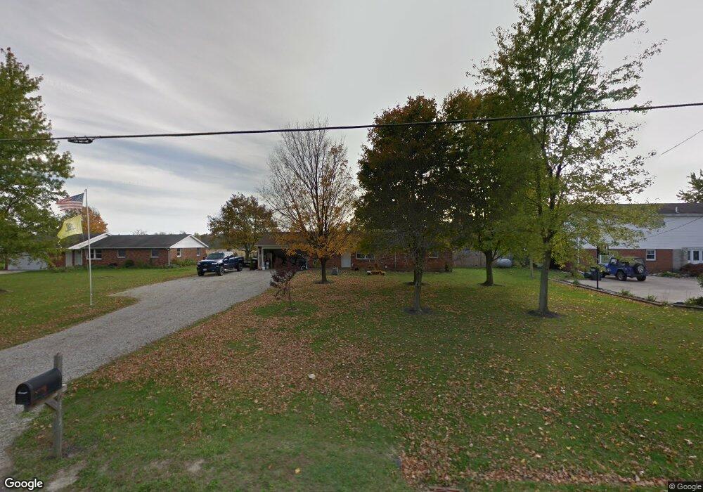
2315 State Route 571 Greenville, OH 45331
Estimated Value: $176,292 - $265,000
3
Beds
2
Baths
1,222
Sq Ft
$173/Sq Ft
Est. Value
About This Home
This home is located at 2315 State Route 571, Greenville, OH 45331 and is currently estimated at $210,823, approximately $172 per square foot. 2315 State Route 571 is a home located in Darke County with nearby schools including Greenville Middle School, Greenville Intermediate School, and Greenville Primary School.
Ownership History
Date
Name
Owned For
Owner Type
Purchase Details
Closed on
Jul 16, 2018
Sold by
Mayo Isaac and Mayo Katlyn
Bought by
Wolfe Joseph L
Current Estimated Value
Home Financials for this Owner
Home Financials are based on the most recent Mortgage that was taken out on this home.
Original Mortgage
$85,360
Outstanding Balance
$73,977
Interest Rate
4.5%
Mortgage Type
New Conventional
Estimated Equity
$136,846
Purchase Details
Closed on
Nov 17, 2017
Sold by
Hill Jason A
Bought by
Moore Jacob C and Moore Amber L
Home Financials for this Owner
Home Financials are based on the most recent Mortgage that was taken out on this home.
Original Mortgage
$84,848
Interest Rate
3.85%
Mortgage Type
New Conventional
Purchase Details
Closed on
May 30, 2013
Sold by
Ison Bill J
Bought by
Mayon Isaac and Smith Katlyn
Purchase Details
Closed on
Mar 28, 2007
Sold by
Estate Of Michelle Arlene Ison
Bought by
Ison Bill J
Create a Home Valuation Report for This Property
The Home Valuation Report is an in-depth analysis detailing your home's value as well as a comparison with similar homes in the area
Home Values in the Area
Average Home Value in this Area
Purchase History
| Date | Buyer | Sale Price | Title Company |
|---|---|---|---|
| Wolfe Joseph L | $88,000 | None Available | |
| Moore Jacob C | $83,300 | None Available | |
| Mayon Isaac | $62,250 | Attorney | |
| Ison Bill J | -- | None Available |
Source: Public Records
Mortgage History
| Date | Status | Borrower | Loan Amount |
|---|---|---|---|
| Open | Wolfe Joseph L | $85,360 | |
| Previous Owner | Moore Jacob C | $84,848 |
Source: Public Records
Tax History Compared to Growth
Tax History
| Year | Tax Paid | Tax Assessment Tax Assessment Total Assessment is a certain percentage of the fair market value that is determined by local assessors to be the total taxable value of land and additions on the property. | Land | Improvement |
|---|---|---|---|---|
| 2024 | $1,408 | $43,610 | $8,110 | $35,500 |
| 2023 | $1,406 | $43,610 | $8,110 | $35,500 |
| 2022 | $1,119 | $31,580 | $6,830 | $24,750 |
| 2021 | $1,122 | $31,580 | $6,830 | $24,750 |
| 2020 | $1,077 | $31,580 | $6,830 | $24,750 |
| 2019 | $963 | $28,350 | $6,830 | $21,520 |
| 2018 | $1,024 | $28,350 | $6,830 | $21,520 |
| 2017 | $816 | $28,350 | $6,830 | $21,520 |
| 2016 | $818 | $22,430 | $6,830 | $15,600 |
| 2015 | $818 | $22,430 | $6,830 | $15,600 |
| 2014 | $819 | $22,430 | $6,830 | $15,600 |
| 2013 | $1,001 | $27,100 | $6,830 | $20,270 |
Source: Public Records
Map
Nearby Homes
- 2149 State Route 571
- 2493 Ohio 571
- 2515 State Route 571
- 8018 Fisher Dangler Rd
- 1960 Ohio 571
- 0 N Madison-Coletwn Rd Unit 1039727
- 3163 State Route 571
- 1108 Ohio 571
- 1108 State Route 571
- 8892 N State Route 49
- 101 Westbury Dr
- 6131 Hillgrove Southern Rd
- 427 State Route 571
- 105 Ashford Cir
- 220 Westbury Dr
- 699 Bur Oak Dr
- 534 Union St
- 760 Birchwood Dr
- 774 Primrose Dr
- 2305 State Route 571
- 2325 State Route 571
- 2295 State Route 571
- 2335 State Route 571
- 2335 State Route 571
- 2285 Ohio 571
- 2285 State Route 571
- 2345 State Route 571
- 2275 State Route 571
- 2365 State Route 571
- 2334 Ohio 571
- 2334 State Route 571
- 2265 State Route 571
- 2355 State Route 571
- 2355 Ohio 571
- 2241 State Route 571
- 2375 State Route 571
- 2378 State Route 571
- 2385 State Route 571
- 2400 Ohio 571