2316 Independence Dr Unit A71 Austin, TX 78745
Garrison Park NeighborhoodEstimated Value: $540,000 - $616,000
About This Home
This home is located at 2316 Independence Dr Unit A71, Austin, TX 78745 and is currently estimated at $579,492, approximately $325 per square foot. 2316 Independence Dr Unit A71 is a home located in Travis County with nearby schools including Cunningham Elementary School, Covington Middle School, and Crockett High School.
Ownership History
We collect this data history from publicly available records. To have your information removed, we recommend requesting removal directly through your county’s website.
Purchase Details
Purchase Details
Home Financials for this Owner
Home Financials are based on the most recent Mortgage that was taken out on this home.Purchase Details
Home Financials for this Owner
Home Financials are based on the most recent Mortgage that was taken out on this home.Purchase Details
Home Financials for this Owner
Home Financials are based on the most recent Mortgage that was taken out on this home.Purchase Details
Home Financials for this Owner
Home Financials are based on the most recent Mortgage that was taken out on this home.Home Values in the Area
Average Home Value in this Area
Purchase History
We collect this data history from publicly available records. To have your information removed, we recommend requesting removal directly through your county’s website.
| Date | Buyer | Sale Price | Title Company |
|---|---|---|---|
| -- | -- | ||
| -- | None Available | ||
| -- | None Available | ||
| -- | None Available | ||
| -- | Universal Land Title |
Mortgage History
We collect this data history from publicly available records. To have your information removed, we recommend requesting removal directly through your county’s website.
| Date | Status | Borrower | Loan Amount |
|---|---|---|---|
| Previous Owner | $275,625 | ||
| Previous Owner | $238,500 | ||
| Previous Owner | $203,250 | ||
| Previous Owner | $228,860 |
Tax History
We collect this data history from publicly available records. To have your information removed, we recommend requesting removal directly through your county’s website.
| Year | Tax Paid | Tax Assessment Tax Assessment Total Assessment is a certain percentage of the fair market value that is determined by local assessors to be the total taxable value of land and additions on the property. | Land | Improvement |
|---|---|---|---|---|
| 2025 | $4,846 | $570,675 | $135,299 | $435,376 |
| 2023 | $5,508 | $478,639 | $0 | $0 |
| 2022 | $12,269 | $621,236 | $135,299 | $485,937 |
| 2021 | $8,610 | $395,569 | $90,199 | $305,370 |
| 2020 | $7,778 | $362,653 | $90,199 | $272,454 |
| 2018 | $7,852 | $354,663 | $63,139 | $291,524 |
| 2017 | $7,432 | $333,257 | $63,139 | $270,118 |
| 2016 | $7,176 | $321,777 | $63,139 | $258,638 |
| 2015 | $6,467 | $300,545 | $63,139 | $237,406 |
| 2014 | $6,467 | $271,765 | $63,139 | $208,626 |
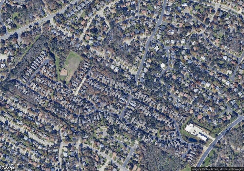
Map
- 2200 Amur Dr Unit B35
- 2229 Independence Dr Unit A63
- 2329 Amur Dr
- 2306 Standish Dr
- 2403 Gateshead Cir
- 2615 Coatbridge Dr
- 2605 W Stassney Ln Unit a
- 2101 Falcon Hill Dr
- 6107 Blarwood Dr
- 5708 W Gate Blvd
- 5700 Lewood Dr
- 2526 Mcgregor Dr
- 2500 Cockburn Dr
- 2609 Carlow Dr
- 1912 Parkside Ln
- 6304 Berkeley Cove
- 2604 Cockburn Dr
- 2609 Mcgregor Dr
- 2412 Aldford Dr
- 6108 Bridlington Cir
- 2313 Independence Dr Unit B93
- 6000 Stone Pass
- 6004 Stone Pass Unit B91
- 6008 Stone Pass Unit B90
- 2317 Independence Dr
- 2304 Independence Dr
- 2312 Independence Dr
- 2308 Independence Dr Unit B108
- 6001 Stone Pass Unit A50
- 2300 Independence Dr
- 2321 Independence Dr
- 6005 Stone Pass Unit A49
- 2316 Independence Dr Unit B110
- 6016 Stone Pass Unit B89
- 2320 Independence Dr Unit B111
- 2240 Independence Dr Unit A83
- 2325 Independence Dr
- 2325 Independence Dr Unit B13
- 2325 Independence Dr Unit B96
- 2324 Independence Dr Unit B112
Ask me questions while you tour the home.