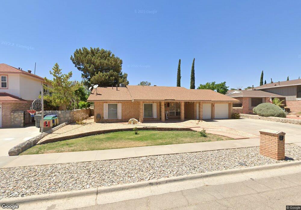
2317 Mermaid Dr Unit 1 El Paso, TX 79936
Glen Cove NeighborhoodEstimated Value: $239,202 - $256,000
4
Beds
2
Baths
1,780
Sq Ft
$140/Sq Ft
Est. Value
About This Home
This home is located at 2317 Mermaid Dr Unit 1, El Paso, TX 79936 and is currently estimated at $249,301, approximately $140 per square foot. 2317 Mermaid Dr Unit 1 is a home located in El Paso County with nearby schools including Glen Cove Elementary School, J.M. Hanks Middle School, and J M Hanks High School.
Ownership History
Date
Name
Owned For
Owner Type
Purchase Details
Closed on
May 20, 2014
Sold by
Esparza Laura
Bought by
Segovia Elizabeth
Current Estimated Value
Home Financials for this Owner
Home Financials are based on the most recent Mortgage that was taken out on this home.
Original Mortgage
$144,337
Outstanding Balance
$109,672
Interest Rate
4.25%
Mortgage Type
FHA
Estimated Equity
$139,629
Purchase Details
Closed on
May 29, 2002
Sold by
Esparza Ricardo A
Bought by
Esparza Laura
Create a Home Valuation Report for This Property
The Home Valuation Report is an in-depth analysis detailing your home's value as well as a comparison with similar homes in the area
Home Values in the Area
Average Home Value in this Area
Purchase History
| Date | Buyer | Sale Price | Title Company |
|---|---|---|---|
| Segovia Elizabeth | -- | None Available | |
| Esparza Laura | -- | -- |
Source: Public Records
Mortgage History
| Date | Status | Borrower | Loan Amount |
|---|---|---|---|
| Open | Segovia Elizabeth | $144,337 |
Source: Public Records
Tax History Compared to Growth
Tax History
| Year | Tax Paid | Tax Assessment Tax Assessment Total Assessment is a certain percentage of the fair market value that is determined by local assessors to be the total taxable value of land and additions on the property. | Land | Improvement |
|---|---|---|---|---|
| 2025 | $3,920 | $230,205 | -- | -- |
| 2024 | $3,920 | $209,277 | -- | -- |
| 2023 | $3,623 | $190,252 | $0 | $0 |
| 2022 | $5,371 | $172,956 | $0 | $0 |
| 2021 | $5,111 | $157,233 | $23,940 | $133,293 |
| 2020 | $4,927 | $155,977 | $20,625 | $135,352 |
| 2018 | $4,860 | $156,292 | $20,625 | $135,667 |
| 2017 | $4,365 | $142,800 | $20,625 | $122,175 |
| 2016 | $4,025 | $131,693 | $20,625 | $111,068 |
| 2015 | $3,787 | $131,693 | $20,625 | $111,068 |
| 2014 | $3,787 | $132,352 | $20,625 | $111,727 |
Source: Public Records
Map
Nearby Homes
- 2348 Sea Side Dr
- 2308 Tom Watson Ct
- 2604 Anise Dr
- 11132 Wharf Cove Dr
- 11201 Skipper Dr
- 2825 Wong Place Unit A/D
- 11276 Skipper Dr
- 11008 Johnny Miller Dr
- 11129 Nautical Dr
- 1913 Seagull Dr
- 11013 Bob Stone Dr
- 11016 Bob Stone Dr
- 2820 Beachcomber Dr
- 11012 Bob Stone Dr
- 2101 E Glen Dr
- 3121 Red Sails Dr
- 2009 Bobby Jones Dr Unit B
- 1868 Tom Bolt Dr
- 2001 Bobby Jones Dr Unit A
- 2325 Ken Venturi Ln
- 2317 Mermaid Dr
- 2321 Mermaid Dr Unit 3
- 2313 Mermaid Dr
- 11128 Sam Snead Dr
- 11132 Sam Snead Dr
- 11124 Sam Snead Dr
- 11136 Sam Snead Dr
- 2325 2325 Dr
- 11105 Sea Foam Way
- 2316 Mermaid Dr
- 2320 Mermaid Dr
- 2320 Mermaid Dr Unit .
- 2312 Mermaid Dr
- 11140 Sam Snead Dr
- 2328 Mermaid Dr
- 11101 Sea Foam Way
- 2329 Mermaid Dr
- 11109 Sea Foam Way
- 2400 Red Sails Dr
- 11144 Sam Snead Dr