Estimated Value: $267,618 - $300,000
--
Bed
2
Baths
1,814
Sq Ft
$157/Sq Ft
Est. Value
About This Home
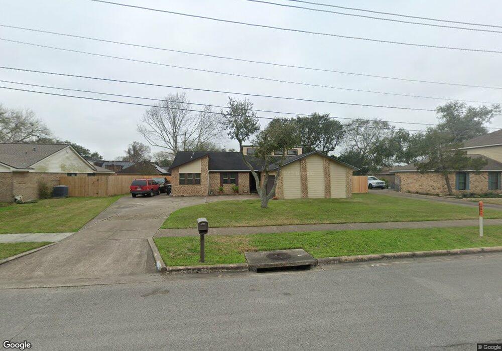
This home is located at 2317 Westpark Dr, Alvin, TX 77511 and is currently estimated at $284,155, approximately $156 per square foot. 2317 Westpark Dr is a home located in Brazoria County with nearby schools including Alvin Elementary School, Alvin Junior High School, and Alvin High School.
Ownership History
Date
Name
Owned For
Owner Type
Purchase Details
Closed on
Oct 20, 2022
Sold by
Royles Tina Robin E
Bought by
Royles Family Trust
Current Estimated Value
Purchase Details
Closed on
Nov 12, 2009
Sold by
Warren Don Eugene
Bought by
Warren Tina Robin E
Purchase Details
Closed on
Apr 24, 1997
Sold by
Hoover Charles Edward and Hoover Jacqueline Ann
Bought by
Warren Don Eugene and Warren Robin E
Home Financials for this Owner
Home Financials are based on the most recent Mortgage that was taken out on this home.
Original Mortgage
$83,947
Interest Rate
7.82%
Mortgage Type
FHA
Create a Home Valuation Report for This Property
The Home Valuation Report is an in-depth analysis detailing your home's value as well as a comparison with similar homes in the area
Home Values in the Area
Average Home Value in this Area
Purchase History
| Date | Buyer | Sale Price | Title Company |
|---|---|---|---|
| Royles Family Trust | -- | -- | |
| Warren Tina Robin E | -- | None Available | |
| Warren Don Eugene | -- | -- |
Source: Public Records
Mortgage History
| Date | Status | Borrower | Loan Amount |
|---|---|---|---|
| Previous Owner | Warren Don Eugene | $83,947 | |
| Closed | Warren Tina Robin E | $0 |
Source: Public Records
Tax History Compared to Growth
Tax History
| Year | Tax Paid | Tax Assessment Tax Assessment Total Assessment is a certain percentage of the fair market value that is determined by local assessors to be the total taxable value of land and additions on the property. | Land | Improvement |
|---|---|---|---|---|
| 2025 | $4,333 | $236,090 | $46,410 | $189,680 |
| 2023 | $4,333 | $241,032 | $46,410 | $207,370 |
| 2022 | $6,010 | $219,120 | $43,310 | $182,970 |
| 2021 | $5,751 | $199,200 | $44,550 | $154,650 |
| 2020 | $5,345 | $182,630 | $37,130 | $145,500 |
| 2019 | $5,436 | $180,970 | $30,940 | $150,030 |
| 2018 | $5,197 | $172,700 | $30,940 | $141,760 |
| 2017 | $5,229 | $172,700 | $30,940 | $141,760 |
| 2016 | $4,754 | $156,000 | $30,940 | $125,060 |
| 2015 | $3,778 | $145,600 | $30,940 | $114,660 |
| 2014 | $3,778 | $142,120 | $30,940 | $111,180 |
Source: Public Records
Map
Nearby Homes
- 2408 Chelmsford Ct
- 1237 Lancer Leap Dr
- 2306 Westfield St
- 1217 Lancer Leap Dr
- 1229 Steed Bluff Dr
- 1215 Colt Canyon Dr
- 1600 Rosharon Rd Unit 19
- 1203 Lancer Leap Dr
- 1211 Quarterhorse Dr
- 1201 Stallion Ridge
- 1197 Cavalry Junction Dr
- 1916 Tracy Lynn Ln
- 1193 Stallion Ridge
- 1279 Pinto Pass
- 1188 Filly Creek Dr
- 2514 Westfield St
- 2604 Adams St
- 0 Kost Rd
- 1174 Filly Creek Dr
- 2609 Adams St
- 2325 Westpark Dr
- 2309 Westpark Dr
- 2316 Chelmsford Ct
- 2324 Chelmsford Ct
- 2312 Chelmsford Ct
- 2401 Westpark Dr
- 2105 Ryan Dr
- 2400 Chelmsford Ct
- 2113 Ryan Dr
- 00 Lot 3 Block 30 Ct
- 00 Lot 3 Block 30 Ct Unit LOT 3
- 2121 Ryan Dr
- 2409 Westpark Dr
- 2309 Chelmsford Ct
- 2317 Chelmsford Ct
- 2325 Chelmsford Ct
- 2205 Ryan Dr
- 2401 Chelmsford Ct
- 2417 Westpark Dr
- 2416 Chelmsford Ct