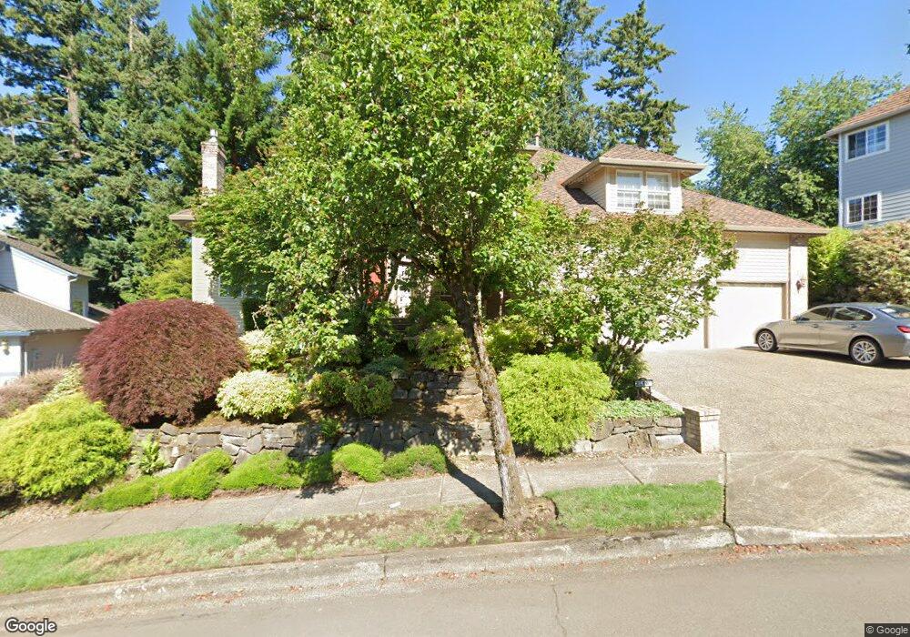
2318 Falcon Dr West Linn, OR 97068
Willamette NeighborhoodEstimated Value: $955,000 - $1,071,000
3
Beds
3
Baths
3,222
Sq Ft
$310/Sq Ft
Est. Value
About This Home
This home is located at 2318 Falcon Dr, West Linn, OR 97068 and is currently estimated at $998,244, approximately $309 per square foot. 2318 Falcon Dr is a home located in Clackamas County with nearby schools including Willamette Primary School, Athey Creek Middle School, and West Linn High School.
Ownership History
Date
Name
Owned For
Owner Type
Purchase Details
Closed on
Jul 25, 2014
Sold by
Wilson George E and Wilson Margaret M
Bought by
Yi Gale Steven J and Yi Ger Gale Belinda Kwang
Current Estimated Value
Home Financials for this Owner
Home Financials are based on the most recent Mortgage that was taken out on this home.
Original Mortgage
$380,000
Outstanding Balance
$288,601
Interest Rate
4.16%
Mortgage Type
New Conventional
Estimated Equity
$709,643
Create a Home Valuation Report for This Property
The Home Valuation Report is an in-depth analysis detailing your home's value as well as a comparison with similar homes in the area
Home Values in the Area
Average Home Value in this Area
Purchase History
| Date | Buyer | Sale Price | Title Company |
|---|---|---|---|
| Yi Gale Steven J | $600,000 | Fidelity National Title Co |
Source: Public Records
Mortgage History
| Date | Status | Borrower | Loan Amount |
|---|---|---|---|
| Open | Yi Gale Steven J | $380,000 |
Source: Public Records
Tax History Compared to Growth
Tax History
| Year | Tax Paid | Tax Assessment Tax Assessment Total Assessment is a certain percentage of the fair market value that is determined by local assessors to be the total taxable value of land and additions on the property. | Land | Improvement |
|---|---|---|---|---|
| 2025 | $12,429 | $644,945 | -- | -- |
| 2024 | $11,964 | $626,161 | -- | -- |
| 2023 | $11,964 | $607,924 | $0 | $0 |
| 2022 | $11,292 | $590,218 | $0 | $0 |
| 2021 | $10,457 | $573,028 | $0 | $0 |
| 2020 | $10,386 | $556,338 | $0 | $0 |
| 2019 | $9,929 | $540,134 | $0 | $0 |
| 2018 | $9,460 | $524,402 | $0 | $0 |
| 2017 | $9,036 | $509,128 | $0 | $0 |
| 2016 | $8,674 | $494,299 | $0 | $0 |
| 2015 | $8,292 | $479,902 | $0 | $0 |
| 2014 | $7,846 | $465,924 | $0 | $0 |
Source: Public Records
Map
Nearby Homes
- 2378 Falcon Dr
- 23136 Bland Cir
- 4650 Summerlinn Way
- 4630 Summerlinn Way
- 6505 Summerlinn Way Unit 79
- 6735 Summerlinn Way Unit 87
- 23019 Bland Cir
- 6840 Summerlinn Way Unit 93
- 3850 Summerlinn Dr Unit 58
- 3565 Summerlinn Dr Unit 64
- 3395 Summerlinn Dr Unit 24
- 3135 Summerlinn Dr Unit 40
- 2050 Alpine Dr
- 850 Springtree Ln Unit 850
- 1791 Blankenship Rd
- 800 Springtree Ln
- 880 Springtree Ln Unit 880
- 975 Springtree Ln
- 640 Springtree Ln
- 1808 Hall Ct
- 2314 Falcon Dr
- 2314 Falconre-List
- 2314 Falcon Re-List
- 2324 Falcon Dr
- 1950 Taylor Ct Unit LT 19
- 1950 Taylor Ct
- 1955 Taylor Ct
- 0 Falcon Dr
- 2412 Remington Dr
- 2211 Carson Dr Unit LT 24
- 2211 Carson Dr
- 1930 Taylor Ct
- 2215 Carson Dr
- 2328 Falcon Dr
- 1945 Taylor Ct
- 2207 Carson Dr
- 2315 Falcon Dr
- 2405 Remington Dr
- 2416 Remington Dr
- 2311 Falcon Dr