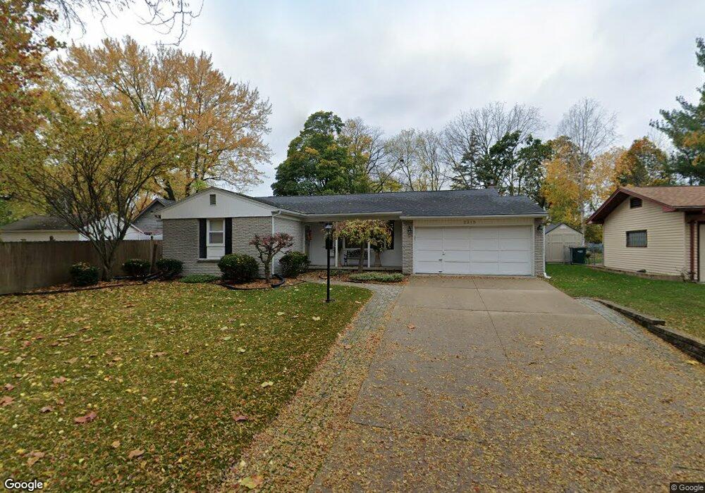
2318 Grant St Lansing, MI 48910
Clifford Park NeighborhoodEstimated Value: $196,000 - $209,000
Studio
1
Bath
1,459
Sq Ft
$139/Sq Ft
Est. Value
About This Home
This home is located at 2318 Grant St, Lansing, MI 48910 and is currently estimated at $203,151, approximately $139 per square foot. 2318 Grant St is a home located in Ingham County with nearby schools including Lyons Elementary School, Attwood School, and Eastern High School.
Ownership History
Date
Name
Owned For
Owner Type
Purchase Details
Closed on
Aug 14, 2018
Sold by
Bischoff William M
Bought by
Bischoff Marilyn J and The Marilyn J Bischoff Revocable Living
Current Estimated Value
Purchase Details
Closed on
May 30, 2007
Sold by
Bischoff William M and Bischoff Marilyn J
Bought by
The William M Bischoff Revocable Living
Create a Home Valuation Report for This Property
The Home Valuation Report is an in-depth analysis detailing your home's value as well as a comparison with similar homes in the area
Home Values in the Area
Average Home Value in this Area
Purchase History
| Date | Buyer | Sale Price | Title Company |
|---|---|---|---|
| Bischoff Marilyn J | -- | None Available | |
| The William M Bischoff Revocable Living | -- | None Available | |
| The Marilyn J Bischoff Revocable Living | -- | None Available |
Source: Public Records
Tax History
| Year | Tax Paid | Tax Assessment Tax Assessment Total Assessment is a certain percentage of the fair market value that is determined by local assessors to be the total taxable value of land and additions on the property. | Land | Improvement |
|---|---|---|---|---|
| 2025 | $4,258 | $101,400 | $11,500 | $89,900 |
| 2024 | $34 | $91,600 | $11,500 | $80,100 |
| 2023 | $3,990 | $83,700 | $11,500 | $72,200 |
| 2022 | $3,593 | $71,500 | $10,500 | $61,000 |
| 2021 | $3,519 | $68,000 | $7,500 | $60,500 |
| 2020 | $3,498 | $65,600 | $7,500 | $58,100 |
| 2019 | $3,355 | $58,200 | $7,500 | $50,700 |
| 2018 | $3,141 | $55,100 | $7,500 | $47,600 |
| 2017 | $3,008 | $55,100 | $7,500 | $47,600 |
| 2016 | $2,948 | $54,200 | $7,500 | $46,700 |
| 2015 | $2,948 | $52,500 | $14,943 | $37,557 |
| 2014 | $2,948 | $53,000 | $11,877 | $41,123 |
Source: Public Records
Map
Nearby Homes
- 2208 Lyons Ave
- 704 Mckim Ave
- 2302 Maplewood Ave
- 915 Tisdale Ave
- 2340 S Pennsylvania Ave
- 525 E Mount Hope Ave
- 2305 Forest Ave
- 1818 Ray St
- 2418 Forest Ave
- 315 E Mount Hope Ave
- 2201 S Pennsylvania Ave
- 1917 Teel Ave
- 1731 Herbert St
- 2215 Alpha St
- 413 E Hodge Ave
- 616 Isbell St
- 1807 Teel Ave
- 1718 Donora St
- 320 E Hodge Ave
- 3101 Plymouth Dr
- 2310 Grant St
- 567 Tisdale Ave
- 571 Tisdale Ave
- 561 Tisdale Ave
- 579 Tisdale Ave
- 555 Tisdale Ave
- 564 Pacific Pkwy
- 2300 Grant St
- 544 Edison Ave
- 560 Pacific Pkwy
- 548 Pacific Pkwy
- 551 Tisdale Ave
- 554 Pacific Pkwy
- 2311 Grant St
- 600 Pacific Pkwy
- 549 Tisdale Ave
- 603 Tisdale Ave
- 545 Tisdale Ave
- 606 Pacific Pkwy
- 609 Tisdale Ave