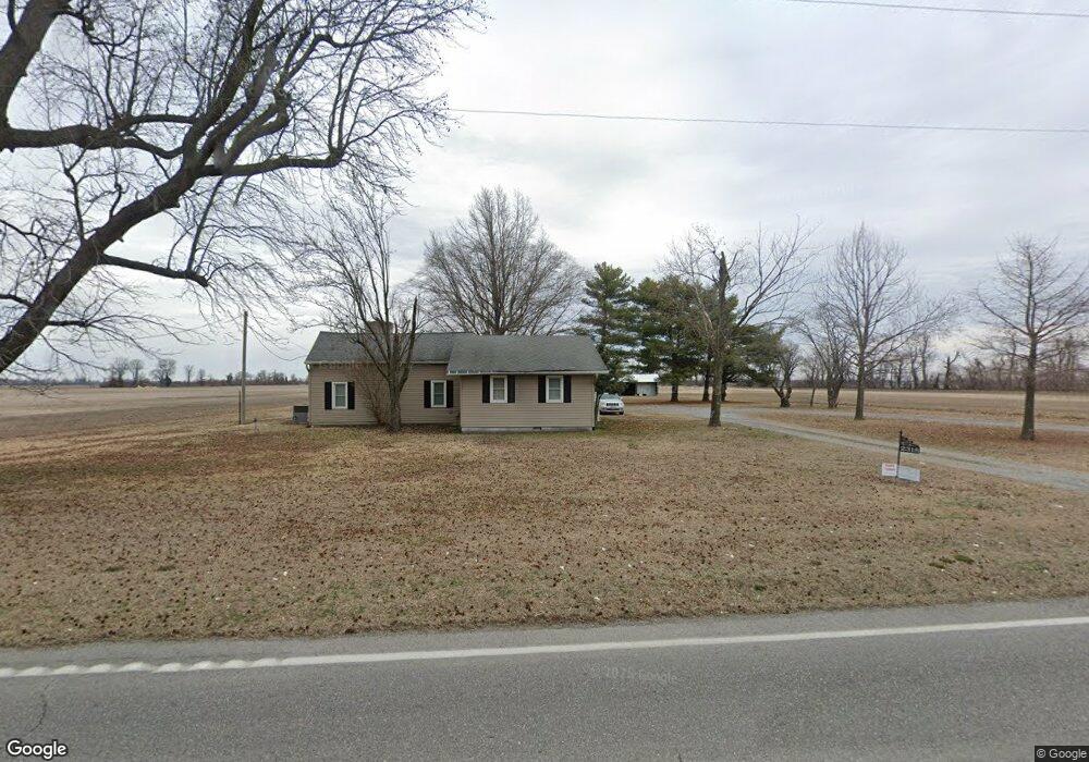
2318 W Highway 62 Bertrand, MO 63823
Estimated Value: $125,000 - $207,000
4
Beds
--
Bath
2,172
Sq Ft
$72/Sq Ft
Est. Value
About This Home
This home is located at 2318 W Highway 62, Bertrand, MO 63823 and is currently estimated at $157,236, approximately $72 per square foot. 2318 W Highway 62 is a home with nearby schools including Warren E. Hearnes Elementary School, Charleston Middle School, and Charleston High School.
Ownership History
Date
Name
Owned For
Owner Type
Purchase Details
Closed on
Sep 19, 2017
Sold by
Ames Nancy C
Bought by
Norton Lisa C
Current Estimated Value
Purchase Details
Closed on
Jan 4, 2017
Sold by
Mcdowell David & Carol Trust
Bought by
Norton Lisa
Home Financials for this Owner
Home Financials are based on the most recent Mortgage that was taken out on this home.
Original Mortgage
$96,500
Interest Rate
4.03%
Mortgage Type
Construction
Create a Home Valuation Report for This Property
The Home Valuation Report is an in-depth analysis detailing your home's value as well as a comparison with similar homes in the area
Home Values in the Area
Average Home Value in this Area
Purchase History
| Date | Buyer | Sale Price | Title Company |
|---|---|---|---|
| Norton Lisa C | -- | None Available | |
| Norton Lisa | $120,625 | -- | |
| Norton Lisa | -- | None Available |
Source: Public Records
Mortgage History
| Date | Status | Borrower | Loan Amount |
|---|---|---|---|
| Previous Owner | Norton Lisa | $96,500 |
Source: Public Records
Tax History Compared to Growth
Tax History
| Year | Tax Paid | Tax Assessment Tax Assessment Total Assessment is a certain percentage of the fair market value that is determined by local assessors to be the total taxable value of land and additions on the property. | Land | Improvement |
|---|---|---|---|---|
| 2025 | $784 | $16,530 | $0 | $0 |
| 2024 | $755 | $15,960 | $0 | $0 |
| 2023 | $756 | $15,960 | $0 | $0 |
| 2022 | $697 | $14,710 | $0 | $0 |
| 2021 | $682 | $14,710 | $0 | $0 |
| 2020 | $682 | $14,400 | $0 | $0 |
| 2019 | $658 | $14,160 | $0 | $0 |
| 2018 | $636 | $13,640 | $0 | $0 |
| 2016 | $0 | $11,250 | $0 | $11,250 |
| 2011 | $469 | $10,770 | $0 | $0 |
Source: Public Records
Map
Nearby Homes
- 101 E Cedar St
- 211 E Elm St
- 11 Melissa St
- 20 & 30 Artic Ln
- 78 Little John
- 188 Swank St
- 224 S Interstate Dr
- 1394 County Road 538
- 815 Gail St
- 0 County Hwy 544 Unit MAR25013765
- 0 Mo-Aa Unit MAR25029644
- 608 State Highway H
- 601 Elkins St
- 306 Cravens St
- 514 S Main St
- 207 E Marshall St
- 503 Rodgers St
- 5 State Route N
- 409 E Cypress St
- 405 Pam St
- 2827 W 404th Rd
- 2873 W 404th Rd
- 2501 W 404th Rd
- 2734 W 404th Rd
- 4067 W 404th Rd
- 4145 W 404th Rd
- 4031 W 404th Rd
- 3249 N Hwy B
- 3249 N Highway B
- 2988 N Highway B
- 2636 N Highway B
- 3400 W 404th Rd
- 405 S Jobe Dr
- 403 S Jobe Dr
- 409 S Jobe Dr
- 411 S Jobe Dr
- 3571 W 404th Rd
- 413 S Jobe Dr
- 307 W Jobe Dr
- 2553 W Highway 62