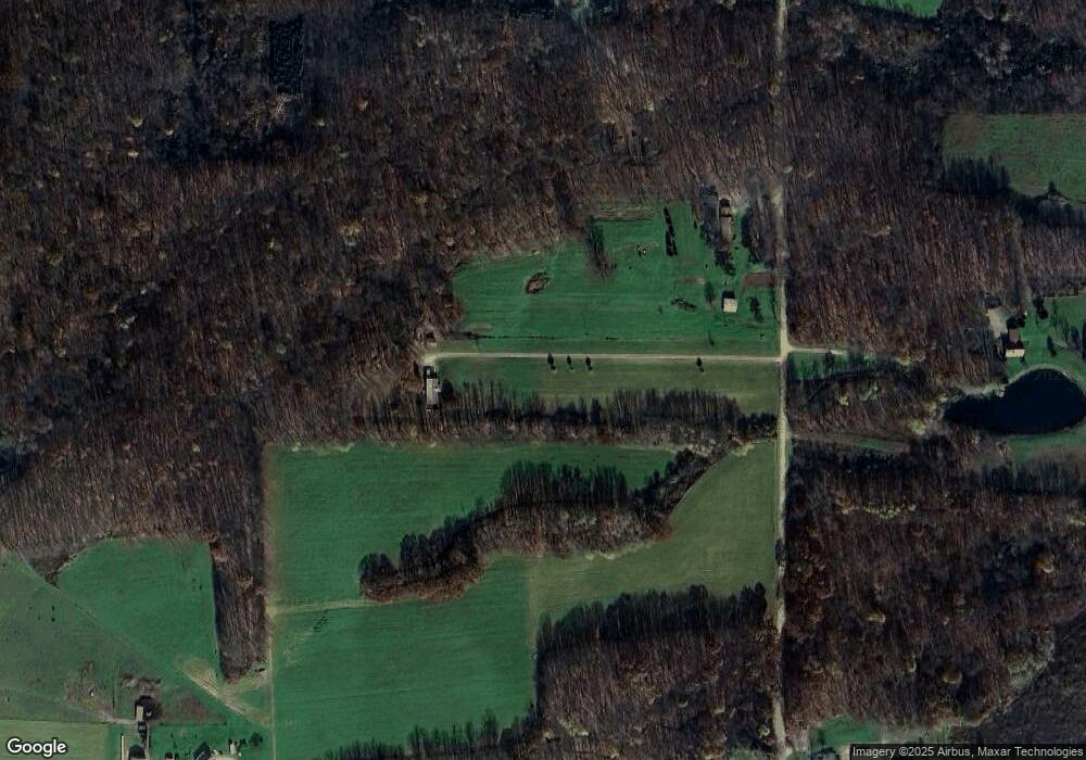
23183 Capp Rd Venango, PA 16440
Estimated Value: $175,466 - $333,000
--
Bed
--
Bath
--
Sq Ft
6.89
Acres
About This Home
This home is located at 23183 Capp Rd, Venango, PA 16440 and is currently estimated at $239,155. 23183 Capp Rd is a home located in Crawford County with nearby schools including Cambridge Springs Elementary School and Cambridge Springs Junior/Senior High School.
Ownership History
Date
Name
Owned For
Owner Type
Purchase Details
Closed on
Oct 16, 2013
Sold by
Norton Jennifer J
Bought by
Norton Dale R
Current Estimated Value
Create a Home Valuation Report for This Property
The Home Valuation Report is an in-depth analysis detailing your home's value as well as a comparison with similar homes in the area
Home Values in the Area
Average Home Value in this Area
Purchase History
| Date | Buyer | Sale Price | Title Company |
|---|---|---|---|
| Norton Dale R | -- | None Available |
Source: Public Records
Tax History Compared to Growth
Tax History
| Year | Tax Paid | Tax Assessment Tax Assessment Total Assessment is a certain percentage of the fair market value that is determined by local assessors to be the total taxable value of land and additions on the property. | Land | Improvement |
|---|---|---|---|---|
| 2025 | $847 | $34,100 | $1,350 | $32,750 |
| 2024 | $2,663 | $34,100 | $1,350 | $32,750 |
| 2023 | $2,663 | $34,100 | $1,350 | $32,750 |
| 2022 | $2,646 | $34,100 | $1,350 | $32,750 |
| 2021 | $2,629 | $34,100 | $1,350 | $32,750 |
| 2020 | $2,629 | $34,100 | $1,350 | $32,750 |
| 2019 | $2,578 | $34,100 | $1,350 | $32,750 |
| 2018 | $2,484 | $34,100 | $1,350 | $32,750 |
| 2017 | $2,423 | $34,100 | $1,350 | $32,750 |
| 2016 | $711 | $34,100 | $1,350 | $32,750 |
| 2015 | $711 | $34,100 | $1,350 | $32,750 |
| 2014 | -- | $34,100 | $1,350 | $32,750 |
Source: Public Records
Map
Nearby Homes
- 18720 Fox Rd
- 21641 Irish Rd
- 0 Pennsylvania 99
- 23189 Us Highway 6 and 19
- 0 Route 198 at I-79 Unit 155589
- 24994 Drakes Mills Rd
- 15548 Beaver Rd
- 22527 Lakeview Dr
- 5241 Tarbell Rd
- 12851 Fry Rd
- 543 S Main St
- 26052 Misty Meadows
- 330 Mcclellan St
- 204 Stonehaven Dr
- 232 N Main St
- 400 Thomas St
- 336 Thomas St
- 139 Mcclellan St
- 26465 Mount Pleasant Rd
- 15954 Parsons Ln
- 23439 Capp Rd
- 23019 Capp Rd
- 19471 Fox Rd
- 23561 Capp Rd
- 19658 Center Rd
- 19970 Center Rd
- 19299 Center Rd
- 23788 Capp Rd
- 19735 Bear Rd
- 0 Miller Hill Rd Unit 61533
- 0 Miller Hill Rd Unit 91026
- 0 Miller Hill Rd Unit 39612
- 0 Mott Farm Dr Unit 100656
- 0 Mott Farm Dr Unit 100655
- 0 Mott Farm Dr Unit 100653
- 0 Mott Farm Dr Unit 100649
- 0 Mott Farm Dr Unit 100566
- 0 Route 871 at Twp Line Rd Unit 126214
- 00 408 St Hwy Rd
- 20418 Center Rd
