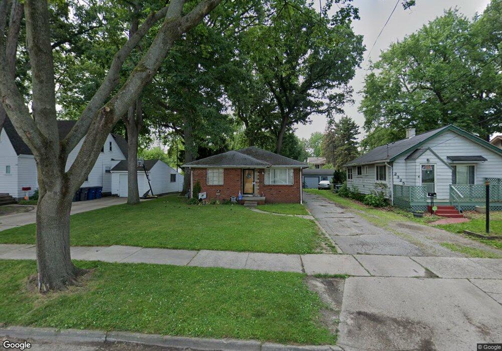
2319 Dunham St Toledo, OH 43609
Southside NeighborhoodEstimated Value: $80,000 - $94,000
2
Beds
1
Bath
1,038
Sq Ft
$85/Sq Ft
Est. Value
About This Home
This home is located at 2319 Dunham St, Toledo, OH 43609 and is currently estimated at $88,381, approximately $85 per square foot. 2319 Dunham St is a home located in Lucas County with nearby schools including Burroughs Elementary School, Bowsher High School, and Explorers Academy of Science and Technology.
Ownership History
Date
Name
Owned For
Owner Type
Purchase Details
Closed on
Feb 4, 2000
Sold by
Huddleston James A and Huddleston Ann M
Bought by
Harmon Janice L
Current Estimated Value
Home Financials for this Owner
Home Financials are based on the most recent Mortgage that was taken out on this home.
Original Mortgage
$60,941
Outstanding Balance
$18,932
Interest Rate
7.98%
Mortgage Type
FHA
Estimated Equity
$69,449
Purchase Details
Closed on
May 18, 1992
Sold by
Cook Donna L
Purchase Details
Closed on
Aug 30, 1991
Sold by
Thornton Lucille N
Create a Home Valuation Report for This Property
The Home Valuation Report is an in-depth analysis detailing your home's value as well as a comparison with similar homes in the area
Home Values in the Area
Average Home Value in this Area
Purchase History
| Date | Buyer | Sale Price | Title Company |
|---|---|---|---|
| Harmon Janice L | $61,000 | Northwest Title Agency Of Oh | |
| -- | $42,500 | -- | |
| -- | -- | -- |
Source: Public Records
Mortgage History
| Date | Status | Borrower | Loan Amount |
|---|---|---|---|
| Open | Harmon Janice L | $60,941 |
Source: Public Records
Tax History
| Year | Tax Paid | Tax Assessment Tax Assessment Total Assessment is a certain percentage of the fair market value that is determined by local assessors to be the total taxable value of land and additions on the property. | Land | Improvement |
|---|---|---|---|---|
| 2025 | -- | $22,225 | $6,020 | $16,205 |
| 2024 | $734 | $22,225 | $6,020 | $16,205 |
| 2023 | $1,507 | $22,050 | $3,885 | $18,165 |
| 2022 | $1,504 | $22,050 | $3,885 | $18,165 |
| 2021 | $1,509 | $22,050 | $3,885 | $18,165 |
| 2020 | $1,591 | $20,405 | $3,570 | $16,835 |
| 2019 | $1,540 | $20,405 | $3,570 | $16,835 |
| 2018 | $1,540 | $20,405 | $3,570 | $16,835 |
| 2017 | $3,420 | $19,950 | $3,500 | $16,450 |
| 2016 | $1,572 | $57,000 | $10,000 | $47,000 |
| 2015 | $1,525 | $57,000 | $10,000 | $47,000 |
| 2014 | $1,882 | $19,950 | $3,500 | $16,450 |
| 2013 | $1,255 | $19,950 | $3,500 | $16,450 |
Source: Public Records
Map
Nearby Homes
- 139 Kenmore Ave
- 333 Danberry St
- 2335 Airport Hwy
- 415 Mayberry St
- 2121 Airport Hwy
- 2052 South Ave
- 518 Colima Dr
- 2010 Airport Hwy
- 2019 South Ave
- 1936 Airport Hwy
- 511 S Detroit Ave
- 337 S Detroit Ave
- 702 Colima Dr
- 142 S Detroit Ave
- 1836 Finch St
- 131 S Detroit Ave
- 769 Colima Dr
- 336 Conrad Ave
- 2837 Airport Hwy
- 115 Lake Shore Ave
Your Personal Tour Guide
Ask me questions while you tour the home.