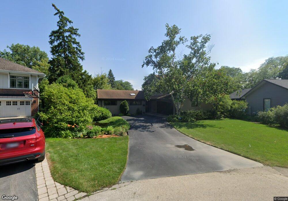
2319 Fir St Glenview, IL 60025
Estimated Value: $967,982 - $1,162,000
4
Beds
2
Baths
2,213
Sq Ft
$467/Sq Ft
Est. Value
About This Home
This home is located at 2319 Fir St, Glenview, IL 60025 and is currently estimated at $1,032,496, approximately $466 per square foot. 2319 Fir St is a home located in Cook County with nearby schools including Lyon Elementary School, Pleasant Ridge Elementary School, and Springman Middle School.
Ownership History
Date
Name
Owned For
Owner Type
Purchase Details
Closed on
Jul 30, 2021
Sold by
Anderson Kenneth Allen and Warren Richard Plunkett
Bought by
Anderson Kenneth Allen
Current Estimated Value
Purchase Details
Closed on
Jun 27, 2001
Sold by
Plunkett Warren R
Bought by
Revoca Plunkett Warren Richard and Warren Richard Plunkett Revocable Trust
Create a Home Valuation Report for This Property
The Home Valuation Report is an in-depth analysis detailing your home's value as well as a comparison with similar homes in the area
Home Values in the Area
Average Home Value in this Area
Purchase History
| Date | Buyer | Sale Price | Title Company |
|---|---|---|---|
| Anderson Kenneth Allen | -- | Accommodation | |
| Revoca Plunkett Warren Richard | -- | -- |
Source: Public Records
Tax History Compared to Growth
Tax History
| Year | Tax Paid | Tax Assessment Tax Assessment Total Assessment is a certain percentage of the fair market value that is determined by local assessors to be the total taxable value of land and additions on the property. | Land | Improvement |
|---|---|---|---|---|
| 2024 | $14,837 | $73,000 | $14,856 | $58,144 |
| 2023 | $14,378 | $73,000 | $14,856 | $58,144 |
| 2022 | $14,378 | $73,000 | $14,856 | $58,144 |
| 2021 | $8,274 | $39,238 | $12,070 | $27,168 |
| 2020 | $8,277 | $39,238 | $12,070 | $27,168 |
| 2019 | $7,706 | $43,119 | $12,070 | $31,049 |
| 2018 | $11,679 | $56,966 | $10,445 | $46,521 |
| 2017 | $11,392 | $56,966 | $10,445 | $46,521 |
| 2016 | $11,144 | $56,966 | $10,445 | $46,521 |
| 2015 | $10,305 | $47,769 | $8,356 | $39,413 |
| 2014 | $10,138 | $47,769 | $8,356 | $39,413 |
| 2013 | $9,805 | $47,769 | $8,356 | $39,413 |
Source: Public Records
Map
Nearby Homes
- 1088 Shermer Rd Unit DW
- 2137 Glenview Rd
- 2156 Rugen Rd Unit A
- 1900 E Lake Ave
- 1341 Greenwillow Ln Unit C
- 1220 Depot St Unit 305
- 1220 Depot St Unit 109
- 1220 Depot St Unit 409
- 1619 Patriot Blvd
- 2750 Langley Cir Unit 203013
- 1342 Pine St
- 1800 Dewes St Unit 305
- 1800 Dewes St Unit 201
- 1800 Dewes St Unit 309
- 1735 Patriot Blvd