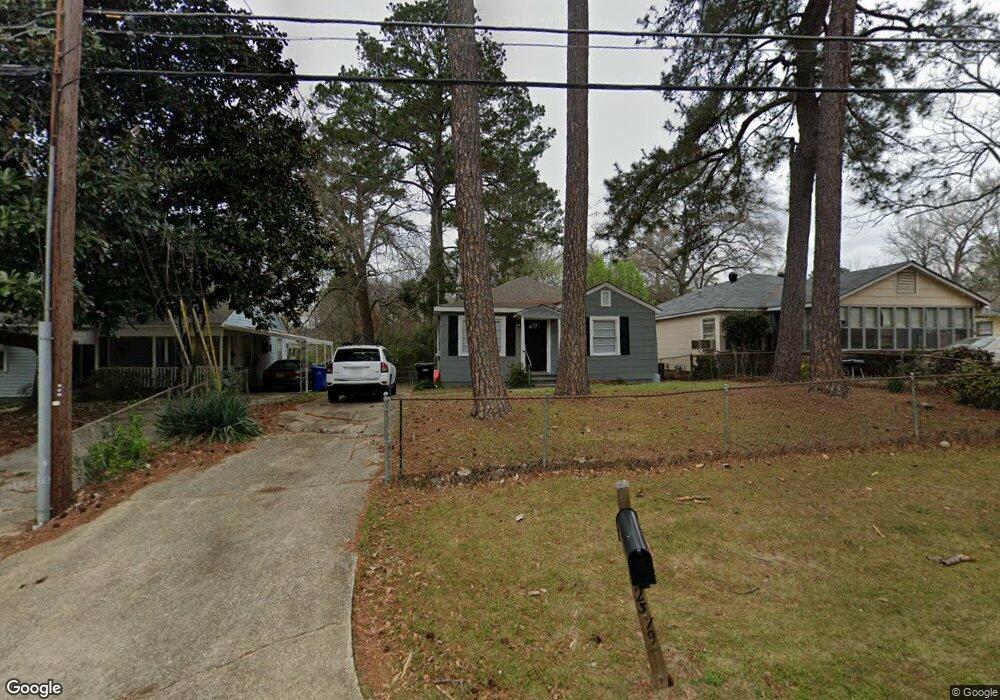
2319 Reese Rd Columbus, GA 31907
Eastern Columbus NeighborhoodEstimated Value: $75,098 - $112,000
2
Beds
1
Bath
952
Sq Ft
$98/Sq Ft
Est. Value
About This Home
This home is located at 2319 Reese Rd, Columbus, GA 31907 and is currently estimated at $93,525, approximately $98 per square foot. 2319 Reese Rd is a home located in Muscogee County with nearby schools including Gentian Elementary School, Fort Middle School, and Hardaway High School.
Ownership History
Date
Name
Owned For
Owner Type
Purchase Details
Closed on
Sep 12, 2022
Sold by
Nyahwa Properties Llc
Bought by
Sfr3-080 Llc
Current Estimated Value
Create a Home Valuation Report for This Property
The Home Valuation Report is an in-depth analysis detailing your home's value as well as a comparison with similar homes in the area
Home Values in the Area
Average Home Value in this Area
Purchase History
| Date | Buyer | Sale Price | Title Company |
|---|---|---|---|
| Sfr3-080 Llc | $50,000 | New Title Company Name | |
| Nyahwa Properties Llc | $46,000 | New Title Company Name |
Source: Public Records
Tax History Compared to Growth
Tax History
| Year | Tax Paid | Tax Assessment Tax Assessment Total Assessment is a certain percentage of the fair market value that is determined by local assessors to be the total taxable value of land and additions on the property. | Land | Improvement |
|---|---|---|---|---|
| 2025 | $1,059 | $27,044 | $9,304 | $17,740 |
| 2024 | $1,059 | $27,044 | $9,304 | $17,740 |
| 2023 | $939 | $35,780 | $9,304 | $26,476 |
| 2022 | $973 | $23,828 | $6,976 | $16,852 |
| 2021 | $935 | $22,908 | $6,976 | $15,932 |
| 2020 | $936 | $22,908 | $6,976 | $15,932 |
| 2019 | $939 | $22,908 | $6,976 | $15,932 |
| 2018 | $939 | $22,908 | $6,976 | $15,932 |
| 2017 | $942 | $22,908 | $6,976 | $15,932 |
| 2016 | $1,207 | $29,270 | $2,166 | $27,104 |
| 2015 | $1,209 | $29,270 | $2,166 | $27,104 |
| 2014 | $1,210 | $29,270 | $2,166 | $27,104 |
| 2013 | -- | $29,270 | $2,166 | $27,104 |
Source: Public Records
Map
Nearby Homes
- 4268 Yates Dr
- 4237 Fort St
- 4248 Yates Dr
- 4332 Fay Dr
- 4312 Old MacOn Rd Unit 6
- 4201 Forrest Rd
- 911 Lamore St
- 4161 Althea Dr
- 2608 Juniper Ave
- 4160 Spirea Dr
- 2661 Fernwood Ave
- 2821 Barbara Rd
- 4330 Wilson St
- 2622 Natchez Dr
- 2871 Barbara Rd
- 2879 Grant Rd
- 1918 Watkins Dr
- 1674 Forestside Dr
- 3875 Mulberry Dr
- 4317 Byron St