231B Tickle Rd Westport, MA 02790
North Westport NeighborhoodEstimated Value: $398,000 - $544,000
3
Beds
--
Bath
1,808
Sq Ft
$260/Sq Ft
Est. Value
About This Home
This home is located at 231B Tickle Rd, Westport, MA 02790 and is currently estimated at $469,900, approximately $259 per square foot. 231B Tickle Rd is a home located in Bristol County with nearby schools including Alice A. Macomber Primary School, Westport Elementary School, and Westport Middle-High School.
Ownership History
Date
Name
Owned For
Owner Type
Purchase Details
Closed on
Mar 14, 2025
Sold by
Dore Cheryl
Bought by
Oagles Derek and Reyes Danelyn O
Current Estimated Value
Home Financials for this Owner
Home Financials are based on the most recent Mortgage that was taken out on this home.
Original Mortgage
$415,000
Outstanding Balance
$412,553
Interest Rate
6.95%
Mortgage Type
Purchase Money Mortgage
Estimated Equity
$57,347
Create a Home Valuation Report for This Property
The Home Valuation Report is an in-depth analysis detailing your home's value as well as a comparison with similar homes in the area
Home Values in the Area
Average Home Value in this Area
Purchase History
| Date | Buyer | Sale Price | Title Company |
|---|---|---|---|
| Oagles Derek | $415,000 | None Available | |
| Oagles Derek | $415,000 | None Available |
Source: Public Records
Mortgage History
| Date | Status | Borrower | Loan Amount |
|---|---|---|---|
| Open | Oagles Derek | $415,000 | |
| Closed | Oagles Derek | $415,000 |
Source: Public Records
Tax History Compared to Growth
Tax History
| Year | Tax Paid | Tax Assessment Tax Assessment Total Assessment is a certain percentage of the fair market value that is determined by local assessors to be the total taxable value of land and additions on the property. | Land | Improvement |
|---|---|---|---|---|
| 2025 | $3,182 | $427,100 | $186,600 | $240,500 |
| 2024 | $3,045 | $393,900 | $163,000 | $230,900 |
| 2023 | $2,864 | $351,000 | $136,400 | $214,600 |
| 2022 | $2,479 | $292,300 | $127,000 | $165,300 |
| 2021 | $2,321 | $269,200 | $115,500 | $153,700 |
| 2020 | $2,231 | $264,600 | $110,900 | $153,700 |
| 2019 | $2,331 | $281,900 | $139,800 | $142,100 |
| 2018 | $2,075 | $254,000 | $138,500 | $115,500 |
| 2017 | $2,063 | $258,900 | $138,500 | $120,400 |
| 2016 | $2,007 | $253,700 | $133,300 | $120,400 |
Source: Public Records
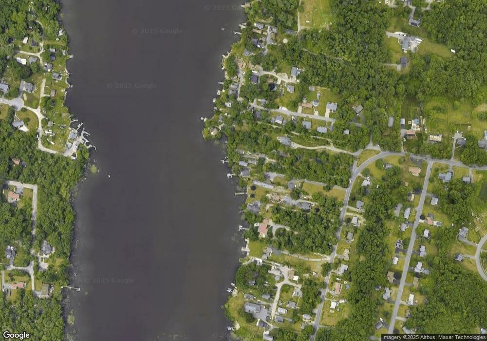
Map
Nearby Homes
- 219 Tickle Rd
- 51 Newton St
- 0 Tickle Rd Unit 73453134
- 100 Cory's Ln
- 100 Corys Ln
- 33 Moniz Dr
- 75 Montgomery St
- 47 Devol Ave
- 14 Glendale Ave
- 40 Robert St
- 1125 Stafford Rd Unit 5
- 218 American Legion Hwy
- 71 Blackbird St
- 8 Campion Ave
- 9 Blackbird St
- 447 Stafford Rd Unit E7
- 447 Stafford Rd Unit E4
- 447 Stafford Rd Unit C4
- 37 Bluejay St
- 84 Lark Ln