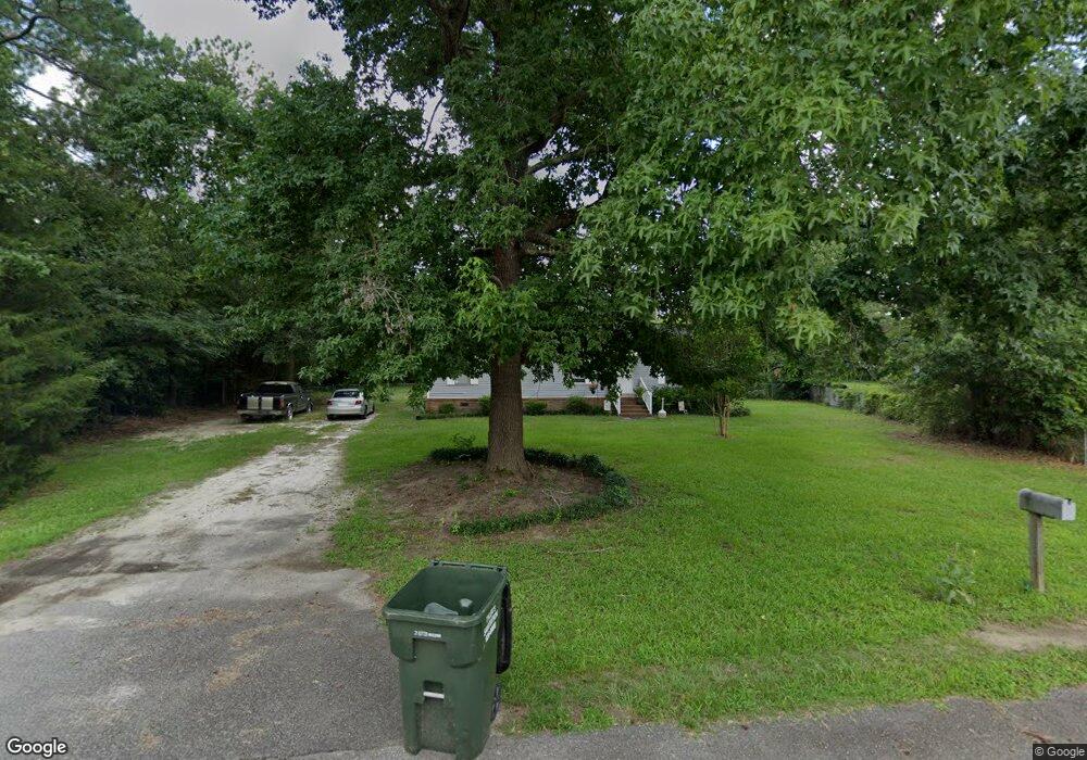
232 Adkins Cir West Columbia, SC 29172
Pine Ridge NeighborhoodEstimated Value: $151,000 - $220,000
3
Beds
2
Baths
1,248
Sq Ft
$150/Sq Ft
Est. Value
About This Home
This home is located at 232 Adkins Cir, West Columbia, SC 29172 and is currently estimated at $187,276, approximately $150 per square foot. 232 Adkins Cir is a home located in Lexington County with nearby schools including Herbert A. Wood Elementary School, Pine Ridge Middle School, and Airport High School.
Ownership History
Date
Name
Owned For
Owner Type
Purchase Details
Closed on
Sep 28, 2011
Sold by
Brazell Diana M
Bought by
Phillips Defay D
Current Estimated Value
Purchase Details
Closed on
Aug 23, 2006
Sold by
Fannie Mae
Bought by
Brazell Diana M
Purchase Details
Closed on
May 26, 2006
Sold by
Driggers Dawn M and Chase Home Finance Llc
Bought by
Federal National Mortgage Association
Purchase Details
Closed on
Feb 16, 2001
Sold by
Griffin Donald
Bought by
Driggers Dawn M
Create a Home Valuation Report for This Property
The Home Valuation Report is an in-depth analysis detailing your home's value as well as a comparison with similar homes in the area
Home Values in the Area
Average Home Value in this Area
Purchase History
| Date | Buyer | Sale Price | Title Company |
|---|---|---|---|
| Phillips Defay D | -- | -- | |
| Brazell Diana M | -- | None Available | |
| Federal National Mortgage Association | $2,500 | None Available | |
| Driggers Dawn M | $47,900 | -- |
Source: Public Records
Tax History Compared to Growth
Tax History
| Year | Tax Paid | Tax Assessment Tax Assessment Total Assessment is a certain percentage of the fair market value that is determined by local assessors to be the total taxable value of land and additions on the property. | Land | Improvement |
|---|---|---|---|---|
| 2024 | $1,222 | $3,541 | $932 | $2,609 |
| 2023 | $1,222 | $3,541 | $932 | $2,609 |
| 2022 | $1,142 | $3,541 | $932 | $2,609 |
| 2020 | $341 | $1,095 | $932 | $163 |
| 2019 | $297 | $952 | $810 | $142 |
| 2018 | $295 | $952 | $810 | $142 |
| 2017 | $290 | $952 | $810 | $142 |
| 2016 | $293 | $951 | $810 | $141 |
| 2014 | $217 | $828 | $708 | $120 |
| 2013 | -- | $830 | $710 | $120 |
Source: Public Records
Map
Nearby Homes
- 1020 Reynord Cir
- 0 Hyland Cir
- 1502 Pine St
- 120 Long Iron Ct
- 156 Long Iron Ct
- 204 Long Iron Ct
- 208 Long Iron Ct
- 212 Long Iron Ct
- 216 Long Iron Ct
- 220 Long Iron Ct
- 245 Long Iron Ct
- 0 Gerrie Ln
- 2015 Valley View Rd
- 141 Shumpert Rd
- 469 Granny Ln
- 520 Green St
- 160 Partridge Hill Dr
- 0 73 Acres Charleston Hwy
- 189 Caballeros Trail
- 130 Mary Dr