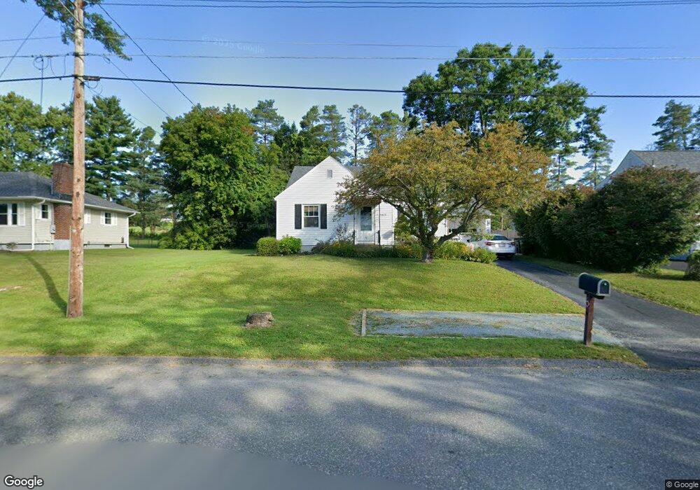
232 Allengate Ave Pittsfield, MA 01201
Estimated Value: $275,000 - $313,000
2
Beds
1
Bath
1,458
Sq Ft
$200/Sq Ft
Est. Value
About This Home
This home is located at 232 Allengate Ave, Pittsfield, MA 01201 and is currently estimated at $291,106, approximately $199 per square foot. 232 Allengate Ave is a home located in Berkshire County with nearby schools including Allendale Elementary School, Theodore Herberg Middle School, and Pittsfield High School.
Ownership History
Date
Name
Owned For
Owner Type
Purchase Details
Closed on
Oct 19, 2004
Sold by
Burns Frances E and Treacy Tara
Bought by
Leon Gerald R
Current Estimated Value
Home Financials for this Owner
Home Financials are based on the most recent Mortgage that was taken out on this home.
Original Mortgage
$144,400
Interest Rate
5.8%
Mortgage Type
Purchase Money Mortgage
Create a Home Valuation Report for This Property
The Home Valuation Report is an in-depth analysis detailing your home's value as well as a comparison with similar homes in the area
Home Values in the Area
Average Home Value in this Area
Purchase History
| Date | Buyer | Sale Price | Title Company |
|---|---|---|---|
| Leon Gerald R | $152,000 | -- | |
| Leon Gerald R | $152,000 | -- | |
| Leon Gerald R | $152,000 | -- |
Source: Public Records
Mortgage History
| Date | Status | Borrower | Loan Amount |
|---|---|---|---|
| Open | Leon Gerald R | $134,200 | |
| Closed | Leon Gerald R | $144,400 |
Source: Public Records
Tax History
| Year | Tax Paid | Tax Assessment Tax Assessment Total Assessment is a certain percentage of the fair market value that is determined by local assessors to be the total taxable value of land and additions on the property. | Land | Improvement |
|---|---|---|---|---|
| 2025 | $4,767 | $265,700 | $69,200 | $196,500 |
| 2024 | $4,360 | $236,300 | $69,200 | $167,100 |
| 2023 | $4,054 | $221,300 | $69,200 | $152,100 |
| 2022 | $3,647 | $196,500 | $64,300 | $132,200 |
| 2021 | $3,305 | $171,700 | $64,300 | $107,400 |
| 2020 | $3,057 | $155,100 | $51,400 | $103,700 |
| 2019 | $2,810 | $144,700 | $47,500 | $97,200 |
| 2018 | $2,849 | $142,400 | $47,500 | $94,900 |
| 2017 | $2,766 | $140,900 | $49,500 | $91,400 |
| 2016 | $2,662 | $141,900 | $49,500 | $92,400 |
| 2015 | $2,563 | $141,900 | $49,500 | $92,400 |
Source: Public Records
Map
Nearby Homes
- 123 Broadview Terrace
- 121 Elberon Ave
- 96 Broadview Terrace
- 36 Pittsfield Ave
- 0 Stanley Ave
- 21 Ensign Ave
- 74 Norman Ave
- 156 Draper Ave
- 40 Roland St
- 258 Dalton Ave
- 326 Dalton Ave
- 71 Dickinson Ave
- 81 Dartmouth St Unit 108
- 91 Dalton Ave
- I11001904 Scammell Ave
- 0 Faucett Ln
- 0 Brown St
- 607 Crane Ave
- 0 Parker St
- 5 Marco Dr
- 226 Allengate Ave
- 238 Allengate Ave
- 222 Allengate Ave
- 177 Brighton Ave
- 246 Allengate Ave
- 218 Allengate Ave
- 186 Ridgeway Ave
- 173 Brighton Ave
- 252 Allengate Ave
- 214 Allengate Ave
- 180 Ridgeway Ave
- 176 Brighton Ave
- 169 Brighton Ave
- 258 Allengate Ave
- 210 Allengate Ave
- 172 Ridgeway Ave
- 165 Brighton Ave
- 262 Allengate Ave
- 206 Allengate Ave
- 168 Brighton Ave
Your Personal Tour Guide
Ask me questions while you tour the home.