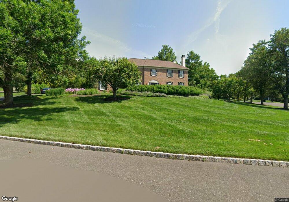
232 Amherst Dr Unit 13 Doylestown, PA 18901
Estimated Value: $828,000 - $1,033,417
4
Beds
3
Baths
3,292
Sq Ft
$291/Sq Ft
Est. Value
About This Home
This home is located at 232 Amherst Dr Unit 13, Doylestown, PA 18901 and is currently estimated at $957,604, approximately $290 per square foot. 232 Amherst Dr Unit 13 is a home located in Bucks County with nearby schools including Groveland Elementary School, Tohickon Middle School, and Central Bucks High School-West.
Ownership History
Date
Name
Owned For
Owner Type
Purchase Details
Closed on
May 23, 1994
Sold by
Doylestown Ridge Inc
Bought by
Zorzi Kenneth B and Zorzi Christine B
Current Estimated Value
Home Financials for this Owner
Home Financials are based on the most recent Mortgage that was taken out on this home.
Original Mortgage
$200,000
Interest Rate
8.49%
Create a Home Valuation Report for This Property
The Home Valuation Report is an in-depth analysis detailing your home's value as well as a comparison with similar homes in the area
Home Values in the Area
Average Home Value in this Area
Purchase History
| Date | Buyer | Sale Price | Title Company |
|---|---|---|---|
| Zorzi Kenneth B | $321,442 | -- |
Source: Public Records
Mortgage History
| Date | Status | Borrower | Loan Amount |
|---|---|---|---|
| Previous Owner | Zorzi Kenneth B | $200,000 |
Source: Public Records
Tax History Compared to Growth
Tax History
| Year | Tax Paid | Tax Assessment Tax Assessment Total Assessment is a certain percentage of the fair market value that is determined by local assessors to be the total taxable value of land and additions on the property. | Land | Improvement |
|---|---|---|---|---|
| 2025 | $12,711 | $71,830 | $11,840 | $59,990 |
| 2024 | $12,711 | $71,830 | $11,840 | $59,990 |
| 2023 | $12,121 | $71,830 | $11,840 | $59,990 |
| 2022 | $11,986 | $71,830 | $11,840 | $59,990 |
| 2021 | $11,739 | $71,830 | $11,840 | $59,990 |
| 2020 | $11,685 | $71,830 | $11,840 | $59,990 |
| 2019 | $11,559 | $71,830 | $11,840 | $59,990 |
| 2018 | $11,523 | $71,830 | $11,840 | $59,990 |
| 2017 | $11,434 | $71,830 | $11,840 | $59,990 |
| 2016 | $11,362 | $71,830 | $11,840 | $59,990 |
| 2015 | -- | $71,830 | $11,840 | $59,990 |
| 2014 | -- | $71,830 | $11,840 | $59,990 |
Source: Public Records
Map
Nearby Homes
- 301 Windy Run Rd
- 3711 Jacob Stout Rd Unit 5
- 3723 William Daves Rd
- 100 Bishops Gate Ln Unit 67
- 3765 William Daves Rd
- 114 Blackfriars Cir
- 194 Victoria Ct Unit 143
- 4748 Bishop Cir
- 3838 Jacob Stout Rd
- 5437 Rinker Cir Unit 283
- 3923 Ferry Rd
- 62 Constitution Ave
- 157 Pine Run Rd
- 1 Gatehouse Ln
- 90 Chapman Ave
- 4 Old Colonial Dr Unit 254
- 418 North St
- 4263 Kleinot Dr
- 4317 Kleinot Dr
- 4464 Kleinot Dr
- 317 Windy Run Rd
- 233 Amherst Dr
- 234 Amherst Dr
- 231 Amherst Dr
- 310 Windy Run Rd
- 319 Windy Run Rd
- 312 Windy Run Rd
- 236 Amherst Dr
- 316 Windy Run Rd
- 318 Windy Run Rd
- 308 Windy Run Rd
- 320 Windy Run Rd
- 321 Windy Run Rd
- 200 Southwind Dr
- 202 Southwind Dr
- 339 Windy Run Rd
- 341 Windy Run Rd
- 306 Windy Run Rd
- 500 Old Dublin Pike
- 204 Southwind Dr