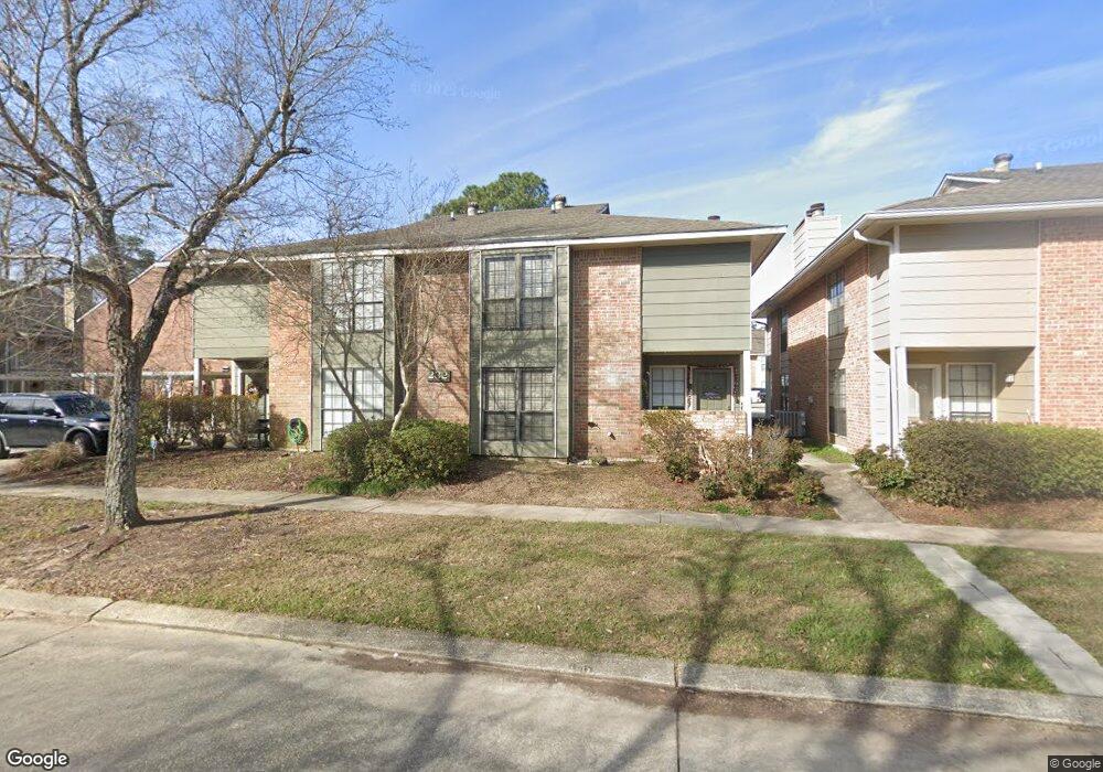
232 Antrim Dr Unit 21 C Baton Rouge, LA 70815
Broadmoor/Sherwood NeighborhoodEstimated Value: $82,689 - $108,000
2
Beds
3
Baths
1,200
Sq Ft
$80/Sq Ft
Est. Value
About This Home
This home is located at 232 Antrim Dr Unit 21 C, Baton Rouge, LA 70815 and is currently estimated at $96,422, approximately $80 per square foot. 232 Antrim Dr Unit 21 C is a home located in East Baton Rouge Parish with nearby schools including Broadmoor Elementary School, Southeast Middle School, and Broadmoor Senior High School.
Ownership History
Date
Name
Owned For
Owner Type
Purchase Details
Closed on
Feb 12, 1999
Sold by
Yoches Nikki Renee
Bought by
Lee Thomas
Current Estimated Value
Home Financials for this Owner
Home Financials are based on the most recent Mortgage that was taken out on this home.
Original Mortgage
$50,000
Outstanding Balance
$11,946
Interest Rate
6.85%
Mortgage Type
Purchase Money Mortgage
Estimated Equity
$84,476
Create a Home Valuation Report for This Property
The Home Valuation Report is an in-depth analysis detailing your home's value as well as a comparison with similar homes in the area
Home Values in the Area
Average Home Value in this Area
Purchase History
| Date | Buyer | Sale Price | Title Company |
|---|---|---|---|
| Lee Thomas | $44,000 | -- |
Source: Public Records
Mortgage History
| Date | Status | Borrower | Loan Amount |
|---|---|---|---|
| Open | Lee Thomas | $50,000 |
Source: Public Records
Tax History Compared to Growth
Tax History
| Year | Tax Paid | Tax Assessment Tax Assessment Total Assessment is a certain percentage of the fair market value that is determined by local assessors to be the total taxable value of land and additions on the property. | Land | Improvement |
|---|---|---|---|---|
| 2024 | $1,025 | $8,750 | $500 | $8,250 |
| 2023 | $1,025 | $7,500 | $500 | $7,000 |
| 2022 | $896 | $7,500 | $500 | $7,000 |
| 2021 | $875 | $7,500 | $500 | $7,000 |
| 2020 | $869 | $7,500 | $500 | $7,000 |
| 2019 | $908 | $7,500 | $500 | $7,000 |
| 2018 | $897 | $7,500 | $500 | $7,000 |
| 2017 | $897 | $7,500 | $500 | $7,000 |
| 2016 | $875 | $7,500 | $500 | $7,000 |
| 2015 | $875 | $7,500 | $500 | $7,000 |
| 2014 | $872 | $7,500 | $500 | $7,000 |
| 2013 | -- | $7,500 | $500 | $7,000 |
Source: Public Records
Map
Nearby Homes
- 279 Marilyn Dr Unit 12
- 279 Marilyn Dr Unit 17
- 155 Marilyn Dr Unit 44A
- 155 46C Marilyn Dr Unit 46-B
- 155 46C Marilyn Dr Unit 46-F
- 155 46C Marilyn Dr Unit 46-C
- 635 Marilyn Dr
- 10060 Karen Dr
- 220 Mcgehee Dr
- 10716 Shermoor Dr
- 10724 Mollylea Dr
- 437 Cora Dr
- 10625 Florida Blvd Unit 29
- 10351 N Harvey Dr
- 10173 Parkview Dr
- 10624 N Harvey Dr
- 10431 Goodwood Blvd
- 1340 Hermosa Dr
- 864 Harvey Dr
- 10588 Goodwood Blvd
- 232 Antrim Dr
- 232 Antrim Dr Unit C
- 232 Antrim Dr Unit B
- 232 Antrim Dr Unit D
- 222 Antrim Dr Unit D
- 222 Antrim Dr Unit C
- 222 Antrim Dr Unit B
- 222 Antrim Dr Unit A
- 242 Antrim Dr Unit D
- 242 Antrim Dr Unit C
- 242 Antrim Dr Unit B
- 212 Antrim Dr Unit D
- 212 Antrim Dr Unit C
- 212 Antrim Dr Unit B
- 212 Antrim Dr Unit A
- 212 Antrim Dr
- 212 Antrim Dr
- 21 Antrim Dr Unit 211B
- 10157 Cashel Ave Unit D
- 10157 Cashel Ave Unit B