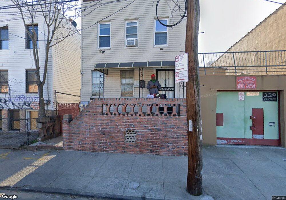
232 Ashford St Brooklyn, NY 11207
East New York NeighborhoodEstimated Value: $372,000 - $1,150,000
--
Bed
--
Bath
1,512
Sq Ft
$506/Sq Ft
Est. Value
About This Home
This home is located at 232 Ashford St, Brooklyn, NY 11207 and is currently estimated at $765,528, approximately $506 per square foot. 232 Ashford St is a home located in Kings County with nearby schools including P.S. 158 Warwick, Vista Academy, and Liberty Avenue Middle School.
Ownership History
Date
Name
Owned For
Owner Type
Purchase Details
Closed on
Sep 18, 2025
Sold by
Giamundo Maria and The Estate Of Maria Giamundo
Bought by
Carryl-St. Louis Carloter
Current Estimated Value
Home Financials for this Owner
Home Financials are based on the most recent Mortgage that was taken out on this home.
Original Mortgage
$402,000
Outstanding Balance
$402,000
Interest Rate
6.58%
Mortgage Type
Purchase Money Mortgage
Estimated Equity
$363,528
Purchase Details
Closed on
Jan 22, 2018
Sold by
Giamundo Salvatore
Bought by
Carryl-St Louis Carloter
Create a Home Valuation Report for This Property
The Home Valuation Report is an in-depth analysis detailing your home's value as well as a comparison with similar homes in the area
Home Values in the Area
Average Home Value in this Area
Purchase History
| Date | Buyer | Sale Price | Title Company |
|---|---|---|---|
| Carryl-St. Louis Carloter | $362,500 | -- | |
| Carryl-St Louis Carloter | $100,000 | -- |
Source: Public Records
Mortgage History
| Date | Status | Borrower | Loan Amount |
|---|---|---|---|
| Open | Carryl-St. Louis Carloter | $402,000 |
Source: Public Records
Tax History Compared to Growth
Tax History
| Year | Tax Paid | Tax Assessment Tax Assessment Total Assessment is a certain percentage of the fair market value that is determined by local assessors to be the total taxable value of land and additions on the property. | Land | Improvement |
|---|---|---|---|---|
| 2025 | $2,374 | $51,420 | $11,580 | $39,840 |
| 2024 | $2,374 | $46,500 | $11,580 | $34,920 |
| 2023 | $2,255 | $43,200 | $11,580 | $31,620 |
| 2022 | $2,073 | $36,420 | $11,580 | $24,840 |
| 2021 | $2,056 | $28,740 | $11,580 | $17,160 |
| 2020 | $1,542 | $27,720 | $11,580 | $16,140 |
| 2019 | $1,531 | $27,720 | $11,580 | $16,140 |
| 2018 | $2,180 | $10,419 | $4,519 | $5,900 |
| 2016 | $1,552 | $9,313 | $3,824 | $5,489 |
| 2015 | $901 | $9,304 | $3,802 | $5,502 |
| 2014 | $901 | $9,180 | $4,497 | $4,683 |
Source: Public Records
Map
Nearby Homes
- 253 Ashford St
- 278 Ashford St
- 599 Liberty Ave
- 597 Liberty Ave
- 295 Ashford St
- 633 Glenmore Ave
- 221 Barbey St
- 323 Barbey St
- 206 Elton St
- 400 Linwood St
- 2880 Fulton St
- 389 Warwick St
- 399 Linwood St
- 202 Schenck Ave
- 349 Elton St
- 2825 Atlantic Ave
- 126 Jerome St
- 2321 Pitkin Ave
- 2830 Fulton St
- 303 Hendrix St
- 236 Ashford St
- 220-226 Ashford St
- 244 Ashford St
- 289 Warwick St
- 287 Warwick St
- 285 Warwick St
- 291 Warwick St
- 249 Ashford St
- 2916 Atlantic Ave
- 2926 Atlantic Ave
- 2932 Atlantic Ave
- 2930 Atlantic Ave
- 218 Ashford St
- 2928 Atlantic Ave
- 2912 Atlantic Ave
- 647 Liberty Ave
- 651 Liberty Ave
- 247 Ashford St
- 653 Liberty Ave