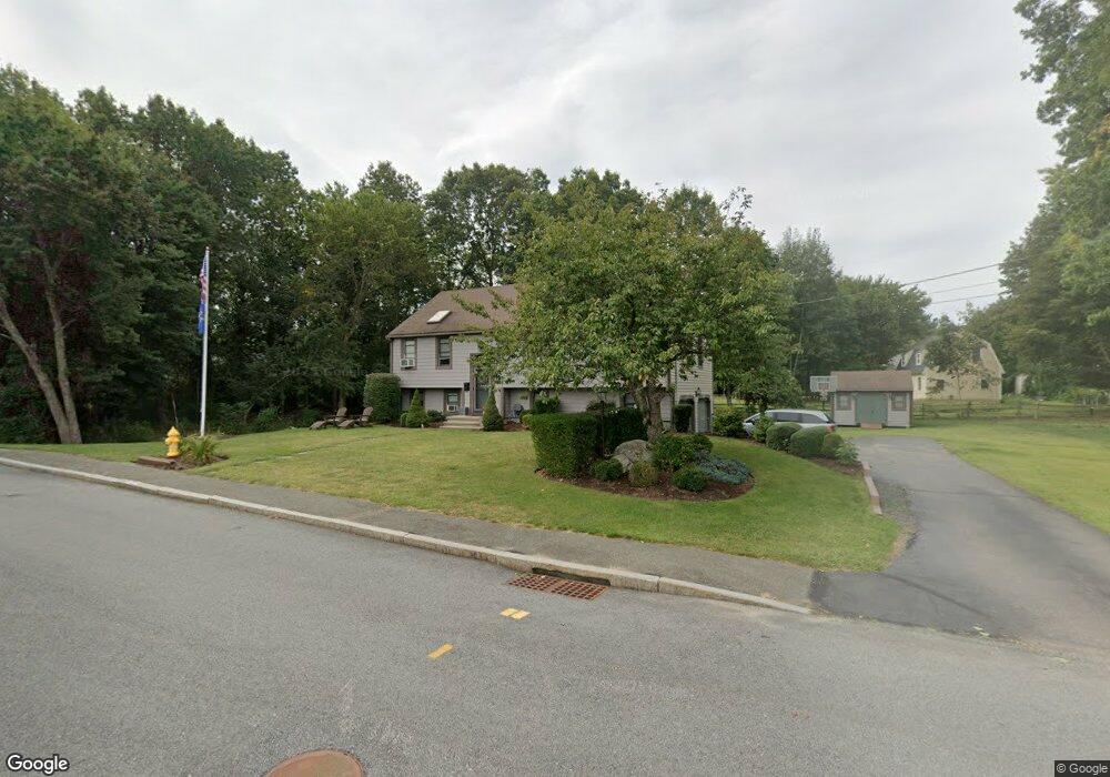
232 Bellows Cir Abington, MA 02351
Estimated Value: $571,000 - $644,000
3
Beds
2
Baths
1,196
Sq Ft
$508/Sq Ft
Est. Value
About This Home
This home is located at 232 Bellows Cir, Abington, MA 02351 and is currently estimated at $607,642, approximately $508 per square foot. 232 Bellows Cir is a home located in Plymouth County with nearby schools including Beaver Brook Elementary School, Abington Middle School, and Woodsdale School.
Ownership History
Date
Name
Owned For
Owner Type
Purchase Details
Closed on
Sep 16, 2015
Sold by
Ralph E Perone Ft
Bought by
Chaisty Kevin J and Chaisty Lauren E
Current Estimated Value
Home Financials for this Owner
Home Financials are based on the most recent Mortgage that was taken out on this home.
Original Mortgage
$376,062
Outstanding Balance
$300,220
Interest Rate
4.4%
Mortgage Type
FHA
Estimated Equity
$307,422
Purchase Details
Closed on
Nov 17, 2011
Sold by
Perone Ralph E
Bought by
Ralph E Perone Ft
Purchase Details
Closed on
Dec 31, 1993
Sold by
Sdi Sterling Corp
Bought by
Perone Ralph E
Home Financials for this Owner
Home Financials are based on the most recent Mortgage that was taken out on this home.
Original Mortgage
$110,000
Interest Rate
7%
Mortgage Type
Purchase Money Mortgage
Create a Home Valuation Report for This Property
The Home Valuation Report is an in-depth analysis detailing your home's value as well as a comparison with similar homes in the area
Home Values in the Area
Average Home Value in this Area
Purchase History
| Date | Buyer | Sale Price | Title Company |
|---|---|---|---|
| Chaisty Kevin J | $383,000 | -- | |
| Ralph E Perone Ft | -- | -- | |
| Perone Ralph E | $169,000 | -- |
Source: Public Records
Mortgage History
| Date | Status | Borrower | Loan Amount |
|---|---|---|---|
| Open | Chaisty Kevin J | $376,062 | |
| Previous Owner | Perone Ralph E | $110,000 |
Source: Public Records
Tax History
| Year | Tax Paid | Tax Assessment Tax Assessment Total Assessment is a certain percentage of the fair market value that is determined by local assessors to be the total taxable value of land and additions on the property. | Land | Improvement |
|---|---|---|---|---|
| 2025 | $7,252 | $555,300 | $272,700 | $282,600 |
| 2024 | $6,912 | $516,600 | $248,800 | $267,800 |
| 2023 | $6,667 | $469,200 | $227,100 | $242,100 |
| 2022 | $6,268 | $411,800 | $190,800 | $221,000 |
| 2021 | $7,146 | $362,400 | $174,700 | $187,700 |
| 2020 | $6,125 | $360,300 | $175,900 | $184,400 |
| 2019 | $5,973 | $343,500 | $169,000 | $174,500 |
| 2018 | $4 | $322,500 | $169,000 | $153,500 |
| 2017 | $5,709 | $311,100 | $169,000 | $142,100 |
| 2016 | $4,963 | $276,800 | $154,800 | $122,000 |
| 2015 | $4,631 | $272,400 | $154,800 | $117,600 |
Source: Public Records
Map
Nearby Homes
- 73 Monroe St
- 34 Park Ave
- 0 W Water St
- 340 Centre Ave Unit 44
- 225 W Water St
- 135 Grove St Unit 123
- 135 Grove St Unit 115
- 135 Grove St Unit 133
- 0 Bedford St
- 119 Grove St Unit 234
- 103 Grove St Unit 349
- 1353 Washington St
- 10 Bank St
- 338 Adams St
- 9 Bank St
- 50 Linden Park
- 56 Townsend St Unit D26
- 40 Bedford St
- 191 Summer St
- 11 Chestnut Cir
- 188 Bellows Cir
- 223 Bellows Cir
- 392 Plymouth St
- 25 Bellows Cir
- 215 Bellows Cir
- 17 Bellows Cir
- 390 Plymouth St
- 420 Plymouth St
- 103 Central St
- 205 Bellows Cir
- 376 Plymouth St
- 26 Bellows Cir
- 430 Plymouth St
- 18 Bellows Cir
- 43 Bellows Cir
- 524 Adams (Rte 58 Near S Wey)
- 97 Central St
- 370 Plymouth St
- 377 Plymouth St
- 438 Plymouth St
Your Personal Tour Guide
Ask me questions while you tour the home.