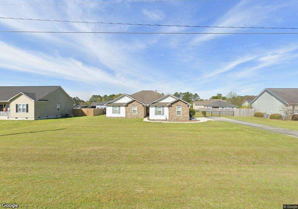
232 Burnside Rd Fitzgerald, GA 31750
Estimated Value: $237,000 - $279,000
5
Beds
2
Baths
1,927
Sq Ft
$133/Sq Ft
Est. Value
About This Home
This home is located at 232 Burnside Rd, Fitzgerald, GA 31750 and is currently estimated at $256,176, approximately $132 per square foot. 232 Burnside Rd is a home with nearby schools including Ben Hill County Primary School, Ben Hill Elementary School, and Ben Hill County Middle School.
Ownership History
Date
Name
Owned For
Owner Type
Purchase Details
Closed on
Apr 23, 2010
Sold by
E Allen Peacock Construction Co
Bought by
Hudson Lillian K
Current Estimated Value
Purchase Details
Closed on
Apr 9, 2007
Sold by
Johnston Winifred White
Bought by
E Allen Peacock Construction Co
Purchase Details
Closed on
Jul 30, 1999
Sold by
White and P
Bought by
Johnston Winifred White
Create a Home Valuation Report for This Property
The Home Valuation Report is an in-depth analysis detailing your home's value as well as a comparison with similar homes in the area
Purchase History
| Date | Buyer | Sale Price | Title Company |
|---|---|---|---|
| Hudson Lillian K | $135,500 | -- | |
| E Allen Peacock Construction Co | $39,000 | -- | |
| Johnston Winifred White | -- | -- |
Source: Public Records
Tax History
| Year | Tax Paid | Tax Assessment Tax Assessment Total Assessment is a certain percentage of the fair market value that is determined by local assessors to be the total taxable value of land and additions on the property. | Land | Improvement |
|---|---|---|---|---|
| 2025 | $2,793 | $107,054 | $4,800 | $102,254 |
| 2024 | $2,477 | $92,772 | $4,800 | $87,972 |
| 2023 | $1,842 | $90,085 | $4,800 | $85,285 |
| 2022 | $1,989 | $72,149 | $2,000 | $70,149 |
| 2021 | $1,745 | $62,787 | $2,400 | $60,387 |
| 2020 | $1,739 | $62,032 | $2,400 | $59,632 |
| 2019 | $1,732 | $62,032 | $2,400 | $59,632 |
| 2018 | $1,840 | $55,598 | $2,400 | $53,198 |
| 2017 | $1,495 | $54,972 | $2,400 | $52,572 |
| 2016 | $1,428 | $54,972 | $2,400 | $52,572 |
| 2015 | -- | $52,499 | $2,400 | $50,099 |
| 2014 | -- | $51,510 | $2,400 | $49,110 |
Source: Public Records
Map
Nearby Homes
- 225 Meadowlark Ln
- 152 Meadowlark Ln
- 102 David Dr
- 152 David Dr
- 109 Ruby Rd
- 192 Newcomer Trail
- 0 Benjamin H Hill Dr Unit 21545626
- 1159 W Roanoke Dr
- 108 Newcomer Trail
- 114 Creole Ct
- 277 Lincoln Ave Unit 118
- 277 Lincoln Ave
- 249 Lincoln Ave
- 160 Lakeview Dr
- 146 Bay Meadows Cir
- 1211 W Roanoke Drive Extension
- 0 Irwinville Hwy
- 107 Manassas Place
- 650 Benjamin H Hill Dr
- 200 Irwinville Hwy
- 236 Burnside Rd
- 224 Burnside Rd
- 188 Burnside Rd
- 233 Burnside Rd
- 170 Burnside Rd
- 290 Burnside Rd
- 229 Burnside Rd
- 244 Burnside Rd
- 230 Burnside Rd
- 183 Burnside Rd
- 248 Burnside Rd
- 216 Burnside Rd
- 221 Burnside Rd
- 200 Burnside Rd
- 164 Burnside Rd
- 179 Burnside Rd Unit 5
- 179 Burnside Rd
- 252 Burnside Rd
- 187 Burnside Rd
- 160 Burnside Rd
Your Personal Tour Guide
Ask me questions while you tour the home.