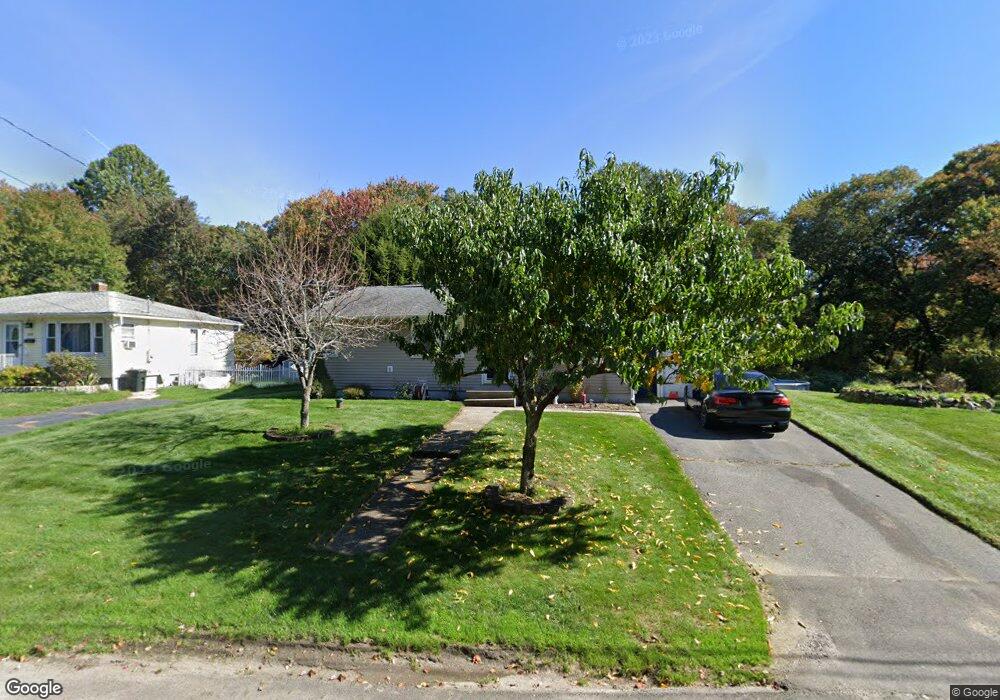
232 Celia Dr Wolcott, CT 06705
Estimated Value: $274,000 - $308,000
3
Beds
2
Baths
936
Sq Ft
$314/Sq Ft
Est. Value
About This Home
This home is located at 232 Celia Dr, Wolcott, CT 06705 and is currently estimated at $293,991, approximately $314 per square foot. 232 Celia Dr is a home located in New Haven County with nearby schools including Tyrrell Middle School and Wolcott High School.
Ownership History
Date
Name
Owned For
Owner Type
Purchase Details
Closed on
Jul 22, 2002
Sold by
Swircenski Lori A
Bought by
Dossantos Anna M
Current Estimated Value
Home Financials for this Owner
Home Financials are based on the most recent Mortgage that was taken out on this home.
Original Mortgage
$122,003
Interest Rate
6.73%
Purchase Details
Closed on
May 31, 1995
Sold by
Wright Doris S Est
Bought by
Swircenski Lori A
Home Financials for this Owner
Home Financials are based on the most recent Mortgage that was taken out on this home.
Original Mortgage
$91,698
Interest Rate
8.2%
Mortgage Type
Unknown
Create a Home Valuation Report for This Property
The Home Valuation Report is an in-depth analysis detailing your home's value as well as a comparison with similar homes in the area
Home Values in the Area
Average Home Value in this Area
Purchase History
We collect this data history from publicly available records. To have your information removed, we recommend requesting removal directly through your county’s website.
| Date | Buyer | Sale Price | Title Company |
|---|---|---|---|
| Dossantos Anna M | $124,000 | -- | |
| Swircenski Lori A | $89,900 | -- |
Source: Public Records
Mortgage History
We collect this data history from publicly available records. To have your information removed, we recommend requesting removal directly through your county’s website.
| Date | Status | Borrower | Loan Amount |
|---|---|---|---|
| Open | Swircenski Lori A | $121,844 | |
| Closed | Swircenski Lori A | $122,003 | |
| Previous Owner | Swircenski Lori A | $91,698 |
Source: Public Records
Tax History
| Year | Tax Paid | Tax Assessment Tax Assessment Total Assessment is a certain percentage of the fair market value that is determined by local assessors to be the total taxable value of land and additions on the property. | Land | Improvement |
|---|---|---|---|---|
| 2025 | $4,746 | $132,080 | $39,960 | $92,120 |
| 2024 | $4,368 | $132,080 | $39,960 | $92,120 |
| 2023 | $4,209 | $132,080 | $39,960 | $92,120 |
| 2022 | $4,258 | $138,240 | $39,960 | $98,280 |
| 2021 | $3,655 | $110,280 | $37,860 | $72,420 |
| 2020 | $3,655 | $110,280 | $37,860 | $72,420 |
| 2019 | $3,655 | $110,280 | $37,860 | $72,420 |
| 2018 | $3,551 | $110,280 | $37,860 | $72,420 |
| 2017 | $3,448 | $110,280 | $37,860 | $72,420 |
| 2016 | $3,116 | $107,770 | $38,560 | $69,210 |
| 2015 | $3,026 | $107,770 | $38,560 | $69,210 |
| 2014 | $2,928 | $107,770 | $38,560 | $69,210 |
Source: Public Records
Map
Nearby Homes
- 84 Townsend Ave
- 119 Celia Dr
- 138 Townsend Ave
- 27 Amber Place
- 975 Meriden Rd Unit 91
- 975 Meriden Rd Unit 117
- 975 Meriden Rd Unit 101
- 25 Norris St
- 76 Worcester Ave
- 41 Diane Terrace
- 74 Oldham Ave
- 124 Garrigus Ct
- 143 Beth Ln
- 30 Woodglen Dr Unit 7B2
- 225 Courtland Ave
- 214 Beth Ln
- 39 Marita Dr
- 11 Woodmere Rd
- 3211 E Main St Unit 6
- 75 Forest Ln
Your Personal Tour Guide
Ask me questions while you tour the home.