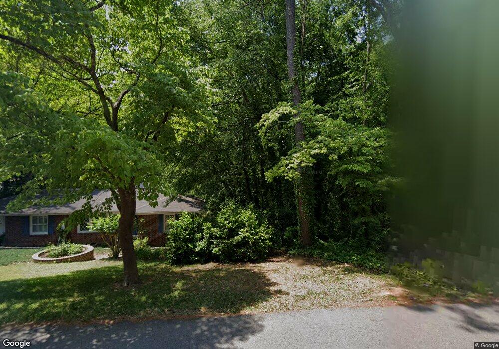
232 Cherokee Blvd Toccoa, GA 30577
Estimated Value: $172,000 - $212,237
3
Beds
2
Baths
1,292
Sq Ft
$149/Sq Ft
Est. Value
About This Home
This home is located at 232 Cherokee Blvd, Toccoa, GA 30577 and is currently estimated at $192,059, approximately $148 per square foot. 232 Cherokee Blvd is a home located in Stephens County with nearby schools including Stephens County High School.
Ownership History
Date
Name
Owned For
Owner Type
Purchase Details
Closed on
May 28, 2013
Sold by
Libby Sheriff B
Bought by
Charles Sheriff H
Current Estimated Value
Home Financials for this Owner
Home Financials are based on the most recent Mortgage that was taken out on this home.
Original Mortgage
$54,003
Outstanding Balance
$37,814
Interest Rate
3.37%
Mortgage Type
FHA
Estimated Equity
$154,245
Purchase Details
Closed on
Dec 20, 2012
Sold by
Charles Sheriff H
Bought by
Sprowls Christopher R and Sprowls Emily A
Purchase Details
Closed on
Feb 1, 1998
Bought by
Sheriff Charles H & Libby B
Create a Home Valuation Report for This Property
The Home Valuation Report is an in-depth analysis detailing your home's value as well as a comparison with similar homes in the area
Purchase History
| Date | Buyer | Sale Price | Title Company |
|---|---|---|---|
| Charles Sheriff H | $55,000 | -- | |
| Collins Beverly J | $55,000 | -- | |
| Sprowls Christopher R | $95,000 | -- | |
| Sheriff Charles H & Libby B | $50,000 | -- |
Source: Public Records
Mortgage History
| Date | Status | Borrower | Loan Amount |
|---|---|---|---|
| Open | Collins Beverly J | $54,003 | |
| Closed | Charles Sheriff H | $54,003 |
Source: Public Records
Tax History
| Year | Tax Paid | Tax Assessment Tax Assessment Total Assessment is a certain percentage of the fair market value that is determined by local assessors to be the total taxable value of land and additions on the property. | Land | Improvement |
|---|---|---|---|---|
| 2025 | $1,236 | $52,218 | $5,846 | $46,372 |
| 2024 | $1,239 | $36,449 | $5,846 | $30,603 |
| 2023 | $1,151 | $34,218 | $5,846 | $28,372 |
| 2022 | $882 | $31,629 | $5,846 | $25,783 |
| 2021 | $864 | $29,621 | $5,846 | $23,775 |
| 2020 | $869 | $29,506 | $5,846 | $23,660 |
| 2019 | $872 | $29,506 | $5,846 | $23,660 |
| 2018 | $877 | $29,663 | $6,003 | $23,660 |
| 2017 | $891 | $29,663 | $6,003 | $23,660 |
| 2016 | $877 | $29,662 | $6,002 | $23,660 |
| 2015 | $920 | $29,697 | $6,002 | $23,694 |
| 2014 | $1,003 | $29,698 | $6,003 | $23,695 |
| 2013 | -- | $30,522 | $6,002 | $24,520 |
Source: Public Records
Map
Nearby Homes
- 0 Hwy 17 Alt Unit 10577119
- 45 Hayes St
- 110 Valley Rd
- 148 Moreland Dr
- 122 King St
- 714 E Currahee St
- 297 Ayers Creek Dr
- 327 Ayers Creek Dr
- 59 Sunset Ln
- 27 Hilltop Ln
- 0 Stephen Dr Unit 10662201
- 229 Hilltop Ln
- 29 Mountain View Dr
- 43 Mountain View Dr
- 9 Poplar St
- 30 Moore Ave
- 43 Pauline St
- 84 Park St
- 1168 Rosedale St
- 0 Hillendale Dr Unit 7660500
- 104 Seminole Dr
- 227 Cherokee Blvd
- 205 Seminole Dr
- 80 Seminole Dr
- 44 Seminole Dr
- 190 Cherokee Blvd
- 212 Seminole Dr
- 70 Seminole Dr
- 293 Cherokee Blvd
- 49 Jones St
- 242 Cherokee Blvd
- 27 Cherokee St
- 311 Cherokee Blvd
- 130 Cherokee Blvd
- 258 Letourneau Dr
- 40 Jones St
- 73 Seminole Dr
- 59 Seminole Dr
- 113 Seminole Dr
- 89 Seminole Dr
Your Personal Tour Guide
Ask me questions while you tour the home.