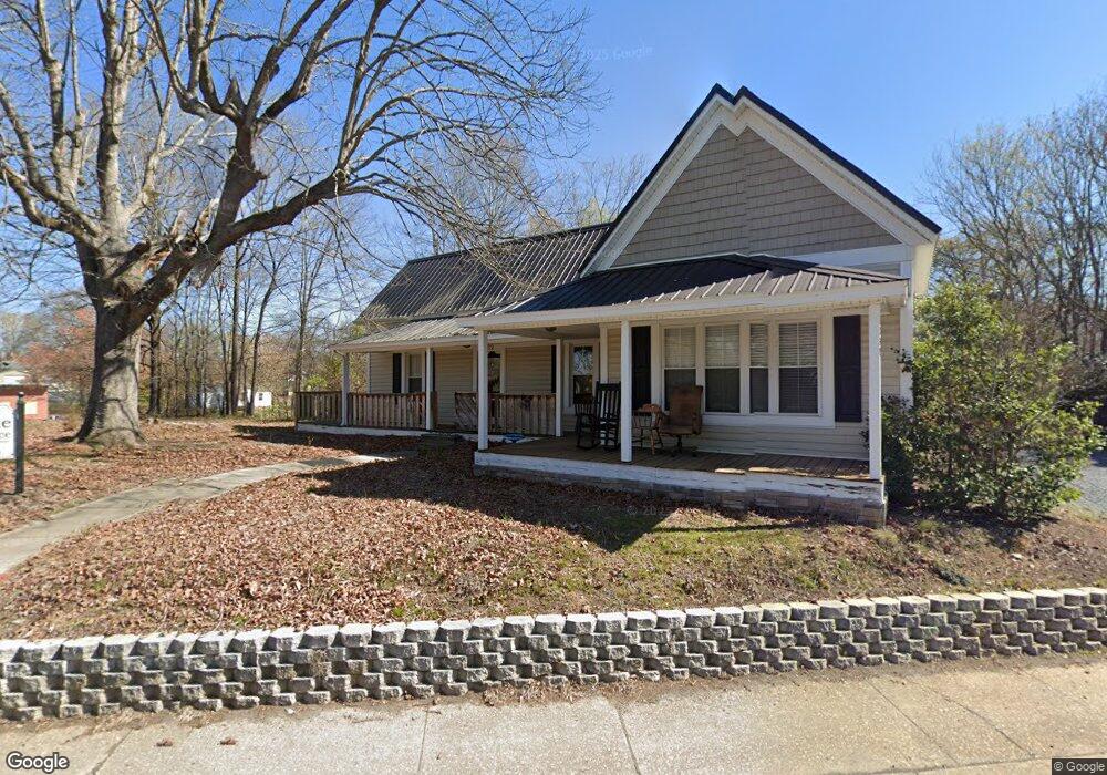
232 Concord Rd Albemarle, NC 28001
Estimated Value: $257,756
1
Bed
1
Bath
1,348
Sq Ft
$191/Sq Ft
Est. Value
About This Home
This home is located at 232 Concord Rd, Albemarle, NC 28001 and is currently estimated at $257,756, approximately $191 per square foot. 232 Concord Rd is a home located in Stanly County with nearby schools including Central Elementary School, Albemarle Middle School, and Albemarle High School.
Ownership History
Date
Name
Owned For
Owner Type
Purchase Details
Closed on
Dec 8, 2015
Sold by
Bilbo Harold A and Bilbo Karen A
Bought by
Kepp Edward A
Current Estimated Value
Purchase Details
Closed on
Jan 1, 2010
Bought by
Bilbo Harold A and Bilbo Karen A
Purchase Details
Closed on
Sep 8, 2009
Sold by
Zunino Emily
Bought by
Bilbo Harold A and Bilbo Karen A
Home Financials for this Owner
Home Financials are based on the most recent Mortgage that was taken out on this home.
Original Mortgage
$62,150
Interest Rate
5.14%
Mortgage Type
Commercial
Create a Home Valuation Report for This Property
The Home Valuation Report is an in-depth analysis detailing your home's value as well as a comparison with similar homes in the area
Purchase History
| Date | Buyer | Sale Price | Title Company |
|---|---|---|---|
| Kepp Edward A | $118,000 | Attorney | |
| Bilbo Harold A | -- | -- | |
| Bilbo Harold A | $77,000 | None Available |
Source: Public Records
Mortgage History
| Date | Status | Borrower | Loan Amount |
|---|---|---|---|
| Previous Owner | Bilbo Harold A | $62,150 |
Source: Public Records
Tax History
| Year | Tax Paid | Tax Assessment Tax Assessment Total Assessment is a certain percentage of the fair market value that is determined by local assessors to be the total taxable value of land and additions on the property. | Land | Improvement |
|---|---|---|---|---|
| 2025 | $1,838 | $164,076 | $24,367 | $139,709 |
| 2024 | $1,519 | $124,471 | $18,519 | $105,952 |
| 2023 | $1,519 | $124,471 | $18,519 | $105,952 |
| 2022 | $1,519 | $124,471 | $18,519 | $105,952 |
| 2021 | $1,519 | $124,471 | $18,519 | $105,952 |
| 2020 | $1,452 | $111,973 | $17,219 | $94,754 |
| 2019 | $1,467 | $111,973 | $17,219 | $94,754 |
| 2018 | $1,467 | $111,973 | $17,219 | $94,754 |
| 2017 | $1,411 | $111,973 | $17,219 | $94,754 |
| 2016 | $948 | $75,231 | $16,569 | $58,662 |
| 2015 | $958 | $75,231 | $16,569 | $58,662 |
| 2014 | $930 | $75,231 | $16,569 | $58,662 |
Source: Public Records
Map
Nearby Homes
Your Personal Tour Guide
Ask me questions while you tour the home.