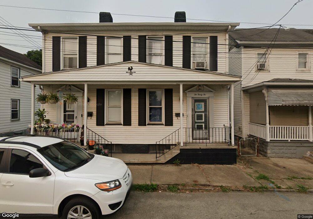
232 Dale St McKeesport, PA 15132
Estimated Value: $69,000 - $81,000
4
Beds
2
Baths
1,944
Sq Ft
$38/Sq Ft
Est. Value
About This Home
This home is located at 232 Dale St, McKeesport, PA 15132 and is currently estimated at $74,261, approximately $38 per square foot. 232 Dale St is a home located in Allegheny County with nearby schools including Mckeesport Area Senior High School, Propel Schools - McKeesport, and Walnut Grove Christian School.
Ownership History
Date
Name
Owned For
Owner Type
Purchase Details
Closed on
Sep 25, 2024
Sold by
Equity Trust Co Cust and Petrozza Luke E
Bought by
Lifestyle Connection L L C
Current Estimated Value
Purchase Details
Closed on
Sep 18, 2024
Sold by
Petrozza Luke E
Bought by
Lifestyle Connection Llc
Purchase Details
Closed on
May 4, 2016
Sold by
John Brusick Estate
Bought by
Equity Trust Company Custodian and Luke E Petrozza Ira
Purchase Details
Closed on
Feb 27, 2012
Sold by
Casturo Donald
Bought by
Brusick John
Purchase Details
Closed on
Aug 29, 2000
Sold by
Erkman Catherine and Casturo Judith
Bought by
Erkman Catherine and Casturo Judith
Create a Home Valuation Report for This Property
The Home Valuation Report is an in-depth analysis detailing your home's value as well as a comparison with similar homes in the area
Home Values in the Area
Average Home Value in this Area
Purchase History
| Date | Buyer | Sale Price | Title Company |
|---|---|---|---|
| Lifestyle Connection L L C | $70,000 | -- | |
| Lifestyle Connection Llc | $70,000 | -- | |
| Equity Trust Company Custodian | $22,000 | None Available | |
| Brusick John | $10,000 | -- | |
| Erkman Catherine | -- | -- |
Source: Public Records
Tax History Compared to Growth
Tax History
| Year | Tax Paid | Tax Assessment Tax Assessment Total Assessment is a certain percentage of the fair market value that is determined by local assessors to be the total taxable value of land and additions on the property. | Land | Improvement |
|---|---|---|---|---|
| 2025 | $2,005 | $43,400 | $3,000 | $40,400 |
| 2024 | $2,005 | $43,400 | $3,000 | $40,400 |
| 2023 | $2,005 | $43,400 | $3,000 | $40,400 |
| 2022 | $2,005 | $43,400 | $3,000 | $40,400 |
| 2021 | $1,510 | $43,400 | $3,000 | $40,400 |
| 2020 | $1,970 | $43,400 | $3,000 | $40,400 |
| 2019 | $1,322 | $43,400 | $3,000 | $40,400 |
| 2018 | $205 | $43,400 | $3,000 | $40,400 |
| 2017 | $1,203 | $43,400 | $3,000 | $40,400 |
| 2016 | $205 | $43,400 | $3,000 | $40,400 |
| 2015 | $205 | $43,400 | $3,000 | $40,400 |
| 2014 | $887 | $43,400 | $3,000 | $40,400 |
Source: Public Records
Map
Nearby Homes
- 418 Arctic St
- 601 Romine Ave
- 502 Archer St
- 800 Romine Ave
- 505 Manning Ave
- 911 Elmwood St
- 706 Upston St
- 706 Upston St Unit 2
- - Skyline Dr
- 2832 Skyline Dr
- 1000 Washington Blvd
- 732 Upston St
- 2678 Glenny Ln
- 19 Charles St
- 34 Park Ave
- 2301 Vermont Ave
- 2725 Glenny Ln
- 2247 Vermont Ave
- lot Sunset Dr
- 106 3rd St