232 Denham Dr Unit 154 Locust Grove, GA 30248
Estimated Value: $523,763 - $580,000
4
Beds
4
Baths
3,777
Sq Ft
$146/Sq Ft
Est. Value
About This Home
This home is located at 232 Denham Dr Unit 154, Locust Grove, GA 30248 and is currently estimated at $553,191, approximately $146 per square foot. 232 Denham Dr Unit 154 is a home located in Henry County with nearby schools including Bethlehem Elementary School, Luella Middle School, and Luella High School.
Ownership History
Date
Name
Owned For
Owner Type
Purchase Details
Closed on
Apr 30, 2020
Sold by
Builders Professional Grp Llc
Bought by
Harris Faith E and Harris Jeremy C
Current Estimated Value
Home Financials for this Owner
Home Financials are based on the most recent Mortgage that was taken out on this home.
Original Mortgage
$391,386
Outstanding Balance
$346,822
Interest Rate
3.3%
Mortgage Type
FHA
Estimated Equity
$206,369
Purchase Details
Closed on
Apr 23, 2018
Sold by
Bradford Athens Partnershi
Bought by
Builders Professional Grp Llc
Create a Home Valuation Report for This Property
The Home Valuation Report is an in-depth analysis detailing your home's value as well as a comparison with similar homes in the area
Home Values in the Area
Average Home Value in this Area
Purchase History
| Date | Buyer | Sale Price | Title Company |
|---|---|---|---|
| Harris Faith E | $404,900 | -- | |
| Builders Professional Grp Llc | -- | -- |
Source: Public Records
Mortgage History
| Date | Status | Borrower | Loan Amount |
|---|---|---|---|
| Open | Harris Faith E | $391,386 |
Source: Public Records
Tax History Compared to Growth
Tax History
| Year | Tax Paid | Tax Assessment Tax Assessment Total Assessment is a certain percentage of the fair market value that is determined by local assessors to be the total taxable value of land and additions on the property. | Land | Improvement |
|---|---|---|---|---|
| 2025 | $8,660 | $216,480 | $30,000 | $186,480 |
| 2024 | $8,660 | $215,600 | $24,000 | $191,600 |
| 2023 | $7,582 | $196,040 | $20,000 | $176,040 |
| 2022 | $6,810 | $175,920 | $20,000 | $155,920 |
| 2021 | $5,795 | $149,440 | $20,000 | $129,440 |
| 2020 | $3,165 | $80,880 | $20,000 | $60,880 |
| 2019 | $829 | $20,000 | $20,000 | $0 |
| 2018 | $446 | $10,000 | $10,000 | $0 |
| 2016 | $123 | $1,600 | $1,600 | $0 |
| 2015 | $125 | $1,600 | $1,600 | $0 |
| 2014 | $142 | $2,000 | $2,000 | $0 |
Source: Public Records
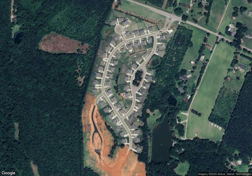
Map
Nearby Homes
- Meridian II Plan at Kingston
- Wagener Plan at Kingston
- Lauren II Plan at Kingston
- 512 Dolce Rd
- Wynwood Plan at Kingston
- Clarity Plan at Kingston
- Henry II Plan at Kingston
- Rosemary II Plan at Kingston
- 238 Linford Dr
- 211 Linford Dr
- Rainier Plan at Kingston
- 436 Lothbury Ave
- 3612 Bill Gardner Pkwy
- 504 Dolce Rd
- 0 Mallard Ln Unit LOT 51
- 7 Mallard Ln
- 274 Linford Dr
- 279 Linford Dr
- 1729 Cadence St
- 1509 Royce Dr
- 232 Denham Dr Unit 10
- 232 Denham Dr
- 228 Denham Dr
- 236 Denham Dr
- 161 Arabella Pike Unit 149
- 165 Arabella Pike
- 165 Arabella Pike Unit 150
- 157 Arabella Pike
- 153 Arabella Pike
- 169 Arabella Pike Unit 151
- 224 Denham Dr
- 237 Denham Dr
- 241 Denham Dr Unit 10
- 220 Denham Dr Unit 157
- 220 Sims Dr
- 401 Lothbury Ave Unit 160
- 401 Lothbury Ave
- 145 Arabella Pike
- 145 Arabella Pike Unit 145
- 145 Jaley Pkwy