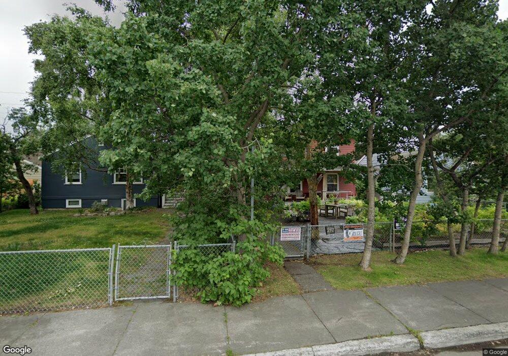
232 E 10th Ave Anchorage, AK 99501
Downtown Anchorage NeighborhoodEstimated Value: $291,000 - $484,752
4
Beds
2
Baths
2,096
Sq Ft
$192/Sq Ft
Est. Value
About This Home
This home is located at 232 E 10th Ave, Anchorage, AK 99501 and is currently estimated at $403,251, approximately $192 per square foot. 232 E 10th Ave is a home located in Anchorage Municipality with nearby schools including Central Middle School of Science, West High School, and Frontier Charter School.
Ownership History
Date
Name
Owned For
Owner Type
Purchase Details
Closed on
Jul 2, 2002
Sold by
Carnahan Mara P and Parker Mara
Bought by
Carnahan Patrick G and Carnahan Mara P
Current Estimated Value
Home Financials for this Owner
Home Financials are based on the most recent Mortgage that was taken out on this home.
Original Mortgage
$42,900
Outstanding Balance
$18,276
Interest Rate
6.78%
Estimated Equity
$384,975
Purchase Details
Closed on
Jul 20, 1999
Sold by
Carnahan Patrick G
Bought by
Parker Mara
Home Financials for this Owner
Home Financials are based on the most recent Mortgage that was taken out on this home.
Original Mortgage
$103,439
Interest Rate
7.51%
Mortgage Type
FHA
Create a Home Valuation Report for This Property
The Home Valuation Report is an in-depth analysis detailing your home's value as well as a comparison with similar homes in the area
Home Values in the Area
Average Home Value in this Area
Purchase History
| Date | Buyer | Sale Price | Title Company |
|---|---|---|---|
| Carnahan Patrick G | -- | -- | |
| Parker Mara | -- | -- |
Source: Public Records
Mortgage History
| Date | Status | Borrower | Loan Amount |
|---|---|---|---|
| Open | Carnahan Patrick G | $42,900 | |
| Previous Owner | Parker Mara | $103,439 |
Source: Public Records
Tax History
| Year | Tax Paid | Tax Assessment Tax Assessment Total Assessment is a certain percentage of the fair market value that is determined by local assessors to be the total taxable value of land and additions on the property. | Land | Improvement |
|---|---|---|---|---|
| 2025 | $6,211 | $456,300 | $148,400 | $307,900 |
| 2024 | $6,211 | $459,700 | $148,400 | $311,300 |
| 2023 | $7,633 | $448,200 | $148,400 | $299,800 |
| 2022 | $6,657 | $445,300 | $148,400 | $296,900 |
| 2021 | $7,417 | $411,600 | $148,400 | $263,200 |
| 2020 | $5,896 | $397,100 | $148,400 | $248,700 |
| 2019 | $5,767 | $402,500 | $148,400 | $254,100 |
| 2018 | $5,930 | $411,600 | $148,400 | $263,200 |
| 2017 | $6,170 | $414,000 | $148,400 | $265,600 |
| 2016 | $5,460 | $429,900 | $148,400 | $281,500 |
| 2015 | $5,460 | $416,200 | $148,400 | $267,800 |
| 2014 | $5,460 | $388,000 | $148,400 | $239,600 |
Source: Public Records
Map
Nearby Homes
- 380 E 11th Ave Unit 126
- 315 E 12th Ave Unit 345
- 1170 Denali St Unit 235
- 201 E 13th Ave
- 140 W 10th Ave Unit 4
- 423 E 12th Ave
- 414 E 9th Ave
- 436 E 11th Ave Unit 7
- 440 E 11th Ave Unit 1
- 1241 Denali St Unit 104
- 329 E 14th Ave Unit 11
- 545 E 11th Ave
- 1625 C St
- 525 E 14th Ave
- L12 B29D 15th & Denali St
- 1003 D St
- 1430 Bridgeway St Unit 7
- 1430 Bridgeway St Unit 9
- 100 W 15th Ave Unit A
- 342 Eyak Dr
- 218 E 10th Ave
- 234 E 10th Ave
- 214 E 10th Ave
- 206 E 10th Ave
- 231 E 11th Ave
- 225 E 11th Ave
- 237 E 11th Ave
- 1009 Barrow St
- 217 E 11th Ave
- 1032 Cordova St
- 1019 Cordova St
- 209 E 11th Ave
- 1035 Barrow St
- 310 E 10th Ave
- 1101 Cordova St
- 1101 Cordova St
- 1101 Cordova St
- 1101 Cordova St
- 1101 Cordova St
- 1101 Cordova St
Your Personal Tour Guide
Ask me questions while you tour the home.