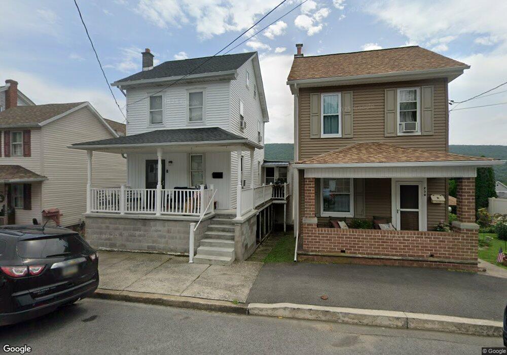
232 E Broad St Williamstown, PA 17098
Estimated Value: $117,000 - $151,000
2
Beds
1
Bath
1,401
Sq Ft
$100/Sq Ft
Est. Value
About This Home
This home is located at 232 E Broad St, Williamstown, PA 17098 and is currently estimated at $139,480, approximately $99 per square foot. 232 E Broad St is a home located in Dauphin County with nearby schools including Williams Valley Elementary School and Williams Valley Junior/Senior High School.
Ownership History
Date
Name
Owned For
Owner Type
Purchase Details
Closed on
Oct 2, 2006
Sold by
Williams Elmer R
Bought by
Ancheff George J
Current Estimated Value
Home Financials for this Owner
Home Financials are based on the most recent Mortgage that was taken out on this home.
Original Mortgage
$24,620
Interest Rate
6.11%
Mortgage Type
Unknown
Create a Home Valuation Report for This Property
The Home Valuation Report is an in-depth analysis detailing your home's value as well as a comparison with similar homes in the area
Purchase History
| Date | Buyer | Sale Price | Title Company |
|---|---|---|---|
| Ancheff George J | $47,200 | -- |
Source: Public Records
Mortgage History
| Date | Status | Borrower | Loan Amount |
|---|---|---|---|
| Open | Ancheff George J | $54,200 | |
| Closed | Ancheff George J | $38,799 | |
| Closed | Ancheff George J | $30,825 | |
| Closed | Ancheff George J | $24,620 |
Source: Public Records
Tax History
| Year | Tax Paid | Tax Assessment Tax Assessment Total Assessment is a certain percentage of the fair market value that is determined by local assessors to be the total taxable value of land and additions on the property. | Land | Improvement |
|---|---|---|---|---|
| 2025 | $1,693 | $47,200 | $9,900 | $37,300 |
| 2024 | $1,568 | $47,200 | $9,900 | $37,300 |
| 2023 | $1,516 | $47,200 | $9,900 | $37,300 |
| 2022 | $1,467 | $47,200 | $9,900 | $37,300 |
| 2021 | $1,432 | $47,200 | $9,900 | $37,300 |
| 2020 | $1,432 | $47,200 | $9,900 | $37,300 |
| 2019 | $1,432 | $47,200 | $9,900 | $37,300 |
| 2018 | $1,432 | $47,200 | $9,900 | $37,300 |
| 2017 | $1,404 | $47,200 | $9,900 | $37,300 |
| 2016 | $0 | $47,200 | $9,900 | $37,300 |
| 2015 | -- | $47,200 | $9,900 | $37,300 |
| 2014 | -- | $47,200 | $9,900 | $37,300 |
Source: Public Records
Map
Nearby Homes
- 210 E Spruce St
- 111 E Market St
- 128 E Market St
- 127 and 129 E Market St
- 215 W Market St
- 424 Julian St
- 429 W Market St
- 599 E Market St
- 638 W Market St
- 1193 W Market St
- 204 W Wiconisco Ave
- 134 W Wisconisco Ave
- 45 W Grand Ave
- 2 E Grand Ave
- 2 E Colliery Ave
- 0 E Colliery Ave Unit PASK2017240
- 101 E Colliery Ave
- 8690 Route 25
- 406 E Wiconisco Ave
- 8690 Pennsylvania 25
- 234 E Broad St
- 230 E Broad St
- 236 E Broad St
- 226 E Broad St
- 238 E Broad St
- 240 E Broad St
- 224 E Broad St
- 242 E Broad St
- 220 E Broad St
- 235 E Spruce St
- 231 E Spruce St
- 237 E Spruce St
- 227 E Spruce St
- 235 E Broad St
- 218 E Broad St
- 225 E Spruce St
- 245 E Spruce St
- 231 E Broad St
- 229 E Broad St
- 237 E Broad St
Your Personal Tour Guide
Ask me questions while you tour the home.