Estimated Value: $261,276 - $288,000
4
Beds
2
Baths
2,090
Sq Ft
$131/Sq Ft
Est. Value
About This Home
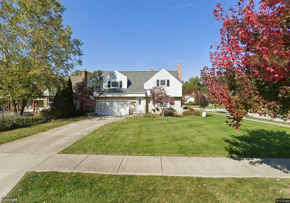
This home is located at 232 Elmwood Dr, Berea, OH 44017 and is currently estimated at $274,569, approximately $131 per square foot. 232 Elmwood Dr is a home located in Cuyahoga County with nearby schools including Grindstone Elementary School, Berea-Midpark Middle School, and Berea-Midpark High School.
Ownership History
Date
Name
Owned For
Owner Type
Purchase Details
Closed on
Oct 21, 2013
Sold by
Sanderson Katherine T and Mctaggart Katherine T
Bought by
Lamb Kristen
Current Estimated Value
Home Financials for this Owner
Home Financials are based on the most recent Mortgage that was taken out on this home.
Original Mortgage
$166,920
Outstanding Balance
$124,939
Interest Rate
4.4%
Mortgage Type
FHA
Estimated Equity
$149,630
Purchase Details
Closed on
Dec 23, 2005
Sold by
Crampton Wayne J and Crampton Joyce A
Bought by
Sanderson Katherine T
Home Financials for this Owner
Home Financials are based on the most recent Mortgage that was taken out on this home.
Original Mortgage
$128,800
Interest Rate
6.48%
Mortgage Type
Purchase Money Mortgage
Purchase Details
Closed on
Jun 18, 1984
Sold by
Glassner Joan C
Bought by
Crampton Wayne J
Purchase Details
Closed on
Jan 1, 1975
Bought by
Glassner Joan C
Create a Home Valuation Report for This Property
The Home Valuation Report is an in-depth analysis detailing your home's value as well as a comparison with similar homes in the area
Home Values in the Area
Average Home Value in this Area
Purchase History
| Date | Buyer | Sale Price | Title Company |
|---|---|---|---|
| Lamb Kristen | $170,000 | Liberty Title | |
| Sanderson Katherine T | $161,000 | Revere | |
| Crampton Wayne J | $64,500 | -- | |
| Glassner Joan C | -- | -- |
Source: Public Records
Mortgage History
| Date | Status | Borrower | Loan Amount |
|---|---|---|---|
| Open | Lamb Kristen | $166,920 | |
| Previous Owner | Sanderson Katherine T | $128,800 |
Source: Public Records
Tax History Compared to Growth
Tax History
| Year | Tax Paid | Tax Assessment Tax Assessment Total Assessment is a certain percentage of the fair market value that is determined by local assessors to be the total taxable value of land and additions on the property. | Land | Improvement |
|---|---|---|---|---|
| 2024 | $5,283 | $75,845 | $13,055 | $62,790 |
| 2023 | $4,837 | $61,260 | $11,800 | $49,460 |
| 2022 | $5,124 | $61,250 | $11,800 | $49,460 |
| 2021 | $4,896 | $60,620 | $11,800 | $48,830 |
| 2020 | $4,595 | $51,380 | $10,010 | $41,370 |
| 2019 | $4,858 | $146,800 | $28,600 | $118,200 |
| 2018 | $4,828 | $51,380 | $10,010 | $41,370 |
| 2017 | $5,284 | $56,530 | $10,710 | $45,820 |
| 2016 | $4,489 | $56,530 | $10,710 | $45,820 |
| 2015 | $3,507 | $56,530 | $10,710 | $45,820 |
| 2014 | $3,507 | $46,730 | $10,710 | $36,020 |
Source: Public Records
Map
Nearby Homes
- 238 Elmwood Dr
- 281 Oakdale Rd
- 244 Elmwood Dr
- 272 Westbridge Dr
- 239 Oakdale Rd
- 278 Westbridge Dr
- 231 Elmwood Dr
- 225 Elmwood Dr
- 237 Elmwood Dr
- 250 Elmwood Dr
- 284 Westbridge Dr
- 243 Elmwood Dr
- 219 Elmwood Dr
- 247 Oakdale Rd
- 256 Elmwood Dr
- 249 Elmwood Dr
- 290 Westbridge Dr
- 257 Oakdale Rd
- 232 Stanford Dr
- 238 Stanford Dr