232 Enterprise Dr Ochlocknee, GA 31773
Estimated Value: $312,000 - $418,000
3
Beds
3
Baths
2,450
Sq Ft
$150/Sq Ft
Est. Value
About This Home
This home is located at 232 Enterprise Dr, Ochlocknee, GA 31773 and is currently estimated at $368,671, approximately $150 per square foot. 232 Enterprise Dr is a home located in Grady County with nearby schools including Raev Academy.
Ownership History
Date
Name
Owned For
Owner Type
Purchase Details
Closed on
Nov 2, 2005
Sold by
Harrison Edward
Bought by
Anderson Leon M and Anderson Jamie M
Current Estimated Value
Purchase Details
Closed on
May 23, 2003
Sold by
Associates Financial Ser
Bought by
Harrison Edward
Purchase Details
Closed on
Feb 25, 2002
Sold by
Rutland Michael Wayne
Bought by
Associates Financial Ser
Purchase Details
Closed on
Oct 13, 1997
Sold by
Ga Pines Enterprises
Bought by
Rutland Michael Wayne
Create a Home Valuation Report for This Property
The Home Valuation Report is an in-depth analysis detailing your home's value as well as a comparison with similar homes in the area
Purchase History
| Date | Buyer | Sale Price | Title Company |
|---|---|---|---|
| Anderson Leon M | $85,000 | -- | |
| Harrison Edward | -- | -- | |
| Associates Financial Ser | -- | -- | |
| Rutland Michael Wayne | $25,000 | -- |
Source: Public Records
Tax History
| Year | Tax Paid | Tax Assessment Tax Assessment Total Assessment is a certain percentage of the fair market value that is determined by local assessors to be the total taxable value of land and additions on the property. | Land | Improvement |
|---|---|---|---|---|
| 2025 | $2,779 | $166,207 | $27,465 | $138,742 |
| 2024 | $2,779 | $130,987 | $27,465 | $103,522 |
| 2023 | $2,167 | $80,925 | $13,693 | $67,232 |
| 2022 | $2,165 | $80,925 | $13,693 | $67,232 |
| 2021 | $2,169 | $80,925 | $13,693 | $67,232 |
| 2020 | $2,174 | $80,925 | $13,693 | $67,232 |
| 2019 | $2,172 | $80,925 | $13,693 | $67,232 |
| 2018 | $2,036 | $80,925 | $13,693 | $67,232 |
| 2017 | $2,185 | $80,925 | $13,693 | $67,232 |
| 2016 | $1,907 | $70,449 | $13,693 | $56,756 |
| 2015 | $1,883 | $70,449 | $13,693 | $56,756 |
| 2014 | $1,886 | $70,449 | $13,693 | $56,756 |
| 2013 | -- | $73,252 | $19,435 | $53,816 |
Source: Public Records
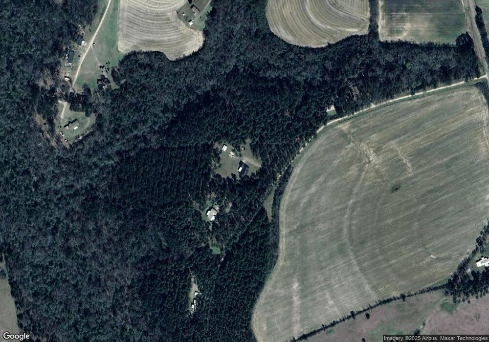
Map
Nearby Homes
- 272 Homers Rd
- 000 Noles Rd
- 0 N 111 Hwy
- 126 Banks Rd
- 1521 Stage Coach Rd
- Rich Rd
- 1016 Richter Rd
- 189 Sabino Dr
- 565 Bond Rd
- 1685 Union Hill Rd
- 835 Mill Pond Rd
- 53 +/- A Bond Rd
- 5488 Bulloch Rd
- 3136 State Route 188
- 2427 Pierce Chapel Rd
- 7068 W Marshall St Unit MG
- 1741 Georgia 112
- 322 Woodridge Ln
- 333 + 2 Woodridge Ln
- Lot 12C Garrett's Point
- 260 Enterprise Dr
- 168 Enterprise Dr
- 818 Noles Rd
- 207 Spence Rd
- 200 Spence Rd
- 704 Noles Rd
- 366 Spence Rd
- 389 Spence Rd
- 174 Spence Rd
- 623 Noles Rd
- 623 Noles Rd
- 639 Noles Rd
- 641 Noles Rd
- 974 Pleasant Grove Rd
- 159 Spence Rd
- 1029 Pleasant Grove Rd
- 919 Pleasant Grove Rd
- 1100 Pleasant Grove Rd
- 1011 Pleasant Grove Rd
- 1015 Pleasant Grove Rd
Your Personal Tour Guide
Ask me questions while you tour the home.