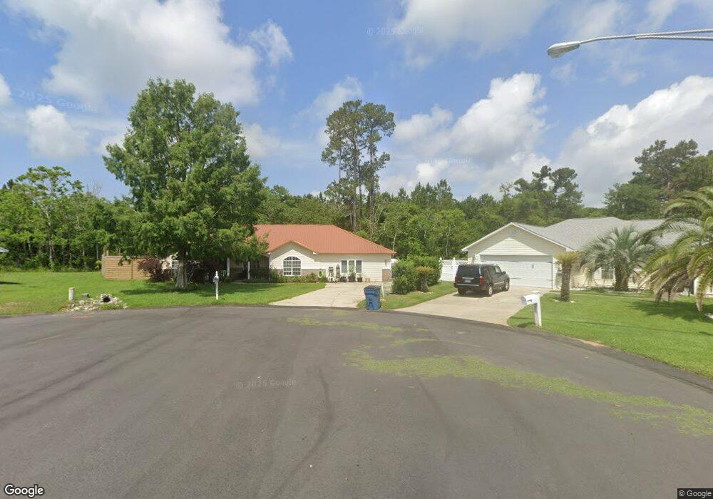
232 Howard Cir Gulf Shores, AL 36542
Estimated Value: $324,000 - $446,000
4
Beds
2
Baths
2,145
Sq Ft
$175/Sq Ft
Est. Value
About This Home
This home is located at 232 Howard Cir, Gulf Shores, AL 36542 and is currently estimated at $375,917, approximately $175 per square foot. 232 Howard Cir is a home located in Baldwin County with nearby schools including Gulf Shores Elementary School, Gulf Shores Middle School, and Gulf Shores High School.
Ownership History
Date
Name
Owned For
Owner Type
Purchase Details
Closed on
Jun 27, 2018
Sold by
Herring Bruce and Herring Elaine L
Bought by
Angelidakis Emmauel and Herring Sara
Current Estimated Value
Home Financials for this Owner
Home Financials are based on the most recent Mortgage that was taken out on this home.
Original Mortgage
$112,000
Outstanding Balance
$97,279
Interest Rate
4.6%
Mortgage Type
New Conventional
Estimated Equity
$278,638
Purchase Details
Closed on
Dec 20, 2011
Sold by
Howard Robert W and Howard Karen
Bought by
Herring Bruce and Herring Elaine L
Create a Home Valuation Report for This Property
The Home Valuation Report is an in-depth analysis detailing your home's value as well as a comparison with similar homes in the area
Home Values in the Area
Average Home Value in this Area
Purchase History
| Date | Buyer | Sale Price | Title Company |
|---|---|---|---|
| Angelidakis Emmauel | $160,000 | None Available | |
| Herring Bruce | -- | None Available |
Source: Public Records
Mortgage History
| Date | Status | Borrower | Loan Amount |
|---|---|---|---|
| Open | Angelidakis Emmauel | $112,000 |
Source: Public Records
Tax History Compared to Growth
Tax History
| Year | Tax Paid | Tax Assessment Tax Assessment Total Assessment is a certain percentage of the fair market value that is determined by local assessors to be the total taxable value of land and additions on the property. | Land | Improvement |
|---|---|---|---|---|
| 2024 | $740 | $23,780 | $5,360 | $18,420 |
| 2023 | $710 | $22,880 | $5,640 | $17,240 |
| 2022 | $609 | $19,820 | $0 | $0 |
| 2021 | $550 | $18,020 | $0 | $0 |
| 2020 | $517 | $17,040 | $0 | $0 |
| 2019 | $558 | $18,260 | $0 | $0 |
| 2018 | $1,056 | $32,000 | $0 | $0 |
| 2017 | $1,022 | $30,960 | $0 | $0 |
| 2016 | $972 | $29,440 | $0 | $0 |
| 2015 | $908 | $27,520 | $0 | $0 |
| 2014 | $781 | $23,680 | $0 | $0 |
| 2013 | -- | $24,880 | $0 | $0 |
Source: Public Records
Map
Nearby Homes
- 21045 Live Oak Cir Unit 3
- 21057 Live Oak Cir Unit 4
- 21023 Live Oak Cir Unit 2
- 21011 Live Oak Cir Unit 1
- 423 Gemini St
- 3866 Stafford Blvd
- 3808 Borman Ct
- 377 Apollo Ave
- 401 Apollo Ave
- 3730 Cypress Point Dr Unit 103A
- 3736 Cypress Point Dr Unit 305B
- 20073 Dotson St Unit 10
- 20073 Dotson St Unit 7
- 20073 Dotson St
- 3850 Borman Loop
- 3834 Borman Loop
- 0 William St Unit 386135
- 5785 Shady Woods Ct
- 485 Shepard St
- 254 Royal Dr
- 228 Howard Cir
- 229 Howard Cir
- 224 Howard Cir
- 225 Howard Cir
- 220 Howard Cir
- 3760 Highland St
- 3725 Highland St
- 3715 Highland St
- 3705 Highland St
- 3735 Highland St
- 3770 Highland St
- 3745 Highland St
- 3755 Highland St
- 3780 Highland St
- 3775 Highland St
- 3765 Highland St
- 225 Harrison Cir
- 0 Highland St
- 227 Harrison Cir
- 5081 Northshore Dr