Estimated Value: $231,783 - $259,000
3
Beds
1
Bath
1,100
Sq Ft
$224/Sq Ft
Est. Value
About This Home
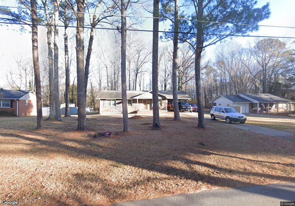
This home is located at 232 John Barber Rd, Hiram, GA 30141 and is currently estimated at $246,196, approximately $223 per square foot. 232 John Barber Rd is a home located in Paulding County with nearby schools including Sam D. Panter Elementary School, J. A. Dobbins Middle School, and Hiram High School.
Ownership History
Date
Name
Owned For
Owner Type
Purchase Details
Closed on
Aug 12, 1999
Sold by
Shell Johnny R and Shell Helen A
Bought by
Shell Tim R
Current Estimated Value
Create a Home Valuation Report for This Property
The Home Valuation Report is an in-depth analysis detailing your home's value as well as a comparison with similar homes in the area
Home Values in the Area
Average Home Value in this Area
Purchase History
| Date | Buyer | Sale Price | Title Company |
|---|---|---|---|
| Shell Tim R | -- | -- |
Source: Public Records
Tax History Compared to Growth
Tax History
| Year | Tax Paid | Tax Assessment Tax Assessment Total Assessment is a certain percentage of the fair market value that is determined by local assessors to be the total taxable value of land and additions on the property. | Land | Improvement |
|---|---|---|---|---|
| 2024 | $1,896 | $79,452 | $7,040 | $72,412 |
| 2023 | $1,920 | $76,168 | $6,840 | $69,328 |
| 2022 | $2,084 | $67,336 | $5,400 | $61,936 |
| 2021 | $1,715 | $50,772 | $4,200 | $46,572 |
| 2020 | $1,695 | $45,368 | $4,000 | $41,368 |
| 2019 | $1,616 | $40,120 | $4,200 | $35,920 |
| 2018 | $979 | $32,492 | $8,560 | $23,932 |
| 2017 | $1,329 | $29,128 | $8,200 | $20,928 |
| 2016 | $1,284 | $25,144 | $8,200 | $16,944 |
| 2015 | $718 | $23,344 | $8,040 | $15,304 |
| 2014 | $692 | $21,908 | $7,360 | $14,548 |
| 2013 | -- | $19,840 | $7,680 | $12,160 |
Source: Public Records
Map
Nearby Homes
- 333 Lake Swan Ct
- 333 Ct
- 75 Clay Ct
- 98 Davis Ct
- 179 Country Club Dr
- 254 Swan Dr
- 87 Country Club Ct
- 1019 Davis Mill Rd S
- 35 Oakmont Pass
- 73 Riverstone Dr
- 525 Davis Mill Dr
- 14 Riverstone Dr
- 253 Mill Pointe Trail
- 56 Creekside Point
- 6 Creekside Bluff
- 105 Pine Valley Ct Unit 1
- The Harrington Plan at Garrett Preserve
- The Caldwell Plan at Garrett Preserve
- The McGinnis Plan at Garrett Preserve
- 27 Autrey Dr
- 222 John Barber Rd
- 258 John Barber Rd
- 194 John Barber Rd
- 241 John Barber Rd
- 213 John Barber Rd
- 45 Hickory Branch
- 76 Hickory Branch
- 93 Hickory Branch
- 73 Hickory Branch
- 25 Hickory Branch
- 54 Hickory Branch
- 34 Hickory Branch
- 19 Hickory Branch
- 33 Hickory Branch
- 64 Hickory Branch
- 55 Hickory Branch
- 44 Hickory Branch
- 81 Hickory Branch
- 259 John Barber Rd
- 195 John Barber Rd